Maps of the City of Philadelphia, 1858-1860, Plate 89
Maps 1860: Hexamer & Locher, Maps of the City of Philadelphia: Volume 7
Item Info
Item No: MHXLBH00007
Title: Maps of the City of Philadelphia, 1858-1860, Plate 89
Additional Title: Maps of the City of Philadelphia, 1858-1860: Volume 7
Publication Year:
1860
Page: 7
Work Type: Property Atlases/Maps
Source: Map Collection
Notes:
Southwark Planing Mill: east side Swanson Street above Washington Avenue
Northside Orientation of Image: Right
Alternate Page Number: Plate 89
City/Town/Township: Geographic Coverage State/Province:Pennsylvania
Geographic Coverage City/Town/Township:Philadelphia
Creator Name: Hexamer & Locher
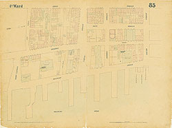 Plate 85
 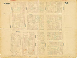 Plate 86
 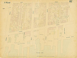 Plate 87
 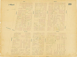 Plate 88
 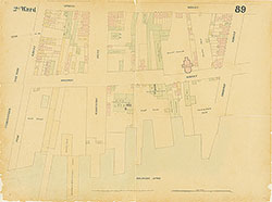 Plate 89
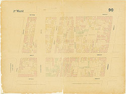 Plate 90
 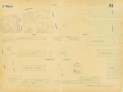 Plate 91
 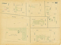 Plate 92
  Plate 92, Section A1
  Plate 92, Section A2
 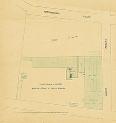 Plate 92, Section A3
  Plate 92, Section B1
 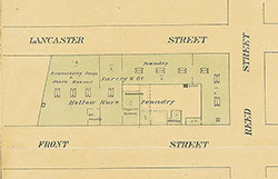 Plate 92, Section B2
 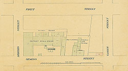 Plate 92, Section B3
 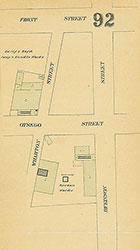 Plate 92, Section B4
 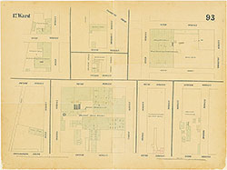 Plate 93
 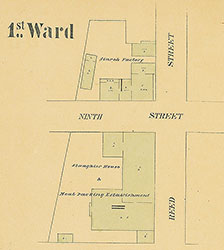 Plate 93, Section A1
  Plate 93, Section A2
  Plate 93, Section A3
  Plate 93, Section A4
 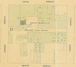 Plate 93, Section A5
 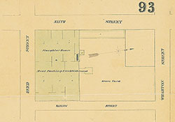 Plate 93, Section B1
  Plate 93, Section B2
 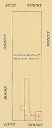 Plate 93, Section B3
 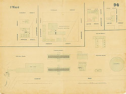 Plate 94
 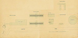 Plate 94, A1 - City Gas Works
 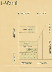 Plate 94, Section A2
 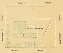 Plate 94, Section A3
 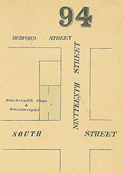 Plate 94, Section B1
 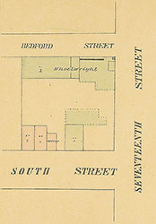 Plate 94, Section B2
 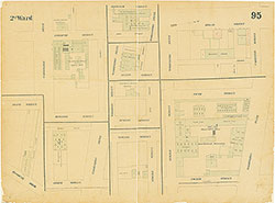 Plate 95
 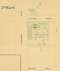 Plate 95, Section A1
 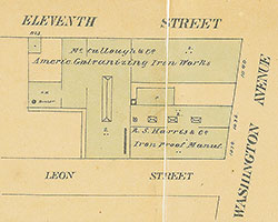 Plate 95, Section A2
 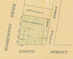 Plate 95, Section A3
 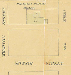 Plate 95, Section A4
 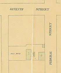 Plate 95, Section A5
 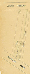 Plate 95, Section A6
 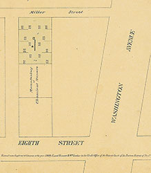 Plate 95, Section A7
  Plate 95, Section B1
  Plate 95, Section B2
 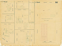 Plate 96
 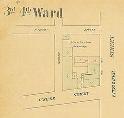 Plate 96, Section A1
  Plate 96, Section A2
  Plate 96, Section A3
 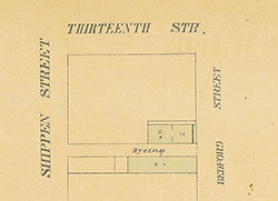 Plate 96, Section A4
 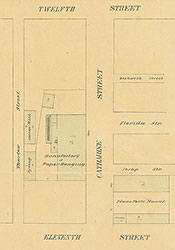 Plate 96, Section A5
 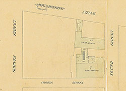 Plate 96, Section A6
 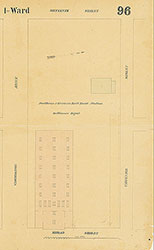 Plate 96, Section B1
 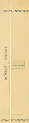 Plate 96, Section B2
 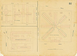 Plate 97 - Institutions
  plate 97 (Institutions), Section A1
 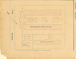 Plate 97 (Institutions), Section A2
 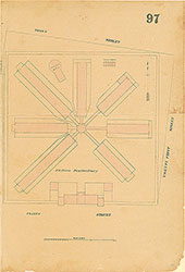 Plate 97 (Institutions), Section B1
 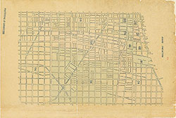 Index (v. 7)
 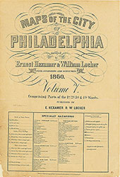 Title
Title