Hexamer General Surveys, Volume 6, Plates 550-551
Maps 1871-1874: Hexamer General Surveys: Volume 6, Plates 456-555
Item Info
Item No: MHGSAG00087
Title: Hexamer General Surveys, Volume 6, Plates 550-551
Additional Title: Hexamer General Surveys, Volume 6
Page:
550
Street Address: Schuykill River and Gray's Ferry Bridge (1 mile)
Work Type: Industrial Site Surveys
Source: Map Collection
Notes:
Corner: SE
Notes:
Covers Plates: 550 - 551
Notes:
Facility Name: Franklin Oil Works
Owner: Stewart, John L.
Products:
- Petroleum/Oil-Refinery
Notes:
Ward: 27
Northside Orientation of Image: North
Alternate Page Number: Plates 550-551
City/Town/Township: Geographic Coverage Ward:27th ward
Geographic Coverage State/Province:Pennsylvania
Geographic Coverage City/Town/Township:Philadelphia
Geographic Coverage Neighborhood:Southwest Philadelphia (Gibson's Point)
Geographic Coverage Region/County:Philadelphia
Creator Name: Ernest Hexamer
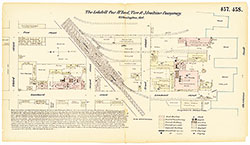 Plates 457-458
 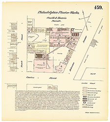 Plate 459
 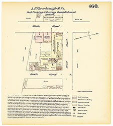 Plate 460
 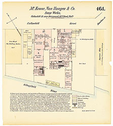 Plate 461
 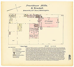 Plate 462
 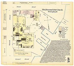 Plate 463
 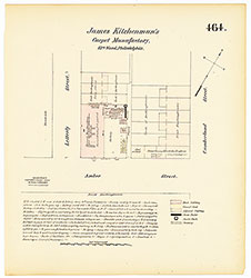 Plate 464
 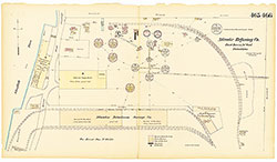 Plates 465-466
 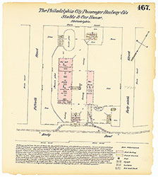 Plate 467
 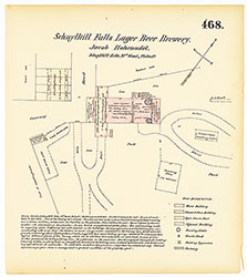 Plate 468
 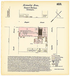 Plate 469
 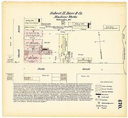 Plate 470
 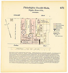 Plate 471
 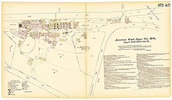 Plates 472-473
 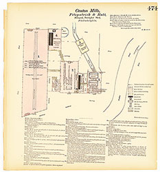 Plate 474
 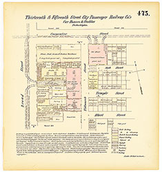 Plate 475
 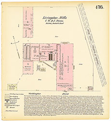 Plate 476
 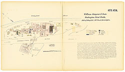 Plates 477-478
 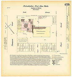 Plate 479
 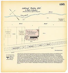 Plate 480
 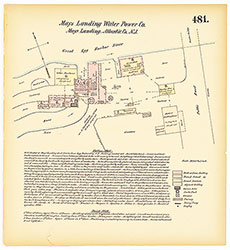 Plate 481
 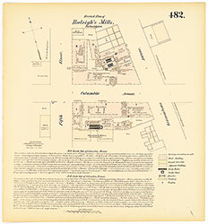 Plate 482
 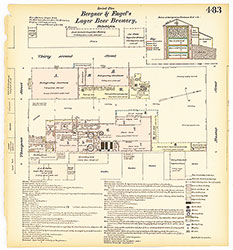 Plate 483
 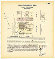 Plate 484
 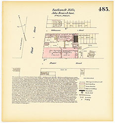 Plate 485
 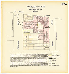 Plate 486
 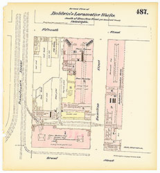 Plate 487
 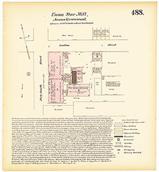 Plate 488
 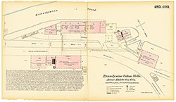 Plates 489-490
 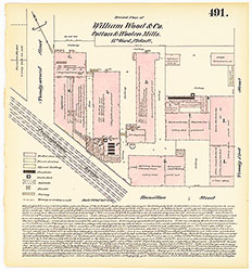 Plate 491
 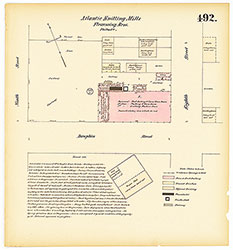 Plate 492
 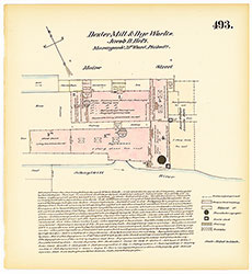 Plate 493
 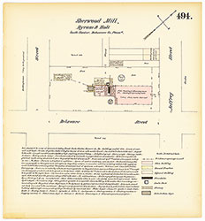 Plate 494
 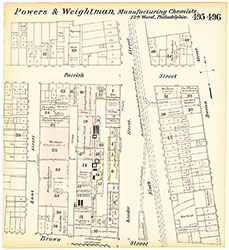 Plates 495-496
 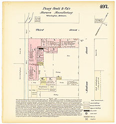 Plate 497
 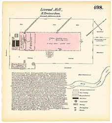 Plate 498
 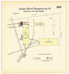 Plate 499
 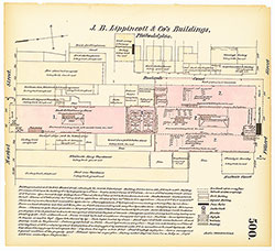 Plate 500
 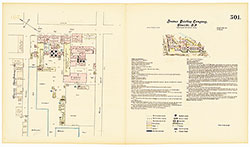 Plate 501
 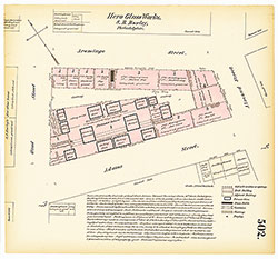 Plate 502
  Plate 503
  Plate 504
  Plate 505
 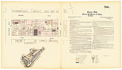 Plate 506
 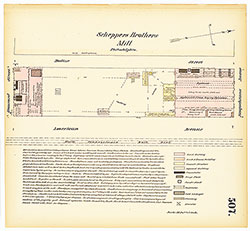 Plate 507
 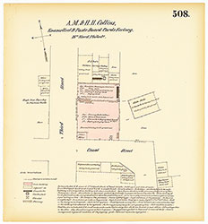 Plate 508
 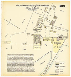 Plate 509
 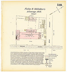 Plate 510
 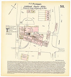 Plate 511
 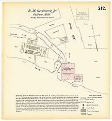 Plate 512
 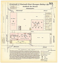 Plate 513
 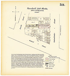 Plate 514
 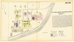 Plates 515-516
 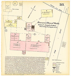 Plate 517
 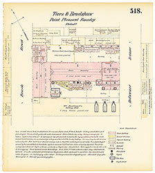 Plate 518
 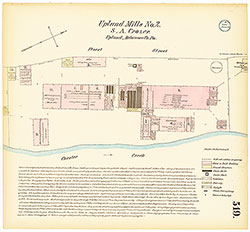 Plate 519
 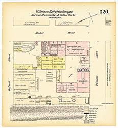 Plate 520
 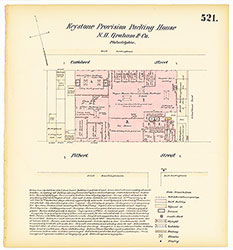 Plate 521
 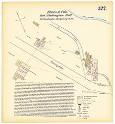 Plate 522
 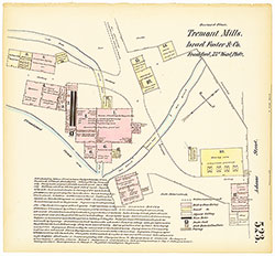 Plate 523
 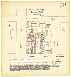 Plate 525
 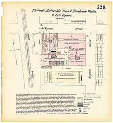 Plate 526
 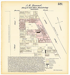 Plate 527
 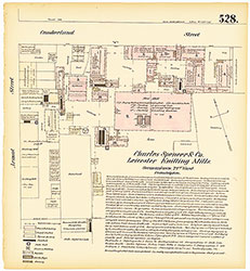 Plate 528
 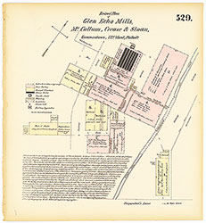 Plate 529
 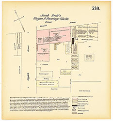 Plate 530
 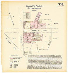 Plate 532
 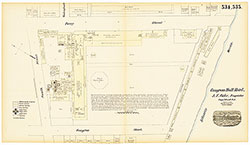 Plates 534-535
 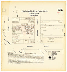 Plate 537
 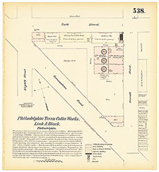 Plate 538
 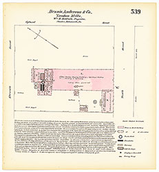 Plate 539
 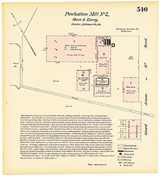 Plate 540
 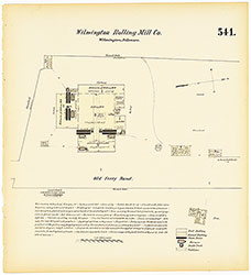 Plate 541
 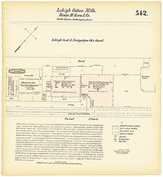 Plate 542
 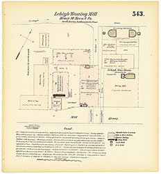 Plate 543
 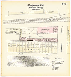 Plate 544
 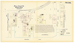 Plates 545-546
 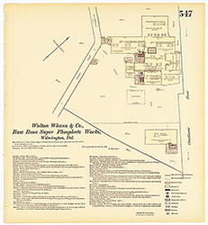 Plate 547
 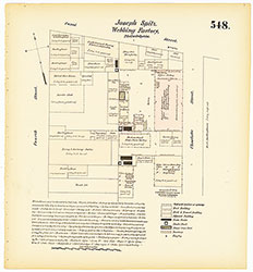 Plate 548
 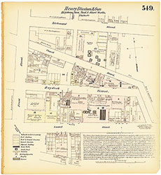 Plate 549
 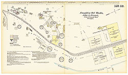 Plates 550-551
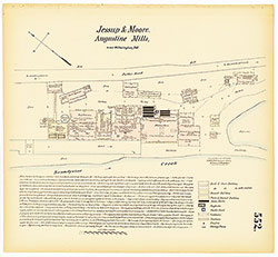 Plate 552
 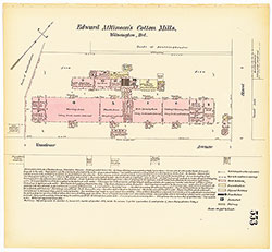 Plate 553
 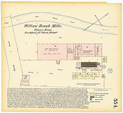 Plate 554
 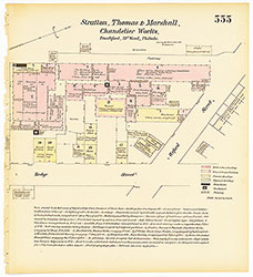 Plate 555
 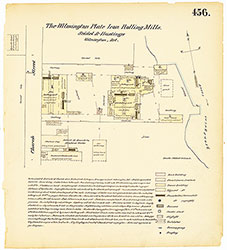 Plate 456
 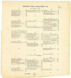 Index (Vol. 6)