Insurance Maps of the City of Philadelphia, 1915-1920, Plate 19
Maps 1915-1920: Hexamer, Insurance Maps of the City of Philadelphia, Volume 2 Revised
Item Info
Item No: MHIMAD00014
Title: Insurance Maps of the City of Philadelphia, 1915-1920, Plate 19
Additional Title: Insurance Maps of the City of Philadelphia, 1915-1920: Volume 2 Revised
Page:
14
Work Type: Property Atlases/Maps
Source: Map Collection
Alternate Page Number: 19
City/Town/Township: Geographic Coverage Ward:10th ward
Geographic Coverage State/Province:Pennsylvania
Geographic Coverage City/Town/Township:Philadelphia
Geographic Coverage Neighborhood:Center City
Geographic Coverage Region/County:Philadelphia
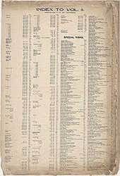 Street Index
  14
14 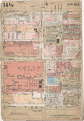 14 1/2
 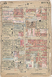 15
15 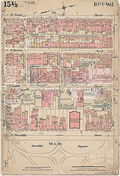 15 1/2
 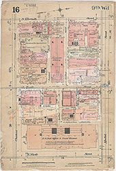 16
16 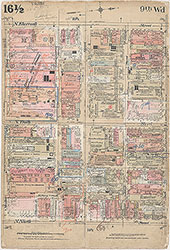 16 1/2
 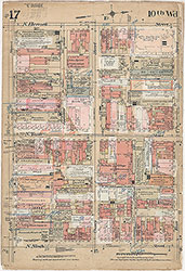 17
17 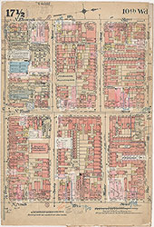 17 1/2
 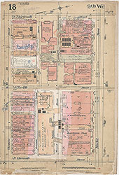 18
18 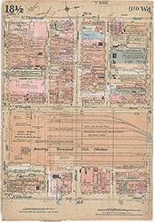 18 1/2
 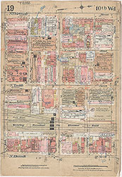 19
19
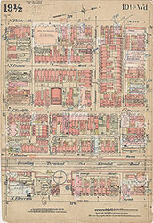 19 1/2
 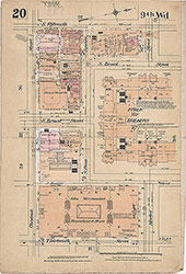 20
20 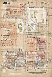 20 1/2
 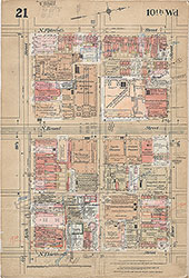 21
21 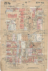 21 1/2
 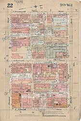 22
22 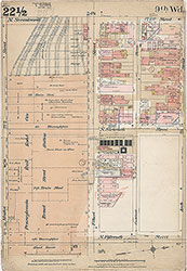 22 1/2
 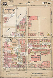 23
23 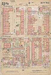 23 1/2
 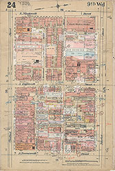 24
24 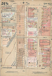 24 1/2
 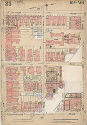 25
25 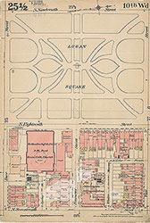 25 1/2
 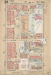 26
26 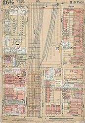 26 1/2
 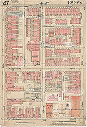 27
27 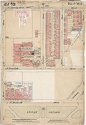 27 1/2
 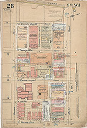 28
28 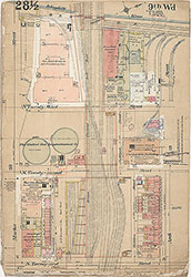 28 1/2
 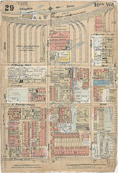 29
29 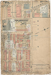 29 1/2
 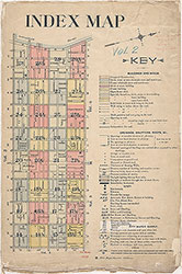 Index Map and Key
 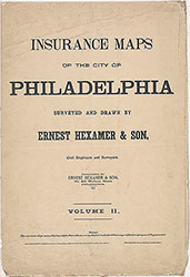 Title Page