Insurance Maps of the City of Philadelphia, 1887, Plate 36
Maps 1887: Hexamer, Insurance Maps of the City of Philadelphia, Volume 3
Item Info
Item No: MHIMAE00010
Title: Insurance Maps of the City of Philadelphia, 1887, Plate 36
Additional Title: Insurance Maps of the City of Philadelphia, 1887: Volume 3
Publication Year:
1887
Page: 10
Work Type: Property Atlases/Maps
Source: Map Collection
Northside Orientation of Image: Top
Alternate Page Number: Plate 36
City/Town/Township: Geographic Coverage Ward:8th Ward
Geographic Coverage State/Province:Pennsylvania
Geographic Coverage City/Town/Township:Philadelphia
Geographic Coverage Neighborhood:Center City
Geographic Coverage Region/County:Philadelphia
Creation Year (Single Year or Range Begin): 1887
Creator Name: Ernest Hexamer & Son - Publisher
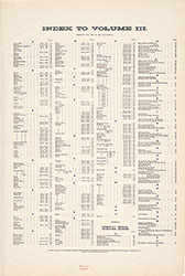 Street Index
 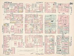 Plate 30
 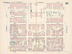 Plate 31
 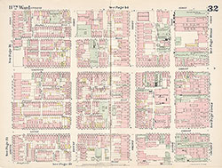 Plate 32
 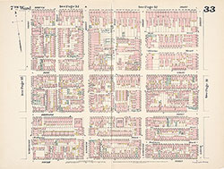 Plate 33
 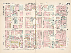 Plate 34
 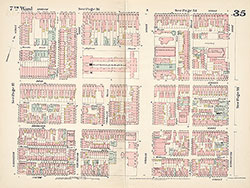 Plate 35
 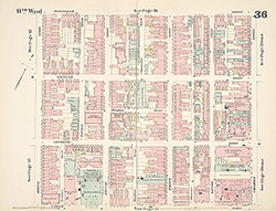 Plate 36
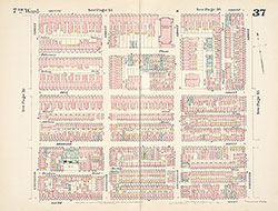 Plate 37
 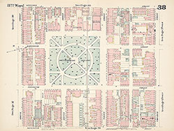 Plate 38
  Plate 39
 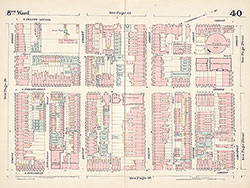 Plate 40
 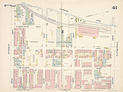 Plate 41
 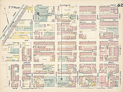 Plate 42
 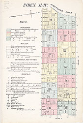 Map Index and Key
 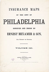 Title Page