Franklin's Street and Business Occupancy Atlas of Philadelphia & Suburbs, 1946, Location Map 19
Maps 1946: Franklin's Street and Business Occupancy Atlas of Philadelphia & Suburbs
Item Info
Item No: MFSCAA00045
Title: Franklin's Street and Business Occupancy Atlas of Philadelphia & Suburbs, 1946, Location Map 19
Additional Title: Franklin's Street and Business Occupancy Atlas of Philadelphia & Suburbs, 1946
Publication Year:
1946
Page: 45
Work Type: Business Occupancy Maps
Source: Map Collection
Northside Orientation of Image: Top
Alternate Page Number: Location Map 19
City/Town/Township: Geographic Coverage State/Province:Pennsylvania
Geographic Coverage City/Town/Township:Philadelphia
Geographic Coverage Region/County:Philadelphia
Creator Name: Franklin Survey Company - Publisher
Subjects
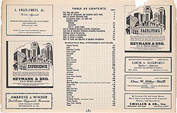 Contents
 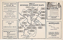 Occupancy Map Index
 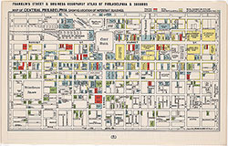 Center City Buildings
 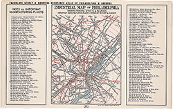 Industrial Map & Index
 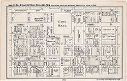 Center City Sales, 1944/45
 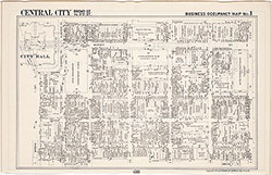 Occupancy Map 1 (Center City)
 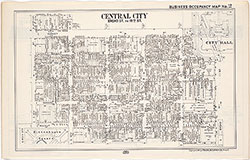 Occupancy Map 2 (Center City)
 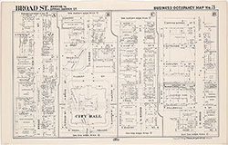 Occupancy Map 3
  Occupancy Map 4
  Occupancy Map 5
  Occupancy Map 6
  Occupancy Map 7
  Occupancy Map 8
  Occupancy Map 9
  Occupancy Map 10
  Occupancy Map 11
 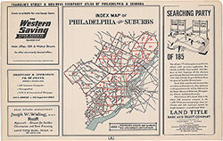 General Business Location Map Index
 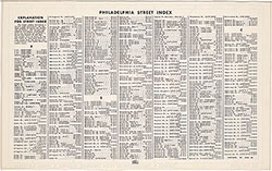 Philadelphia Street Index, A-Carroll
 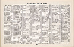 Philadelphia Street Index, Carson-Everett
 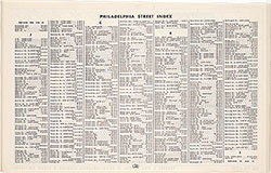 Philadelphia Street Index, Evergreen-Idell
 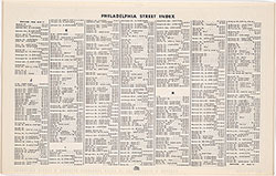 Philadelphia Street Index, Imogene-Milnor
 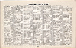 Philadelphia Street Index, Milnor-Rhawn
 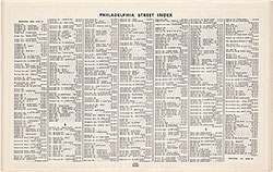 Philadelphia Street Index, Rhoads-Tulpehocken
 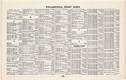 Philadelphia Street Index, Tulpehocken-40th
 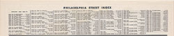 Philadelphia Street Index, 40th-95th
 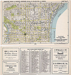 Location Map 1
 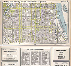 Location Map 2
 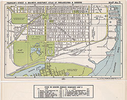 Location Map 3
 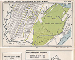 Location Map 4
  Location Map 5
 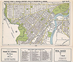 Location Map 6
 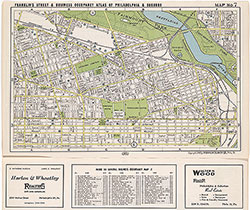 Location Map 7
 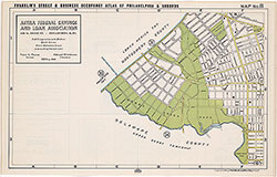 Location Map 8
 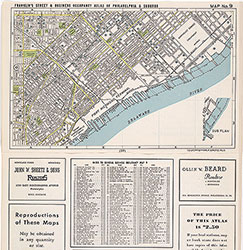 Location Map 9
 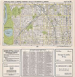 Location Map 10
 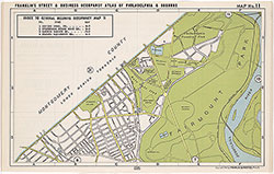 Location Map 11
 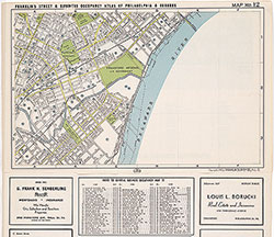 Location map 12
 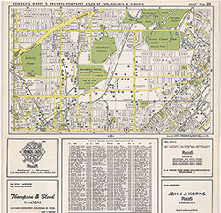 Location Map 13
 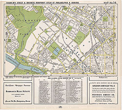 Location Map 14
 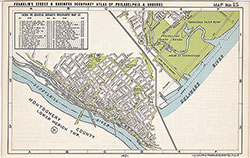 Location Map 15
 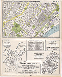 Location Map 16
 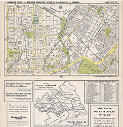 Location Map 17
 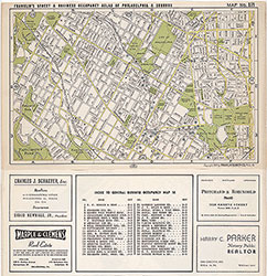 Location Map 18
  Location Map 19
 Location Map 20
 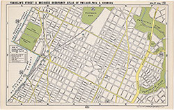 Location Map 21
 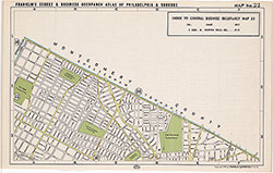 Location Map 22
 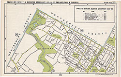 Location Map 23
 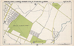 Location Map 24
 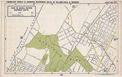 Location Map 25
 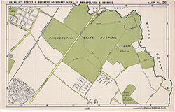 Location Map 26
 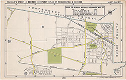 Location Map 27
  Suburban Town Index
 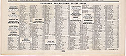 Suburban Street Index, Abington-Haverford
 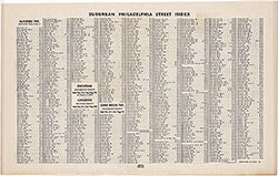 Suburban Street Index, Haverford-Lower Merion
 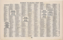 Suburban Street Index, Lower Merion-Upper Darby
 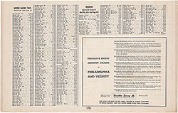 Suburban Street Index, Upper Darby-Yeadon
 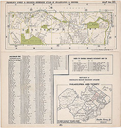 Location Map 28
  Location Map 29
  Location Map 30
  Location Map 31
 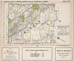 Location Map 32
 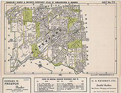 Location Map 33
 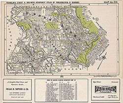 Location Map 34
 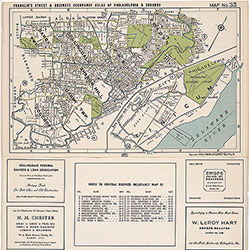 Location Map 35
 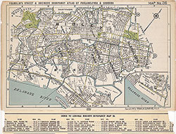 Location Map 36
 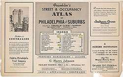 Legend
 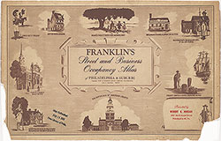 Title Page