City Atlas of Philadelphia, 2nd to 20th and 29th and 31st Wards, 1875, Plate A
Maps 1875: G. M. Hopkins, Atlas of Philadelphia, Wards 2-20, 29, 31, Volume 6
Item Info
Item No: MGMHAE00007
Title: City Atlas of Philadelphia, 2nd to 20th and 29th and 31st Wards, 1875, Plate A
Additional Title: City Atlas of Philadelphia, 2nd to 20th and 29th and 31st Wards, 1875: Volume 6
Publication Year:
1875
Page: 7
Work Type: Property Atlases/Maps
Source: Map Collection
Notes:
H.W. Hopkins, Assistant Surveyor
G. W. Bromley, Assistant Surveyor
Notes:
Volume 6 of 6
Northside Orientation of Image: Top
Alternate Page Number: Plate A
City/Town/Township: Geographic Coverage State/Province:Pennsylvania
Geographic Coverage City/Town/Township:Philadelphia
Creator Name: G.M. Hopkins & Co. - Publisher
Bourquin, F. (Frederick), 1808- - Printer
Busch, Edward (Engraver) - Engraver
Hopkins (G.M.) & Company - Surveyor
 Business Notices
  Business Notices
  Business Notices
 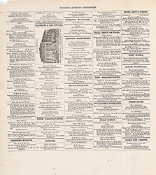 Business Notices
 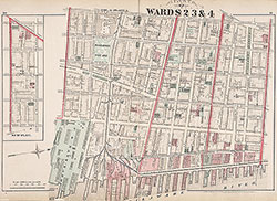 Plate A
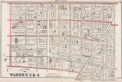 Plate B
 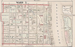 Plate C
 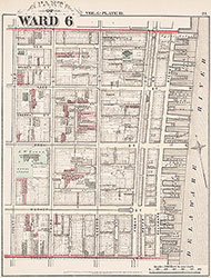 Plate D
 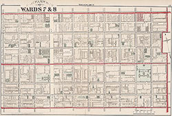 Plate E
 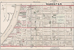 Plate F
 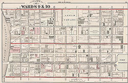 Plate G
 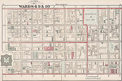 Plate H
 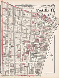 Plate I
 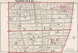 Plate J
 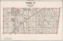 Plate K
 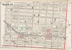 Plate L
 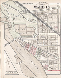 Plate M
  Plate N
 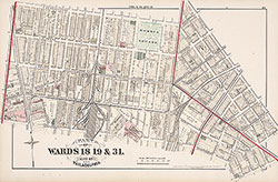 Plate O
 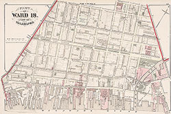 Plate P
 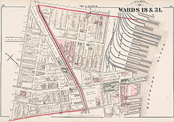 Plate Q
 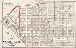 Plate R
 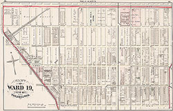 Plate S
 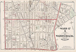 Plate T
 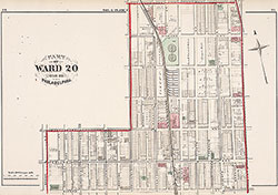 Plate U
 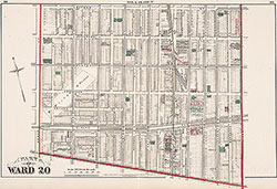 Plate V
 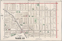 Plate W
 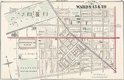 Plate X
 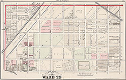 Plate Y
 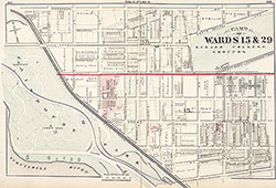 Plate Z
 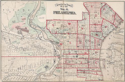 Index Map
 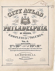 Title Page