City Atlas of Philadelphia, 1st, 26th and 30th Wards, 1876, Plate C
Maps 1876: G. M. Hopkins, City Atlas of Philadelphia, 1st, 26th and 30th Wards, Volume 5
Item Info
Item No: MGMHAK00007
Title: City Atlas of Philadelphia, 1st, 26th and 30th Wards, 1876, Plate C
Additional Title: City Atlas of Philadelphia, 1st, 26th and 30th Wards, 1876: Volume 5
Publication Year:
1876
Page: 7
Work Type: Property Atlases/Maps
Source: Map Collection
Notes:
Volume 5 of 7
Northside Orientation of Image: Right
Alternate Page Number: Plate C
City/Town/Township: Geographic Coverage City/Town/Township:Philadelphia
Creator Name: G.M. Hopkins, C.E. - Publisher
Subjects
- Boxes
- Harrison Boiler Works
- Philadelphia, Pennsylvania
- Wharton Railroad Switch Co.
- Boilers
- Glass industry
- Railroad switches
- Chemical plants
- Hospitals (charitable institution buildings)
- Asylums (welfare buildings)
- Naval hospitals
- Retirement homes
- Naval schools (buildings)
- Machine shops
- Rice, T.B. & Sons Box Factory
- Bower, Henry Chemical Works
- Wharton, William Machine Shop
- Union Chemical Works
- Fox, Henry Flint Glass Works
- Flint glass
- Carter & Scattergood Chemical Works
- Scattergood see Carter & Scattergood
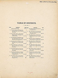 Table of Contents
 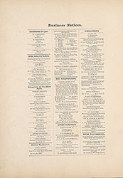 Business Notices
 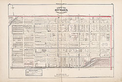 Plate A
 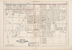 Plate B
 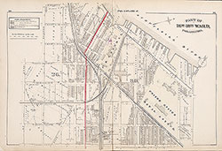 Plate C
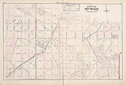 PLate D
 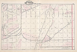 Plate E
 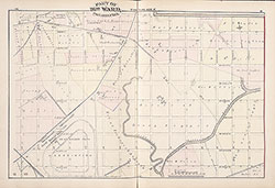 Plate F
 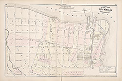 Plate G
 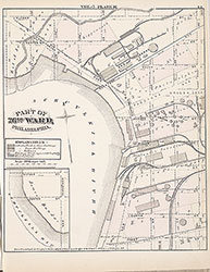 Plate H
 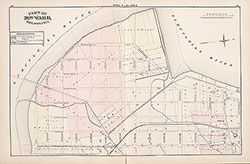 Plate I
 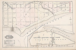 Plate J
 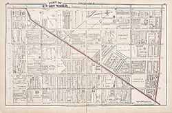 Plate K
 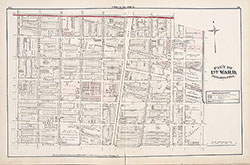 Plate L
 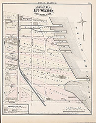 Plate M
 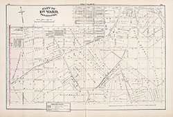 Plate N
 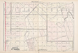 Plate O
  Plate P
  Plate Q
 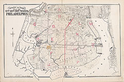 Index Map
  Title Page