Insurance Maps of the City of Philadelphia, 1913-1918, Plate 393
Maps 1913-1918: Hexamer, Insurance Maps of the City of Philadelphia, Volume 19
Item Info
Item No: MHIMAG00016
Title: Insurance Maps of the City of Philadelphia, 1913-1918, Plate 393
Additional Title: Insurance Maps of the City Of Philadelphia, Volume 19
Page:
14
Work Type: Property Atlases/Maps
Source: Map Collection
Northside Orientation of Image: Top Left
Alternate Page Number: Plate 393
City/Town/Township: Geographic Coverage City/Town/Township:Philadelphia
Creation Year (Single Year or Range Begin): 1918
Creator Name: Ernest Hexamer & Son - Publisher
Subjects
- Philadelphia, Pennsylvania
- Hosiery industry
- Motion picture theaters
- Textile mills
- New Dazzleland Amusement Parlor (motion picture theater)
- H.A. Romberger (hosiery mill)
- Pennsylvania Bottling Company
- J. Lomax (weaving)
- Wright Textile Co.
- National Hair Cloth Company
- Lehigh Hosiery Co.
- Allegheny Hosiery Co.
- Bottling plants
- Weaving sheds
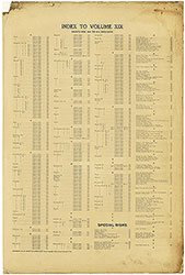 Street Index
 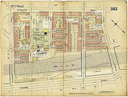 Plate 383
 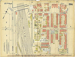 Plate 384
 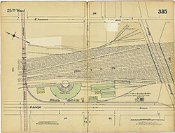 Plate 385
 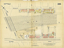 Plate 386
 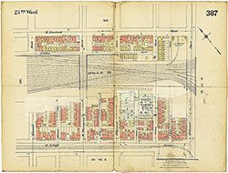 Plate 387
  Plate 388
 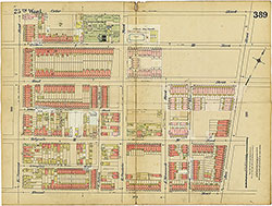 Plate 389
 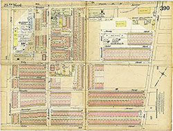 Plate 390
 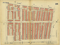 PLate 391
 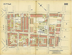 Plate 392
 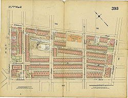 Plate 393
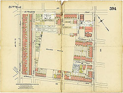 Plate 394
 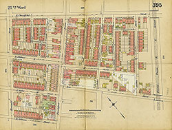 Plate 395
 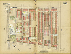 Plate 396
 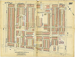 Plate 397
 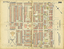 Plate 398
 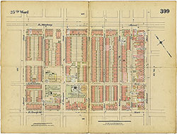 Plate 399
 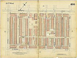 Plate 400
 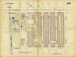 Plate 401
 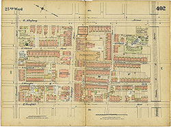 Plate 402
 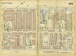 Plate 403
 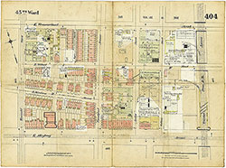 Plate 404
 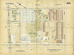 Plate 405
 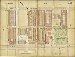 Plate 406
 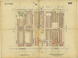 Plate 407
 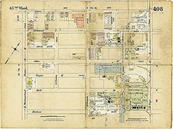 Plate 408
 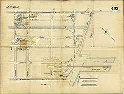 Plate 409
 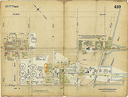 Plate 410
 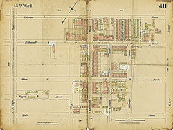 Plate 411
 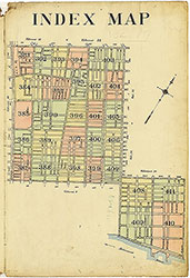 Map Index
 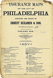 Title Page