Insurance Maps of the City of Philadelphia, 1915-1920, Plate 430
Maps 1915-1920: Hexamer, Insurance Maps of the City of Philadelphia, Volume 20
Item Info
Item No: MHIMAK00023
Title: Insurance Maps of the City of Philadelphia, 1915-1920, Plate 430
Additional Title: Insurance Maps of the City Of Philadelphia, 1915-1920, Volume 20
Page:
22
Work Type: Property Atlases/Maps
Source: Map Collection
Northside Orientation of Image: Top
Alternate Page Number: Plate 430
City/Town/Township: Geographic Coverage City/Town/Township:Philadelphia
Creation Year (Single Year or Range Begin): 1912
Creator Name: Ernest Hexamer & Son - Publisher
Subjects
- Barrels
- Oils and fats, Edible
- Philadelphia, Pennsylvania
- Petroleum industry
- Coopers
- Waste
- Sash windows
- Machine shops
- Kelly & Co. (barrels)
- Cooper, William E. Barrel Yard
- Paints & varnishes
- Universal Composition Co. (paints, varnishes, etc.)
- Miller Waste Co.
- Drew, E.F. Anglo India Produce Co.
- India Refining Co.
- Niles Bement Pond Co.
- Gulf Refining Co.
- O'Donnel Barrel Factory
- Brown, E.E. & Co. Sash Window Factory
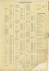 Street Index & Special Risks
 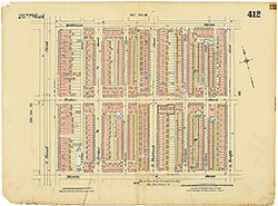 Plate 412
 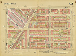 Plate 413
 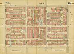 Plate 414
 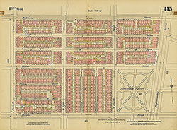 Plate 415
 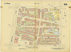 Plate 416
 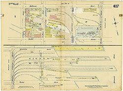 Plate 417
 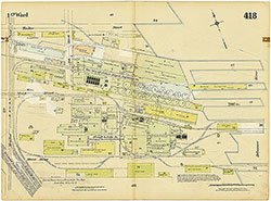 Plate 418
 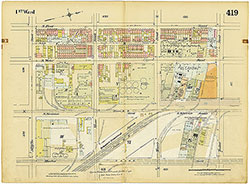 Plate 419
 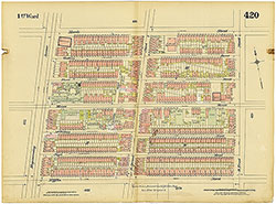 Plate 420
 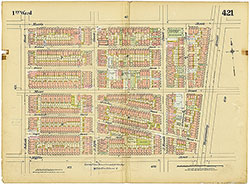 Plate 421
 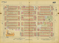 Plate 422
 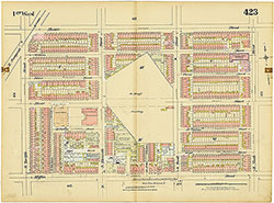 Plate423
 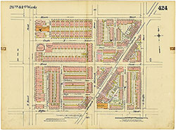 Plate 424
 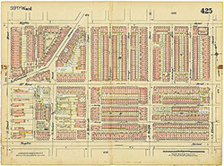 Plate 425
 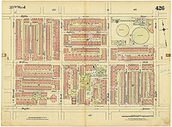 Plate 426
 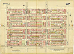 Olate 427
 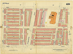 Plate 428
 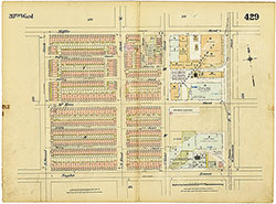 Plate 429
 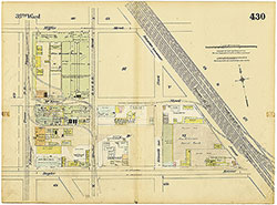 Plate 430
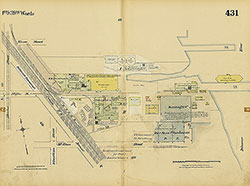 Plate 431
 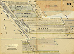 Plate 432
 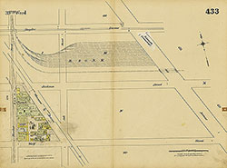 Plate 433
 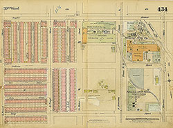 PLate 434
 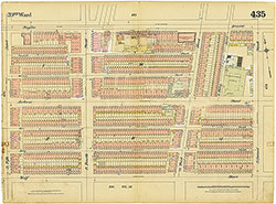 Plate 435
 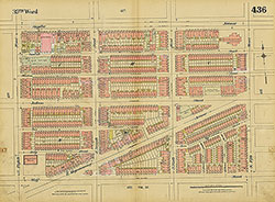 Plate 436
 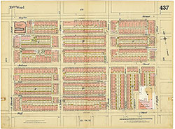 Plate 437
 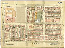 Plate 438
 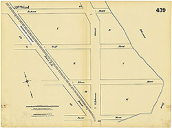 Plate 439
 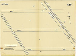 Plate 440
 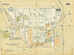 Plate 441
 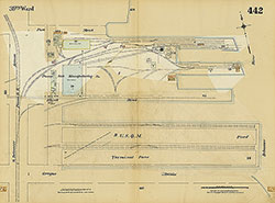 Plate 442
 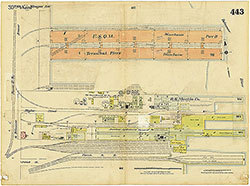 Plate 443
 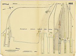 Plate 444
 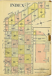 Map Index
 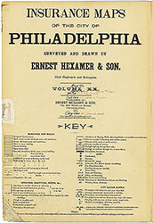 Title Page