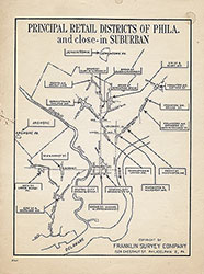
Principal Retail Districts of Phila. and Close-In Suburban, c.1950, Map
Maps
Item Info
Item No: MAP00000132
Title: Principal Retail Districts of Phila. and Close-In Suburban, c.1950, Map
Additional Title: Principal Retail Districts of Phila. and Close-In Suburban, c.1950
Publication Year:
ca. 1950
Page: 1
Work Type: General Maps
Source: Map Collection
Northside Orientation of Image: Top
Alternate Page Number: Map
City/Town/Township: Geographic Coverage State/Province:Pennsylvania
Geographic Coverage City/Town/Township:Philadelphia
Creator Name: Franklin Survey Company - Publisher
 Map
Map