Posts in “maps” (11)
Blog Articles
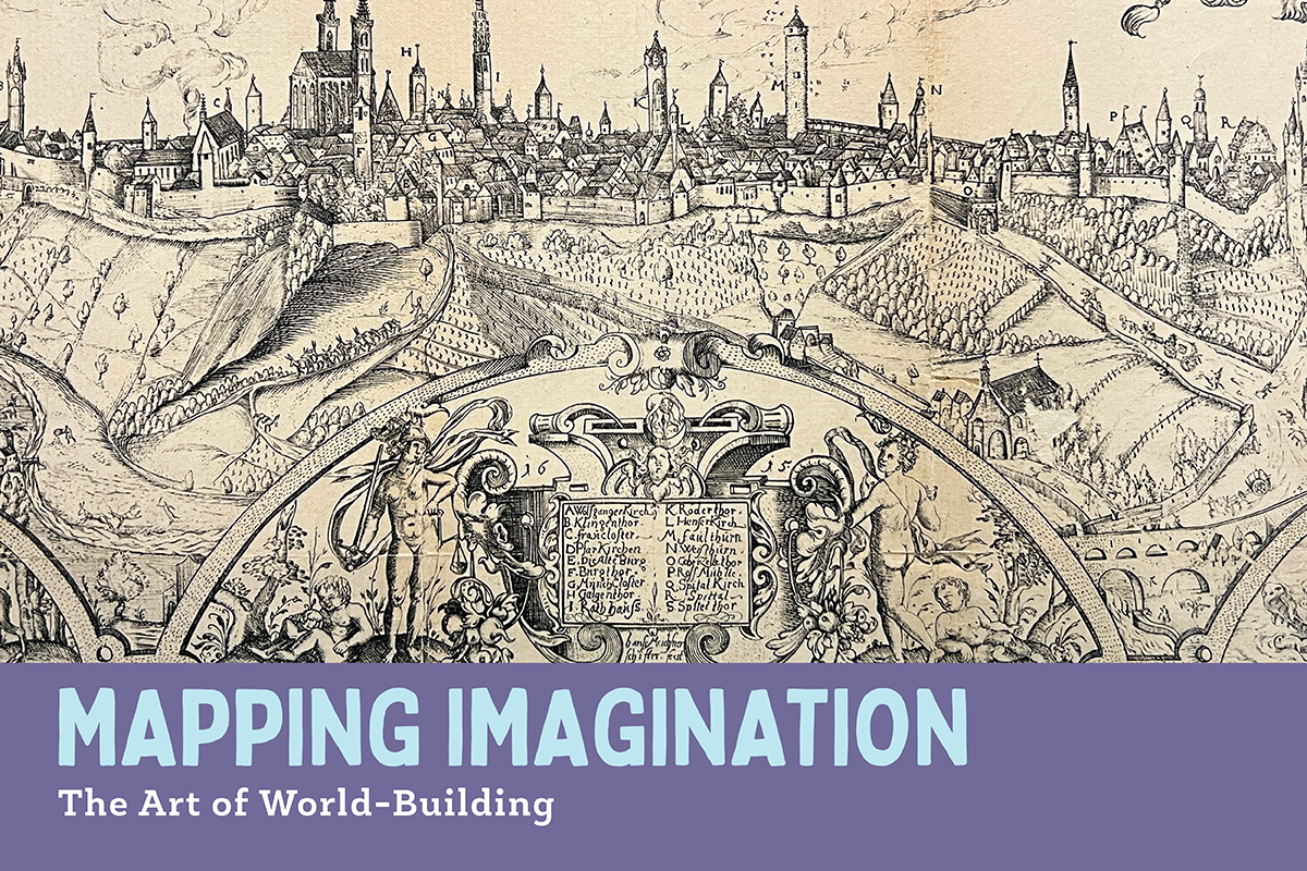
Mapping Imagination: The Art of World-Building opens Monday, March 6 on the Third Floor of Parkway Central Library and has been extended to run through August 31, 2023. Whether real or imaginary,… continue reading Mapping Imagination: The Art of World-Building
By written by Administrator March 6, 2023 6
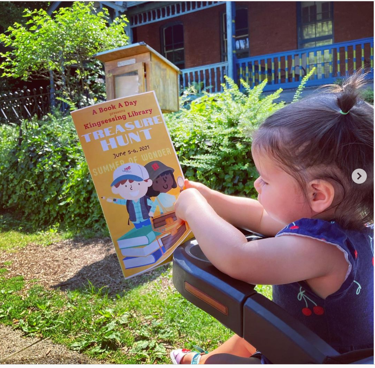
There’s treasure in your neighborhood if you know where to look! Southwest Philadelphia families are invited to hunt down treasure troves of books to kick-off Summer of Wonder in June.… continue reading Start Summer of Wonder with a Treasure Hunt
By written by Rachel R. May 25, 2022
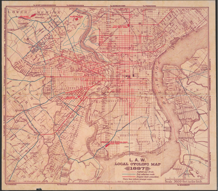
Happy National Bike Month ! Founded in 1956 by the League of American Bicyclists, National Bicycle Month is full of activities and initiatives to inspire people to take to the road on bikes rather… continue reading Bicycling Resources for National Bike Month
By written by Megan M. May 5, 2022
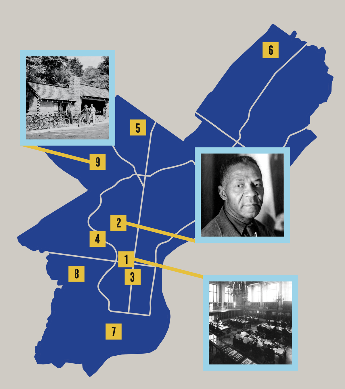
The New Deal, President Franklin D. Roosevelt’s political experiment to pull the United States out of the Great Depression, created programs for relief for the unemployed and economic… continue reading Explore the New Deal’s Legacy Across Philadelphia
By written by Laura S. October 5, 2021
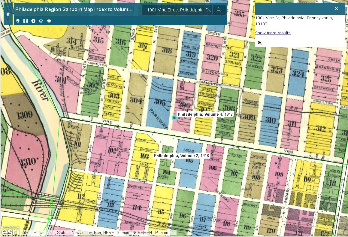
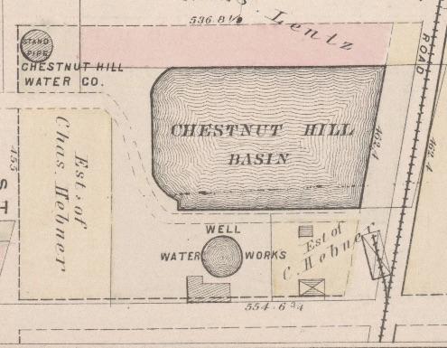
Sanborn fire insurance maps are available once again through ProQuest’s updated and newly-released database, Sanborn Maps 1867-1970 (formerly known as Sanborn Maps Geo Edition 1867-1970).… continue reading New Release of the ProQuest Sanborn Maps Database
By written by Megan M. January 21, 2021 4

As COVID-19 cases surge in our city, Philadelphia health officials have announced a new Safer at Home plan, which aims to limit the spread of this virus through this difficult period. Vaccines for… continue reading Using the City's Online Maps to Find Free Food Distribution and COVID-19 Testing Sites
By written by Michael R. November 19, 2020
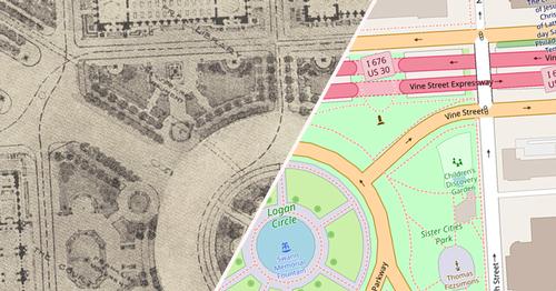
With current stay-at-home orders and social distancing precautions in place, I find myself more eager to spend time outside and walk (or jog if I’m feeling really motivated) around the… continue reading Explore Your Neighborhood Virtually with Digital Collections
By written by Megan M. May 18, 2020
The Free Library of Philadelphia is home to a myriad of Special Collections . Since mid-March, we have been closed due to the COVID-19 pandemic. This means that those of us who work with the… continue reading #SpecialCollectionsAtHome
By written by Megan M. April 27, 2020
At 54 neighborhood libraries and the Rosenbach , Free Library volunteers embody the institution's vision of "an enlightened community devoted to lifelong learning" every day.… continue reading Free Library Tour Guides Use Map Collection to Celebrate This Year's Volunteer Appreciation Day!
By written by Andrew W. April 20, 2020

Do you remember that scene at the beginning of Tangled where Rapunzel completes a day's worth of tasks before breakfast? Yeah, that's a lot less funny now. But if the school… continue reading #ColorOurCollections: Creating Art with the Free Library's Digital Archive
By written by Chris B. April 8, 2020 4
October 10 marks the opening of an exhibition that analyzes Philadelphia's growth across more than three centuries, presenting more than 80 rare and revelatory prints, photographs,… continue reading Philadelphia: The Changing City - An Exhibition from Special Collections
By written by Janine P. October 9, 2018