Map Collection
Our map collection enables you to see how Philadelphia's neighborhoods and streets have grown and changed. Use our interactive mapping tool to overlay atlases dating back as far as 1843 over today's street layout.
Showing 1541 to 1560 of 5,151
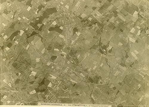
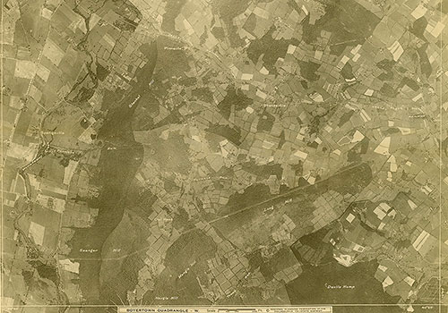
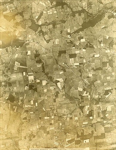
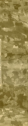
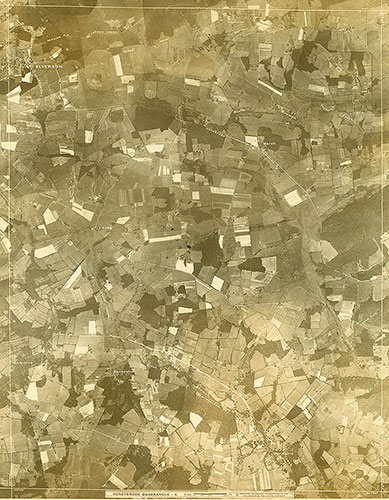
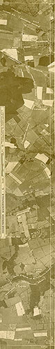
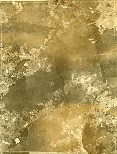
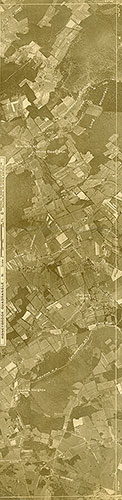
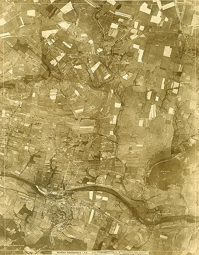
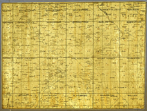
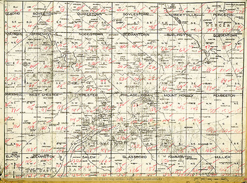
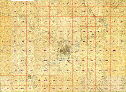
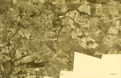
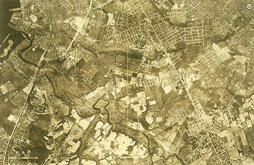
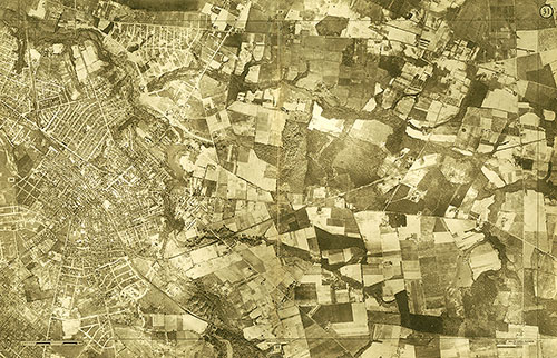
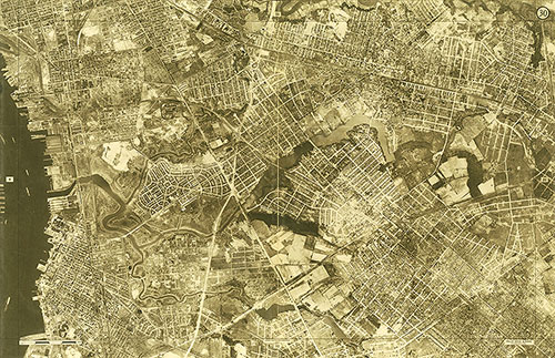
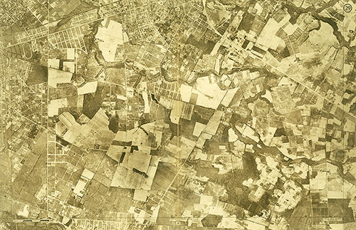
[Aerial Survey of the Philadelphia Region], Overview Index 2
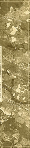
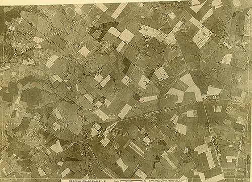
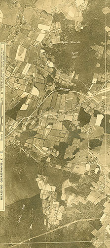
1928: Aerial Survey of the Philadelphia Region