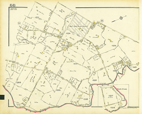
Map Collection
Our map collection enables you to see how Philadelphia's neighborhoods and streets have grown and changed. Use our interactive mapping tool to overlay atlases dating back as far as 1843 over today's street layout.
Showing 1601 to 1620 of 5,151
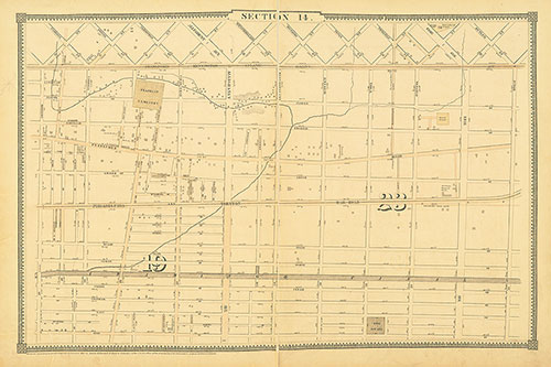
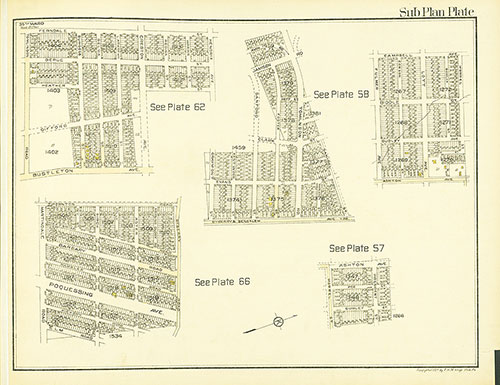
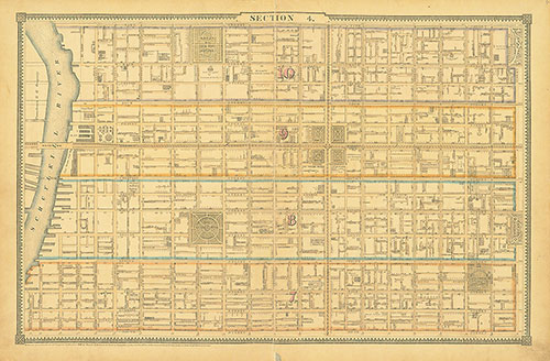
Atlas of the City of Philadelphia, 1862, Section 14
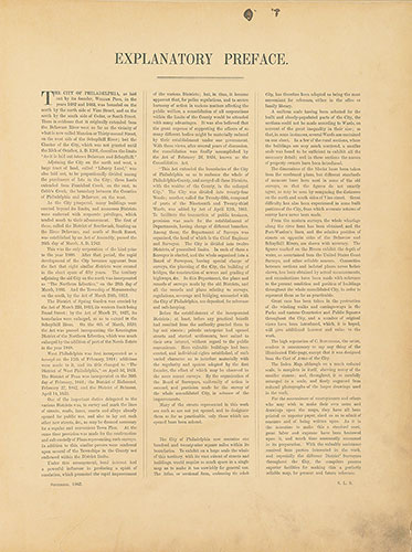
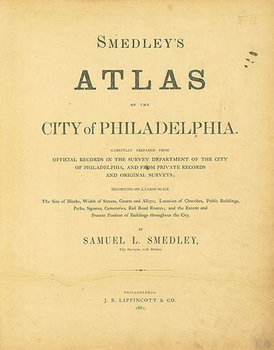
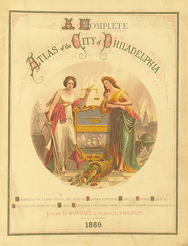
1862: Smedley, Atlas of the City of Philadelphia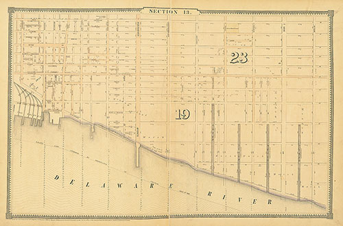
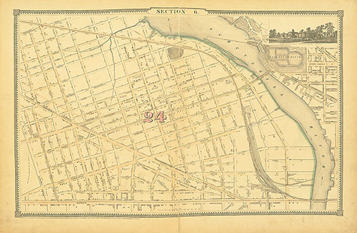
Atlas of the City of Philadelphia, 1862, Section 13
1862: Smedley, Atlas of the City of Philadelphia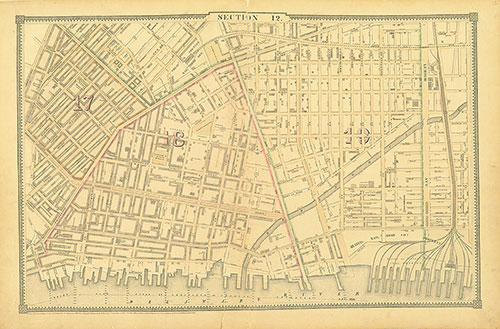
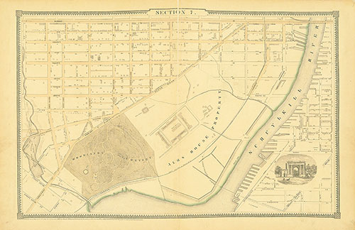
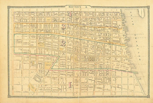
Atlas of the City of Philadelphia, 1862, Section 12
1862: Smedley, Atlas of the City of Philadelphia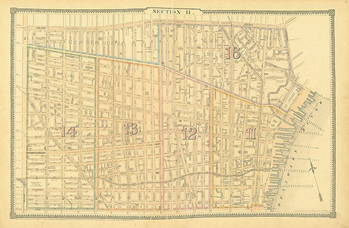
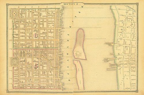
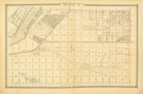
Atlas of the City of Philadelphia, 1862, Section 11
1862: Smedley, Atlas of the City of Philadelphia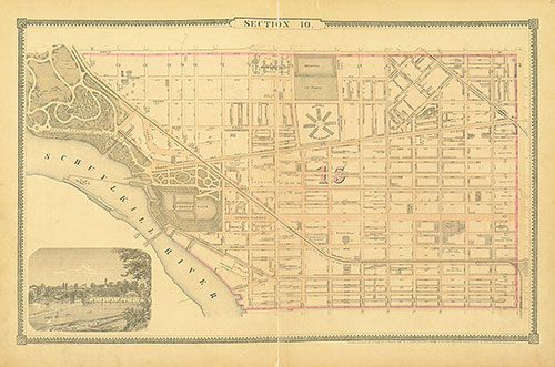
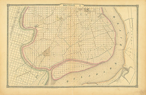
Atlas of the City of Philadelphia, 1862, Section 10
1862: Smedley, Atlas of the City of Philadelphia
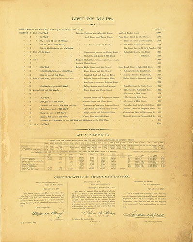
Atlas of the City of Philadelphia, 1862, List of Maps
1862: Smedley, Atlas of the City of Philadelphia