Baist's Map Showing the Development of the City and Suburbs of Philadelphia, 1897, Plate 5
Maps 1897: Baist, Map of the City and Suburbs of Philadelphia
Item Info
Item No: MBSTAA00005
Title: Baist's Map Showing the Development of the City and Suburbs of Philadelphia, 1897, Plate 5
Additional Title: Baist's Map Showing the Development of the City and Suburbs of Philadelphia, 1897
Publication Year:
1897
Page: 5
Work Type: Property Atlases/Maps
Source: Map Collection
Northside Orientation of Image: Top
Alternate Page Number: Plate 5
City/Town/Township: Geographic Coverage State/Province:Pennsylvania
Geographic Coverage City/Town/Township:Philadelphia
Creator Name: Baist, G. Wm. - Publisher
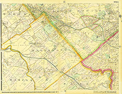 Plate 3
 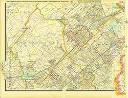 Plate 4
 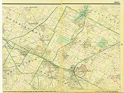 Plate 5
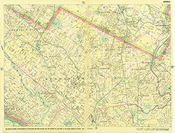 Plate 6
 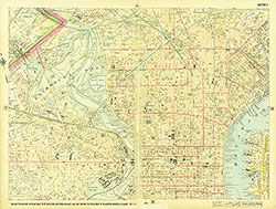 Plate 7
  Plate 8
  Plate 9
  Plate 10
 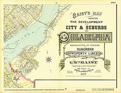 Plate 11
 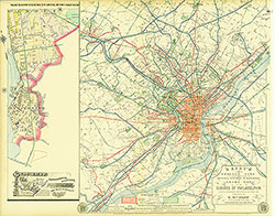 Plate 12
 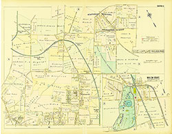 Plate A
 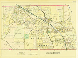 Plate B
 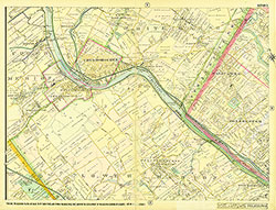 Plate 2
 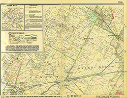 Plate 1 (with Index)