Atlas of the 35th Ward, Philadelphia, Plate 14
Maps 1927: Klinge, Atlas of the 35th Ward, Philadelphia
Item Info
Item No: MKLGAA00010A
Title: Atlas of the 35th Ward, Philadelphia, Plate 14
Additional Title: Atlas of the 35th Ward, Philadelphia
Publication Year:
1927
Page: 17
Work Type: Property Atlases/Maps
Source: Map Collection
Northside Orientation of Image: Top Right
Alternate Page Number: Plate 14
City/Town/Township: Geographic Coverage Ward:35th Ward
Geographic Coverage State/Province:Pennsylvania
Geographic Coverage City/Town/Township:Philadelphia
Creator Name: Frank H. M. Klinge, Engineers and Publishers
 Map Index
 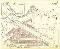 Plate 1
 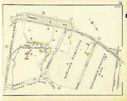 Plate 3
 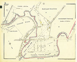 Plate 2
 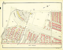 Plate 4
 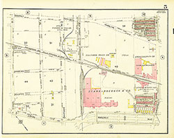 Plate 5
 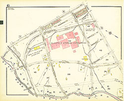 Plate 6
 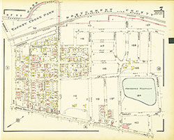 Plate 7
  Plate 8
  Plate 9
  Plate 10
  Plate 11
 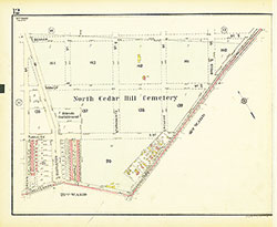 Plate 12
 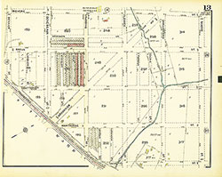 Plate 13
 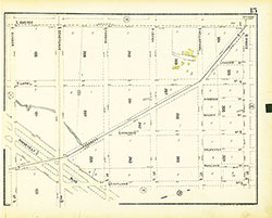 Plate 15
 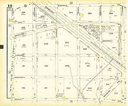 Plate 14
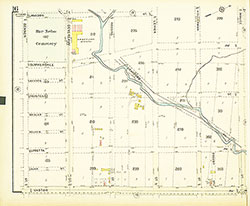 Plate 16
 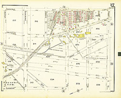 Plate 17
 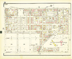 Plate 18
  Plate 19
 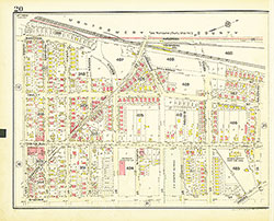 Plate 20
 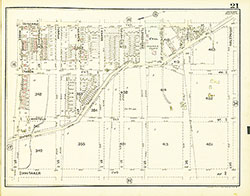 Plate 21
 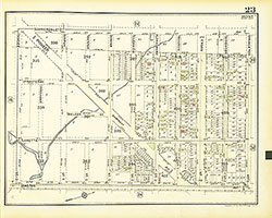 Plate 23
 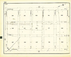 Plate 22
 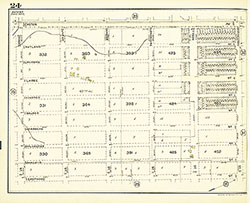 Plate 24
 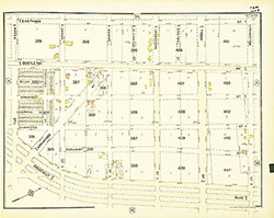 Plate 25
 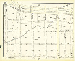 Plate 26
 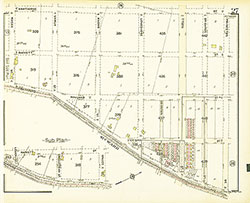 Plate 27
 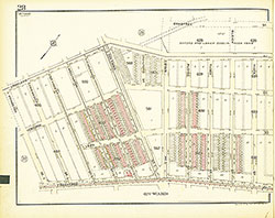 Plate 28
 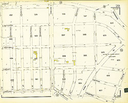 Plate 29
  Plate 31
  Plate 30
  Plate 32
 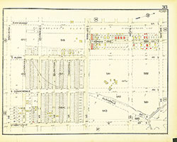 Plate 33
 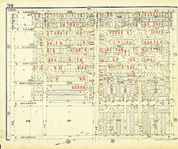 Plate 34
 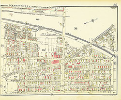 Plate 35
 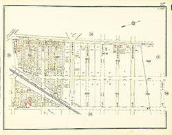 Plate 37
 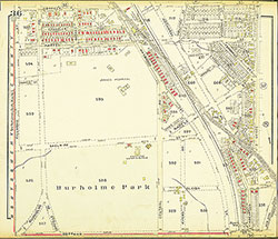 Plate 36
 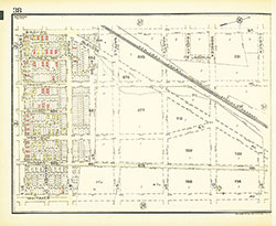 Plate 38
 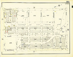 Plate 39
 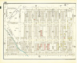 Plate 40
 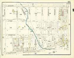 Plate 41
 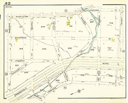 Plate 42
  Plate 43
 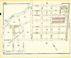 Plate 44
 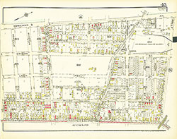 Plate 45
 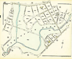 Plate 46
 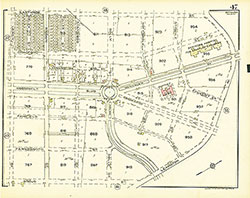 Plate 47
 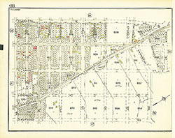 Plate 48
 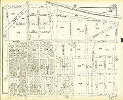 Plate 49
 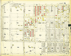 Plate 51
 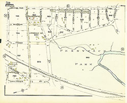 Plate 50
  Plate 52
  Plate 53
 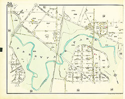 Plate 54
  Plate 55
  Plate 56
  Plate 57
 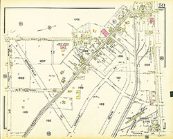 Plate 59
 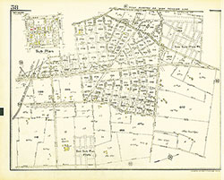 Plate 58
 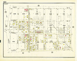 Plate 60
 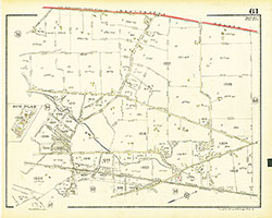 Plate 61
 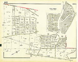 Plate 62
 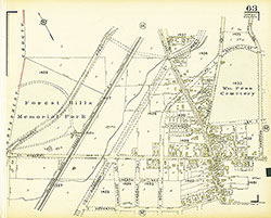 Plate 63
 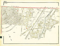 Plate 64
 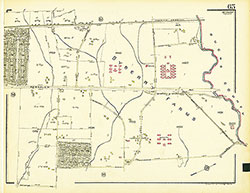 Plate 65
 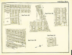 Sub Plan
 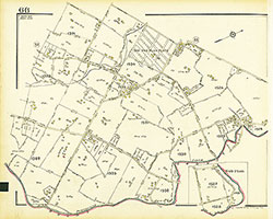 Plate 66
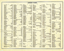
 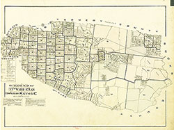 Street Index
 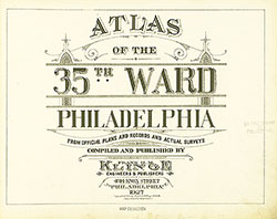 Title Page