Aerial Survey of Philadelphia, PA, Plate 4
Maps 1930 (ca): Dallin, Aerial Survey of Philadelphia, PA
Item Info
Item No: MDALAA00005
Title: Aerial Survey of Philadelphia, PA, Plate 4
Additional Title: Aerial Survey of Philadelphia, PA
Publication Year:
1930
Page: 5
Work Type: Aerial Photographs
Source: Map Collection
Notes:
According to the Pennsylvania Division of Corporations database, accessed on March 7, 2019 via website, Dallin Aerial Surveys Company is a fictitious business name.
Northside Orientation of Image: Top
Alternate Page Number: Plate 4
City/Town/Township: Geographic Coverage State/Province:Pennsylvania
Geographic Coverage City/Town/Township:Philadelphia
Creator Name: Dallin Aerial Surveys. - Surveyor
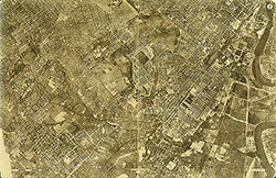 Plate 2
 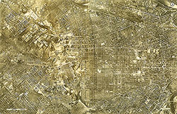 Plate 3
 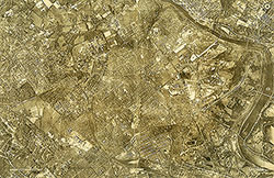 Plate 4
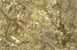 Plate 5
 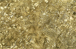 Plate 6
 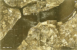 Plate 7
 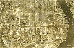 Plate 8
 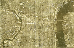 Plate 9
 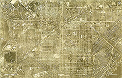 Plate 10
 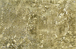 Plate 11
 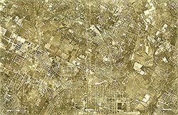 Plate 12
 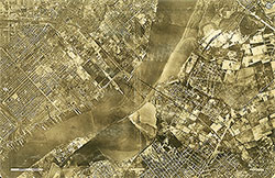 Plate 13
 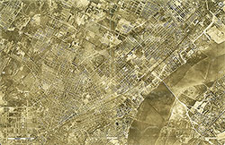 Plate 14
 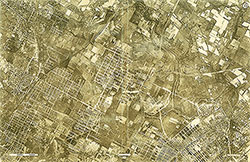 Plate 15
 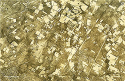 Plate 16
 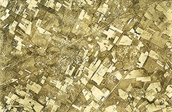 Plate 17
 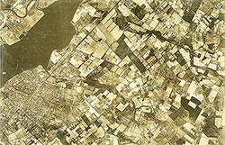 Plate 18
 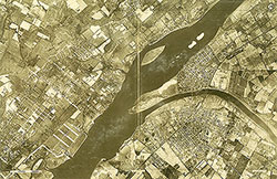 Plate 19
 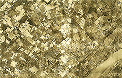 Plate 20
 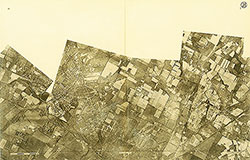 Plate 21
 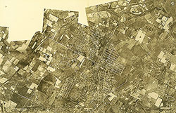 Plate 22
 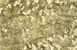 Plate 23
 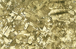 Plate 24
 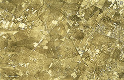 Plate 25
 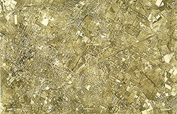 Plate 26
 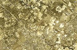 Plate 27
 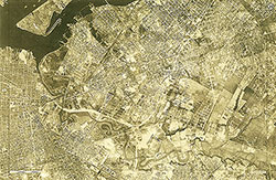 Plate 28
 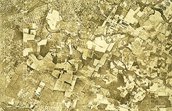 Plate 29
 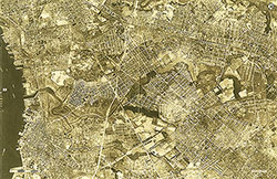 Plate 30
 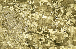 Plate 31
  Plate 32
  Plate 33
 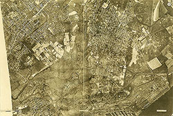 Plate 1
 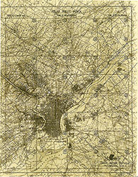 Index
Index