Maps of the City of Philadelphia, 1858-1860, Plate 40
Maps 1858: Hexamer & Locher, Maps of the City of Philadelphia: Volume 3
Item Info
Item No: MHXLAD00013
Title: Maps of the City of Philadelphia, 1858-1860, Plate 40
Additional Title: Maps of the City of Philadelphia, 1858-1860: Volume 3
Publication Year:
1858
Page: 13
Work Type: Property Atlases/Maps
Source: Map Collection
Notes:
House of the Good Shepherd: east side 22nd Street between George and Walnut Streets
Northside Orientation of Image: Right
Alternate Page Number: Plate 40
City/Town/Township: Geographic Coverage State/Province:Pennsylvania
Geographic Coverage City/Town/Township:Philadelphia
Creator Name: Hexamer & Locher
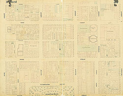 Plate 30
 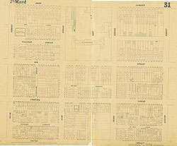 Plate 31
 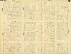 Plate 32
 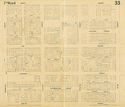 Plate 33
 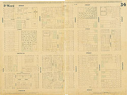 Plate 34
 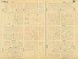 Plate 35
 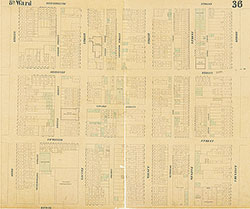 Plate 36
 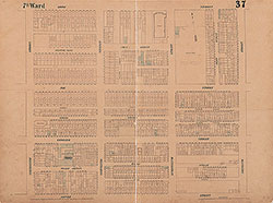 Plate 37
 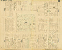 Plate 38
 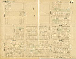 Plate 39
 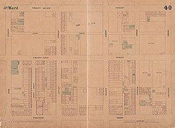 Plate 40
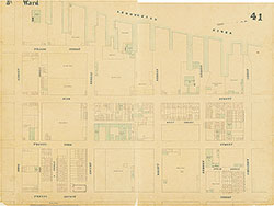 Plate 41
 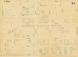 Plate 42
 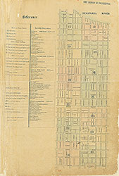 Index (v. 3)
 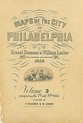 Title Page