Maps of the City of Philadelphia, 1858-1860, Plate 28
Maps 1860: Hexamer & Locher, Maps of the City of Philadelphia: Volume 2
Item Info
Item No: MHXLBC00017
Title: Maps of the City of Philadelphia, 1858-1860, Plate 28
Additional Title: Maps of the City of Philadelphia, 1858-1860: Volume 2
Publication Year:
1860
Page: 17
Work Type: Property Atlases/Maps
Source: Map Collection
Notes:
Farmers Western Market: northwest corner 21st and Market Streets
Girard Tube Works: north side Filbert Street above 23rd Street
Philadelphia Gas Works: Filbert Street to Market Street between 22nd Street and Schuylkill River
Northside Orientation of Image: Right
Alternate Page Number: Plate 28
City/Town/Township: Geographic Coverage State/Province:Pennsylvania
Geographic Coverage City/Town/Township:Philadelphia
Creator Name: Hexamer & Locher
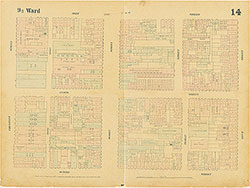 Plate 14
 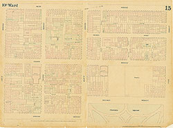 Plate 15
 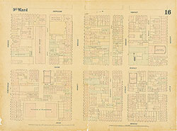 Plate 16
 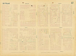 Plate 17
 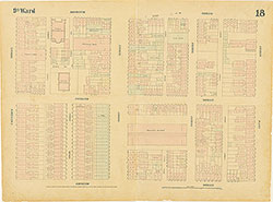 Plate 18
 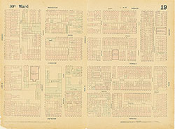 Plate 19
 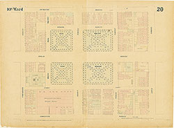 Plate 20
 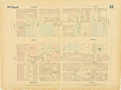 Plate 21
 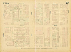 Plate 22
 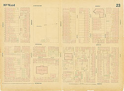 Plate 23
 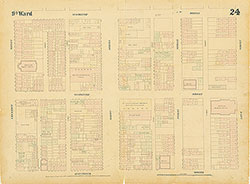 Plate 24
 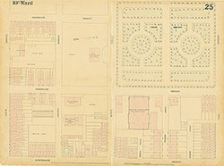 Plate 25
 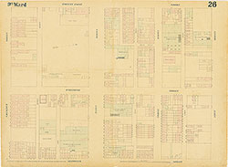 Plate 26
 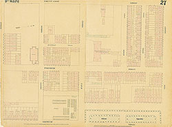 Plate 27
 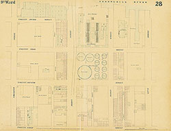 Plate 28
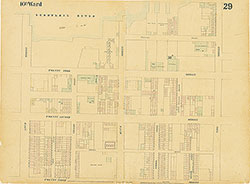 Plate 29
 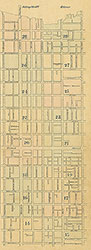 Index (v. 2)
 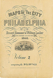 Title
Title