
Item Info
Item No: MLUMAA00031
Title: Philadelphia Land Use Map, 1942, Plate 4A-3
Additional Title: Philadelphia Land Use Map, 1942: Land-Use Zoning Project No. 18313
Publication Year:
1942
Page: 31
Work Type: Land Use / Zoning Maps
Source: Map Collection
Alternate Page Number: Plate 4A-3
City/Town/Township: Geographic Coverage State/Province: Pennsylvania
Geographic Coverage City/Town/Township:Philadelphia
Creator Name: Plans & Registry Division, Bureau of Engineering Surveys & Zoning, Department of Public Works, Federal Works Progress Administration for Pennsylvania
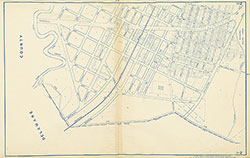 Plate 1-2
 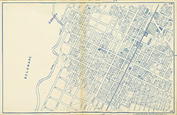 Plate 1-4
 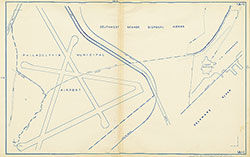 Plate 1A-1
 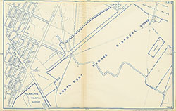 Plate 1A-3
 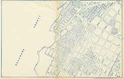 Plate 2-2
 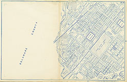 Plate 2-4
 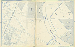 Plate 2A-1
 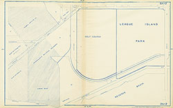 Plate 2A-2
 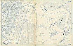 Plate 2A-3
 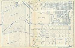 Plate 2A-4
 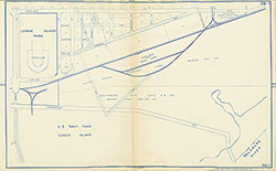 Plate 2B-1
 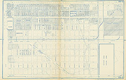 Plate 2B-3
 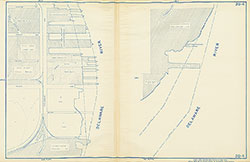 Plate 2B-4
 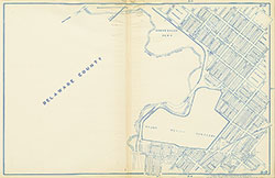 Plate 3-2
 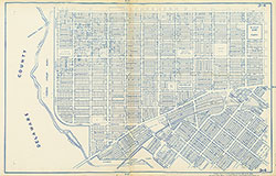 Plate 3-4
 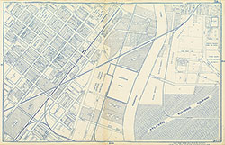 Plate 3A-1
 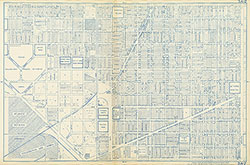 Plate 3A-2
 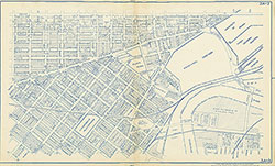 Plate 3A-3
 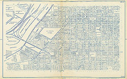 Plate 3A-4
 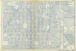 Plate 3B-1
 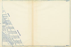 Plate 3B-2
 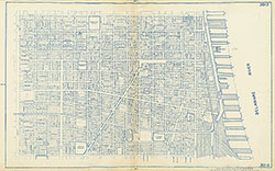 Plate 3B-3
 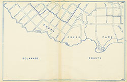 Plate 4-1
 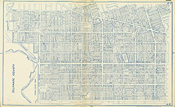 Plate 4-2
 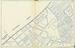 Plate 4-3
 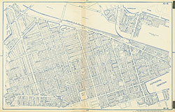 Plate 4-4
 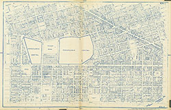 Plate 4A-1
 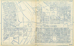 Plate 4A-2
 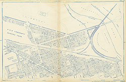 Plate 4A-3
 Plate 4A-4
  Plate 4B-1
  Plate 4B-3
 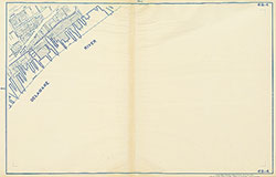 Plate 4B-4
 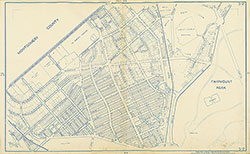 Plate 5-2
 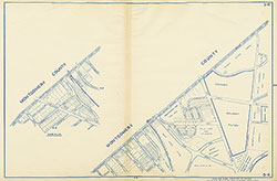 Plate 5-4
 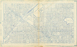 Plate 5A-2
 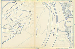 Plate 5A-3
 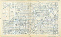 Plate 5A-4
 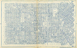 Plate 5B-1
 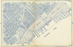 Plate 5B-2
 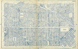 Plate 5B-3
 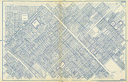 Plate 5B-4
 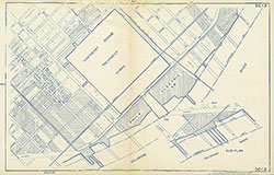 Plate 5C-3
 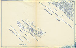 Plate 6-2
 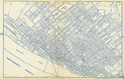 Plate 6-4
 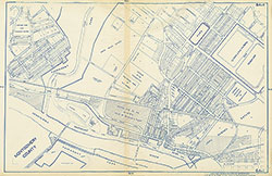 Plate 6A-1
 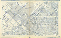 Plate 6A-2
 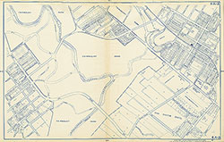 Plate 6A-3
 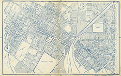 Plate 6A-4
 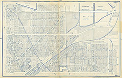 Plate 6B-1
 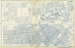 Plate 6B-2
 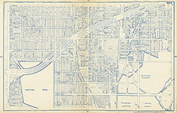 Plate 6B-3
 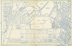 Plate 6B-4
 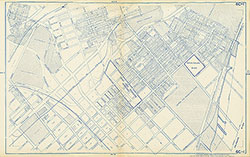 Plate 6C-1
 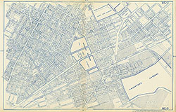 Plate 6C-3
 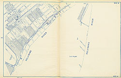 Plate 6C-4
 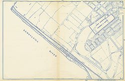 Plate 7-1
 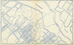 Plate 7-2
 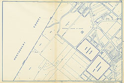 Plate 7-3
 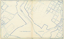 Plate 7-4
 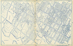 Plate 7A-1
 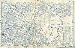 Plate 7A-2
 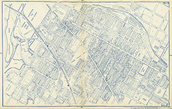 Plate 7A-3
 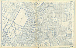 Plate 7A-4
 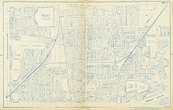 Plate 7B-1
  Plate 7B-2
  Plate 7B-3
  Plate 7B-4
 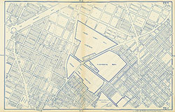 Plate 7C-1
 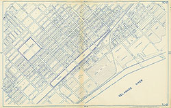 Plate 7C-2
 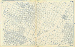 Plate 7C-3
 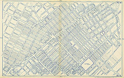 Plate 7C-4
 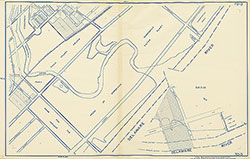 Plate 7D-3
 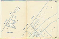 Plate 8-1
 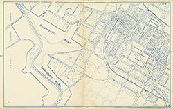 Plate 8-2
 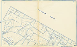 Plate 8-4
 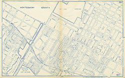 Plate 8A-1
 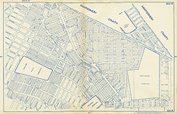 Plate 8A-2
 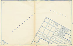 Plate 8A-3
 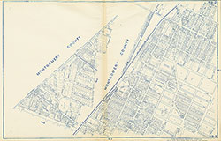 Plate 8B-2
 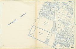 Plate 8B-4
 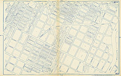 Plate 8C-1
 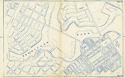 Plate 8C-2
 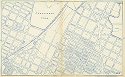 Plate 8C-3
 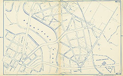 Plate 8C-4
 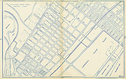 Plate 8D-1
 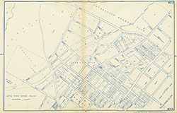 Plate 8D-3
 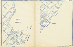 Plate 8D-4
 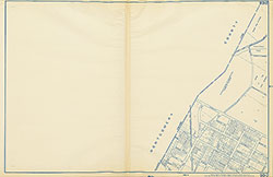 Plate 9B-2
 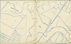 Plate 9C-1
 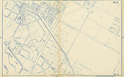 Plate 9C-2
 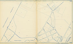 Plate 9C-3
 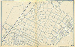 Plate 9C-4
 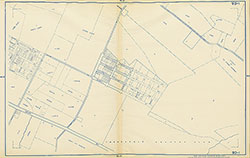 Plate 9D-1
 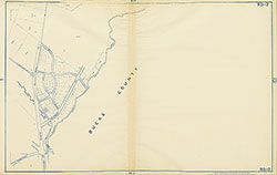 Plate 9D-2
 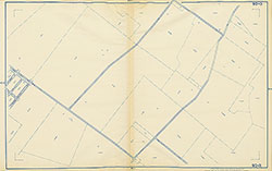 Plate 9D-3
 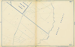 Plate 9D-4
  Plate 10C-1
  Plate 10C-2
  Plate 10C-4
 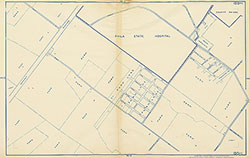 Plate 10D-1
 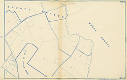 Plate 10D-2
 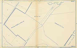 Plate 10D-3
 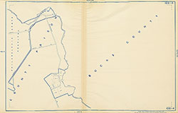 Plate 10D-4
 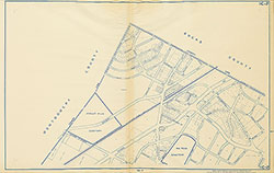 Plate 11C-2
 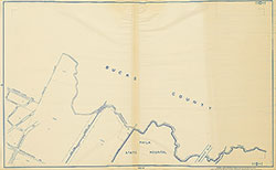 Plate 11D-1
 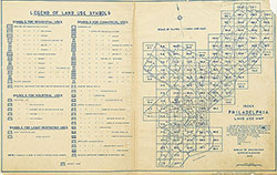 Map Index and Legend
 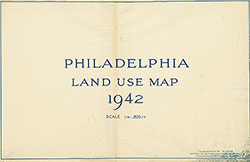 Title Page