Atlas of the City of Philadelphia, 42nd Ward, Plate 16
Maps 1913: Bromley, Atlas of the City of Philadelphia, 42nd Ward
Item Info
Item No: MBRMAH00020
Title: Atlas of the City of Philadelphia, 42nd Ward, Plate 16
Additional Title: Atlas of the City of Philadelphia, 42nd Ward
Publication Year:
1913
Page: 20
Work Type: Property Atlases/Maps
Source: Map Collection
Northside Orientation of Image: Top
Alternate Page Number: Plate 16
City/Town/Township: Geographic Coverage Ward:42nd Ward
Geographic Coverage State/Province:Pennsylvania
Geographic Coverage City/Town/Township:Philadelphia
Creator Name: G. W. Bromley and Co. - Publisher
Geo. W. and Walter S. Bromley, Civil Engineers
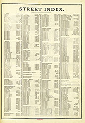 Street Index
  Cover
Cover 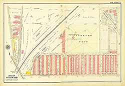 Plate 1
 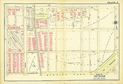 Plate 2
 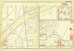 Plate 3
 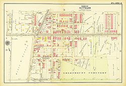 Plate 4
 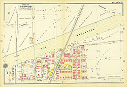 Plate 5
 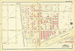 Plate 6
 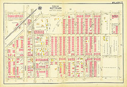 Plate 7
 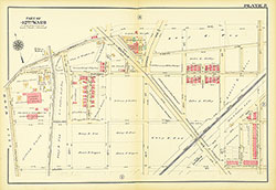 Plate 8
 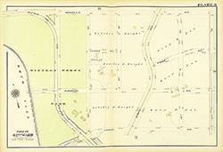 Plate 9
 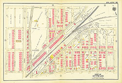 Plate 10
 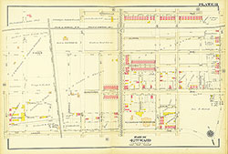 Plate 11
 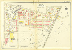 Plate 12
 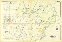 Plate 13
 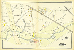 Plate 14
 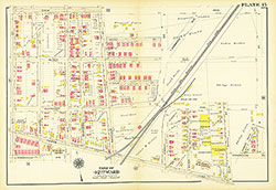 Plate 15
 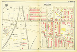 Plate 16
 Plate 17
  Plate 18
 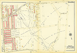 Plate 19
 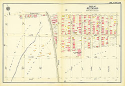 Plate 20
 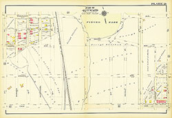 Plate 21
 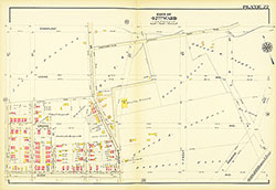 Plate 22
 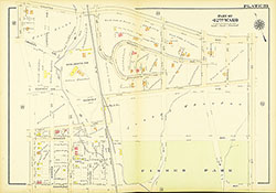 Plate 23
 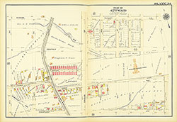 Plate 24
 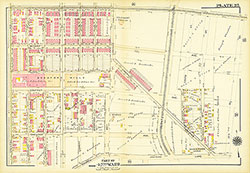 Plate 25
 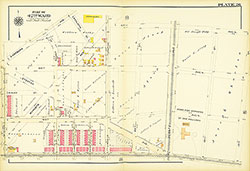 Plate 26
 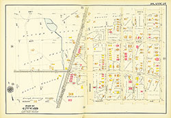 Plate 27
 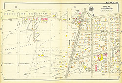 Plate 28
 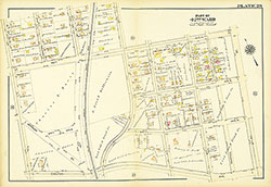 Plate 29
 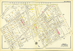 Plate 30
 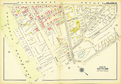 Plate 31
 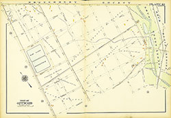 Plate 32
 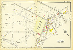 Plate 33
 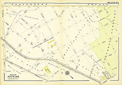 Plate 34
 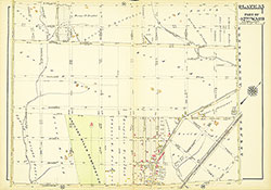 Plate 35
  Plate 36
 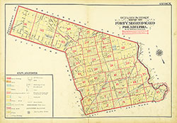 Map Index
 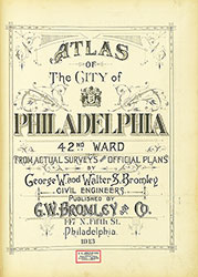 Title Page