Insurance Maps of the City of Philadelphia, 1908-1920, Street Index
Maps 1908-1920: Hexamer, Insurance Maps of the City of Philadelphia, Volume 3 Revised
Item Info
Item No: MHIMAF00002
Title: Insurance Maps of the City of Philadelphia, 1908-1920, Street Index
Additional Title: Insurance Maps of the City of Philadelphia, 1908-1920: Volume 3 Revised
Publication Year:
1920
Page: 3
Work Type: Property Atlases/Maps
Source: Map Collection
Alternate Page Number: Street Index
City/Town/Township: Geographic Coverage Ward:8th ward
Geographic Coverage State/Province:Pennsylvania
Geographic Coverage City/Town/Township:Philadelphia
Geographic Coverage Neighborhood:Center City
Geographic Coverage Region/County:Philadelphia
Creation Year (Single Year or Range Begin): 1920
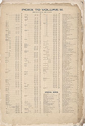 Street Index
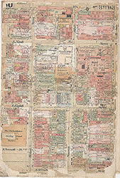 Plate 30
 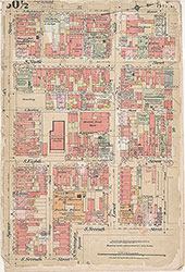 30 1/2
 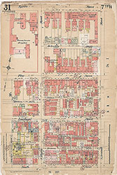 Plate 31
 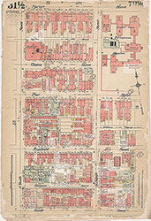 Plate 31 1/2
 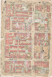 Plate 32
 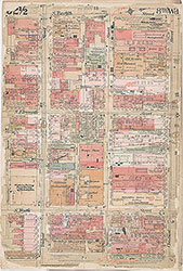 Plate 32 1/2
 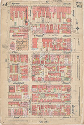 Plate 33
 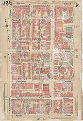 Plate 33 1/2
 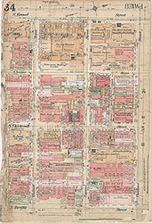 Plate 34
 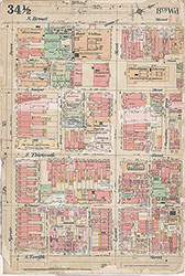 Plate 34 1/2
 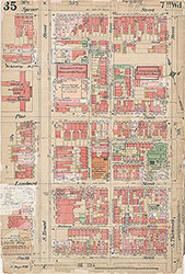 Plate 35
 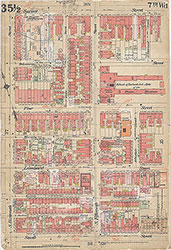 Plate 35 1/2
 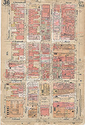 Plate 36
 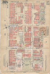 Plate 36 1/2
 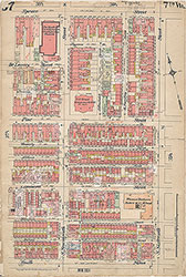 Plate 37
 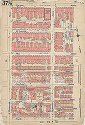 37 1/2
 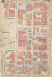 Plate 38
 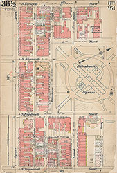 Plate 38 1/2
 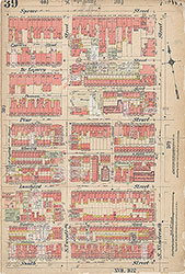 Plate 39
 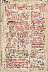 Plate 39 1/2
 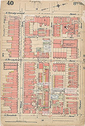 Plate 40
 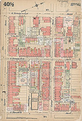 Plate 40 1/2
 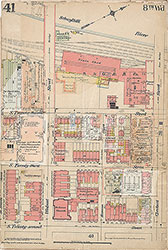 Plate 41
 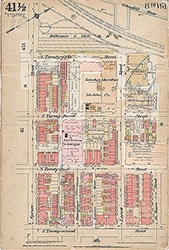 Plate 41 1/2
 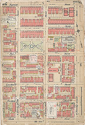 42
42 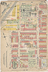 Plate 42 1/2
 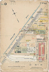 Plate D
 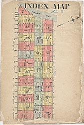 Map Index
 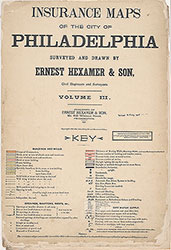 Title Page and Key