Atlas of Germantown, 22nd Ward, 1871, Plate 2
Maps 1871: G. M. Hopkins, Atlas of Germantown, 22nd Ward
Item Info
Item No: MGMHAM00005
Title: Atlas of Germantown, 22nd Ward, 1871, Plate 2
Additional Title: Atlas of Germantown, 22nd Ward, 1871
Publication Year:
1871
Page: 5
Work Type: Property Atlases/Maps
Source: Map Collection
Notes:
Coates, Benjamin Hosiery Mill: north side Church Street east of Musgrove Street
Germantown Hotel: northwest corner Germantown Avenue & Carpenter Street
Germantown Nurseries: east side Germantown Avenue above Pleasant Street
Germantown Passenger Railway Depot: east side Germantown Avenue above Church Street
Randall, Thomas & Joseph Woolen Mill: north side Sharpnack Street east of Germantown Ave.
Wissahickon Carpet Factory: north side Carpenter Street between Jefferson & McCallum Sts.
Northside Orientation of Image: Top Right
Alternate Page Number: Plate 2
City/Town/Township: Geographic Coverage City/Town/Township:Philadelphia
Geographic Coverage Neighborhood:Germantown
Creator Name: G.M. Hopkins, C.E. - Publisher
Subjects
- Carpets
- Philadelphia, Pennsylvania
- Street railroads
- Hotels
- Germantown
- Textile mills
- Horse railroads
- Nurseries (horticulture)
- Coates, Benjamin Hosiery Mill
- Randall, Thomas and Joseph Woolen Mill
- Germantown Passenger Railway Company Depot
- Germantown Nurseries
- Germantown Hotel
- Wissahickon Carpet Factory
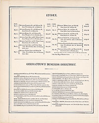 Table of Contents & Business Directory
 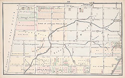 Plate 1
 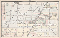 Plate 2
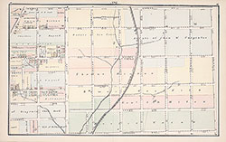 Plate 3
 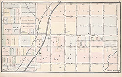 Plate 4
 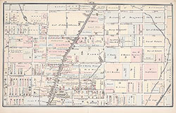 Plate 5
 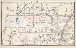 Plate 6
 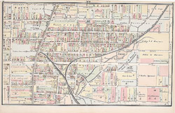 Plate 7
 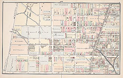 Plate 8
 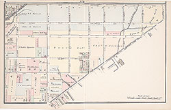 Plate 9
 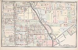 Plate 10
 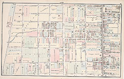 Plate 11
 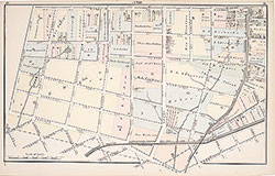 Plate 12
 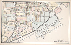 Plate 13
 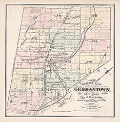 Map Index
 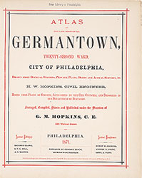 Title Page