Atlas of Philadelphia, 6th, 9th and 10th Wards, 1875, Plate 13
Maps 1875: G. H. Jones, Atlas of Philadelphia, 6th, 9th and 10th Wards
Item Info
Item No: MGHJAC00016
Title: Atlas of Philadelphia, 6th, 9th and 10th Wards, 1875, Plate 13
Additional Title: Atlas of Philadelphia, 6th, 9th and 10th Wards, 1875
Publication Year:
1875
Page: 16
Work Type: Property Atlases/Maps
Source: Map Collection
Notes:
Volume 3 of 4 (only volumes published)
Index to street railways
Northside Orientation of Image: Top
Alternate Page Number: Plate 13
City/Town/Township: Geographic Coverage Ward:10th Ward
Geographic Coverage City/Town/Township:Philadelphia
Creator Name: G.H. Jones - Publisher
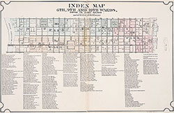 Index Map & Street List
 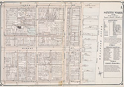 Plate 1
 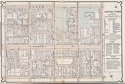 Plate 2
 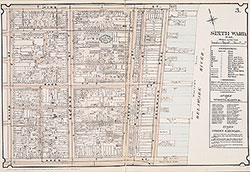 Plate 3
 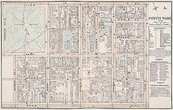 Plate 4
 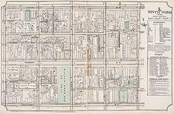 Plate 5
 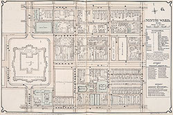 Plate 6
 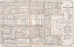 Plate 7
 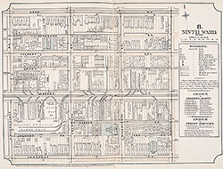 Plate 8
 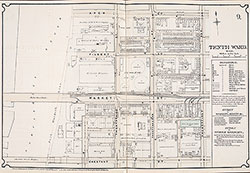 Plate 9
 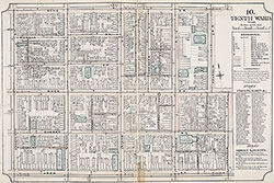 Plate 10
 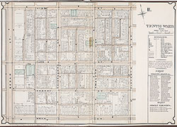 Plate 11
 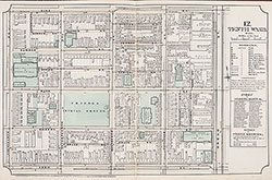 Plate 12
 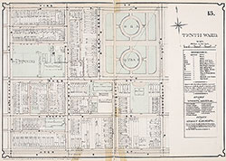 Plate 13
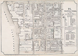 Plate 14
 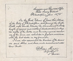 Survey District Note
 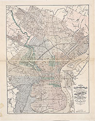 City Map
 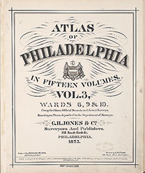 Title Page