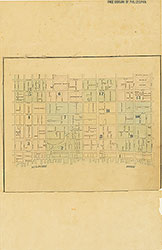
Maps of the City of Philadelphia, 1858-1860, Plate 7
Maps 1860: Hexamer & Locher, Maps of the City of Philadelphia: Volume 1
Item Info
Item No: MHXLBB00010
Title: Maps of the City of Philadelphia, 1858-1860, Plate 7
Additional Title: Maps of the City of Philadelphia, 1858-1860: Volume 1
Publication Year:
1860
Page: 10
Work Type: Property Atlases/Maps
Source: Map Collection
Notes:
Commercial Bank: 314 Chestnut Street
Commonwealth Bank: southwest corner 4th and Chestnut Streets
Girard Bank: west side 3rd Street below Chestnut Street
Goldsmith Hall: 418-422 Library Street
Hibernia Engine Company: north side Evelina Street between Levant and 3rd Streets
Little Schuylkill Navigation, Railroad and Coal Company: 407 Library Street
Philadelphia Bulletin: 114 S. 3rd Street
Philadelphia Dispensary: 127 S. 5th Street
Public Ledger: 300-302 Chestnut Street
Western Bank: southwest corner 4th and Chestnut Streets
Northside Orientation of Image: Right
Alternate Page Number: Plate 7
City/Town/Township: Geographic Coverage State/Province:Pennsylvania
Geographic Coverage City/Town/Township:Philadelphia
Creator Name: Hexamer & Locher
Subjects
- Philadelphia, Pennsylvania
- Railroads
- Banks
- Goldsmiths Hall
- Philadelphia Dispensary
- Charities
- Newspaper industry
- Public Ledger Building
- Poor
- Fire stations
- Western Bank
- Hibernia Engine Company
- Dispensaries (health facilities)
- Little Schuylkill Navigation, Railroad and Coal Company
- Commonwealth Bank
- Commercial Bank
- Philadelphia Bulletin
- Girard Bank
 Index (v. 1)
  Plate 1
  Plate 2
  Plate 3
 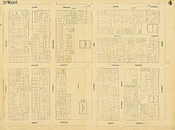 Plate 4
 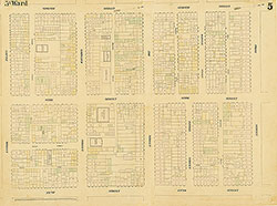 Plate 5
 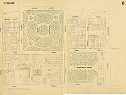 Plate 6
 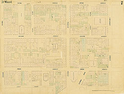 Plate 7
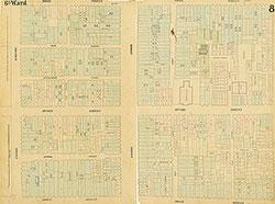 Plate 8
 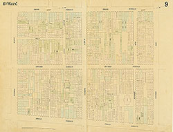 Plate 9
 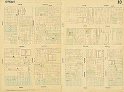 Plate 10
 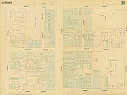 Plate 11
 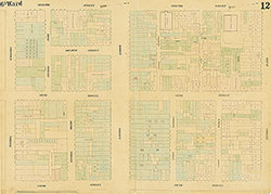 Plate 12
 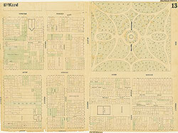 Plate 13
 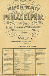 Title
Title 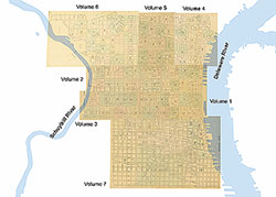 Comprehensive Index