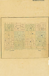
Maps of the City of Philadelphia, 1858-1860, Plate 12
Maps 1860: Hexamer & Locher, Maps of the City of Philadelphia: Volume 1
Item Info
Item No: MHXLBB00015
Title: Maps of the City of Philadelphia, 1858-1860, Plate 12
Additional Title: Maps of the City of Philadelphia, 1858-1860: Volume 1
Publication Year:
1860
Page: 15
Work Type: Property Atlases/Maps
Source: Map Collection
Notes:
American Hotel: 517-519 Chestnut Street
City Bank: 32 N. 6th Street
Commerce Hotel: 29 S. 6th Street
Franklin House: 52-54 N. 6th Street
Jayne's Hall: 625-631 Chestnut Street
Jayne's Marble Building: 615-619 Chestnut Street
Orleans Hotel: 531 Chestnut
States Union Hotel: 606-608 Market Street
Tower Hall: 511 Minor Street
Northside Orientation of Image: Right
Alternate Page Number: Plate 12
City/Town/Township: Geographic Coverage State/Province:Pennsylvania
Geographic Coverage City/Town/Township:Philadelphia
Creator Name: Hexamer & Locher
 Index (v. 1)
 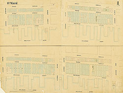 Plate 1
 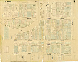 Plate 2
 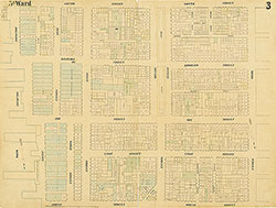 Plate 3
 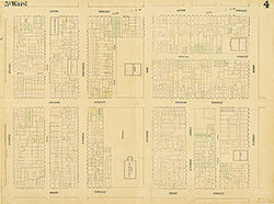 Plate 4
 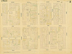 Plate 5
 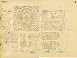 Plate 6
 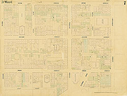 Plate 7
 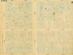 Plate 8
 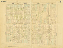 Plate 9
 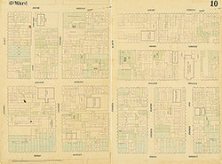 Plate 10
 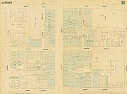 Plate 11
 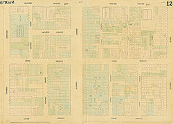 Plate 12
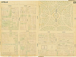 Plate 13
 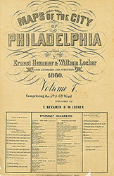 Title
Title 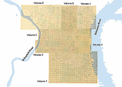 Comprehensive Index