Map of the Vicinity of Philadelphia, From Actual Surveys, 1861, Plate 3-B: Northeast Suburbs
Maps 1861: Map of the Vicinity of Philadelphia, from Actual Surveys
Item Info
Item No: MLBPAA00003b
Title: Map of the Vicinity of Philadelphia, From Actual Surveys, 1861, Plate 3-B: Northeast Suburbs
Additional Title: Map of the Vicinity of Philadelphia, From Actual Suburbs, 1861
Publication Year:
1861
Page: 6
Work Type: Property Atlases/Maps
Source: Map Collection
Notes:
Includes inset maps of various Philadelphia neighborhoods and a Frankford business directory.
Northside Orientation of Image: Top
Alternate Page Number: Plate 3-B: Northeast Suburbs
County: Geographic Coverage State/Province:New Jersey
Geographic Coverage City/Town/Township:Philadelphia (part)
Geographic Coverage Region/County:Mercer (part)
Creator Name: Lake, D.J. - Surveyor
Beers, S. N. - Surveyor
J.E. Gillette & Co. - Publisher
Beers, D. G. (Daniel G.) - Surveyor
Beers, F. W. (Frederick W.) - Surveyor
Lake, L. B. - Surveyor
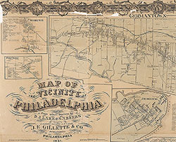 Plate 2-A: Philadelphia
 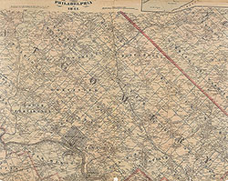 Plate 2-B: North Suburbs
 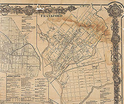 Plate 3-A: Philadelphia
 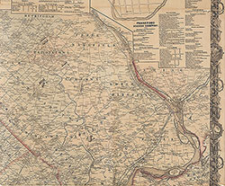 Plate 3-B: Northeast Suburbs
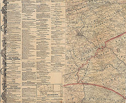 Plate 4-A: Southwest Suburbs
 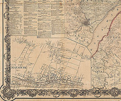 Plate 4-B: Southeast Suburbs
 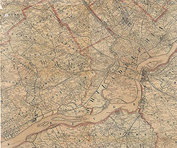 Plate 5-A: South Suburbs
 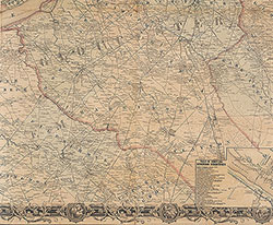 Plate 5-B: South Suburbs
 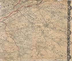 Plate 6-A: Southeast Suburbs
 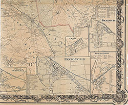 Plate 6-B: Southeast Suburbs
 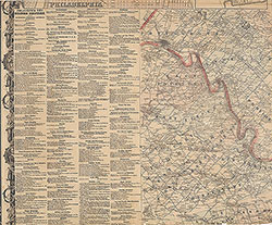 Plate 1-B: Northwest Suburbs
 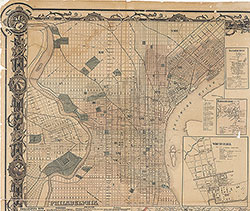 Plate 1-A: Philadelphia