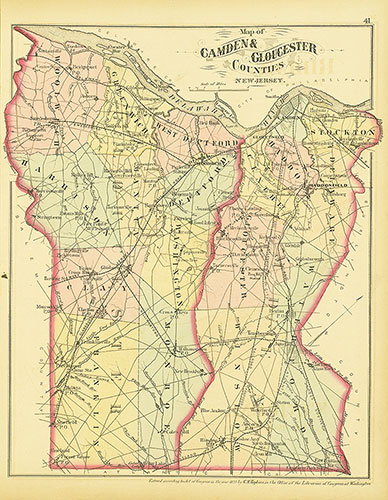
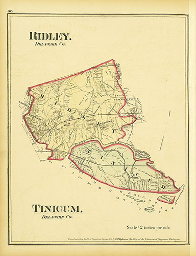
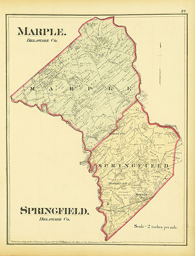
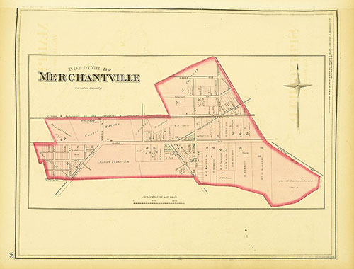
Map Collection
Our map collection enables you to see how Philadelphia's neighborhoods and streets have grown and changed. Use our interactive mapping tool to overlay atlases dating back as far as 1843 over today's street layout.
Showing 4081 to 4100 of 5,151

Maps of the City of Philadelphia, 1858-1860, Plate 89
1859: Hexamer & Locher, Maps of the City of Philadelphia: Volume 6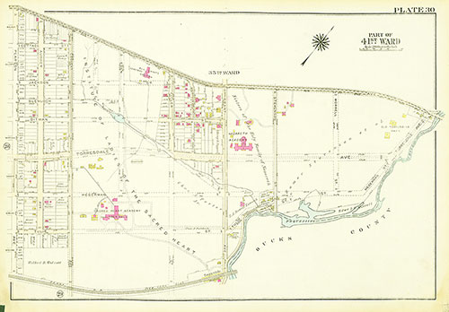
Atlas of the City of Philadelphia, 23rd and 41st Wards, Plate 30
1929: Bromley, Atlas of the City of Philadelphia, 23rd and 41st Wards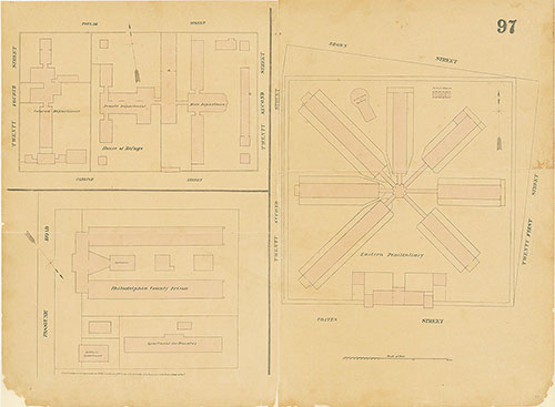
Maps of the City of Philadelphia, 1858-1860, Plate 97
1860: Hexamer & Locher, Maps of the City of Philadelphia: Volume 7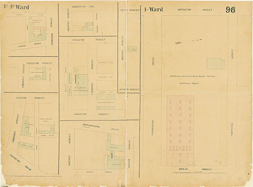
Maps of the City of Philadelphia, 1858-1860, Plate 96
1860: Hexamer & Locher, Maps of the City of Philadelphia: Volume 7