City Atlas of Philadelphia, 24th and 27th Wards, 1872, Plate B
Maps 1872: G. M. Hopkins, City Atlas of Philadelphia, 24th and 27th Wards, Volume 7
Item Info
Page: 5
Work Type: Property Atlases/Maps
Source: Map Collection
Notes:
Aman Steam Planing Mill: north side Filbert Street below 38th Street
Baker & Askin Livery: south side Market Street below 34th Street
Blockely Almshouse: Woodland & Spruce Streets
Bull's Head Hotel: south side Market Street below 38th Street
Columbia Fire Co.: south side Market Street above 34th Street
Herbert & Milne Sash & Blind Co.: north side Market Street below 36th Street
Lane's Carriage Factory: south side Market Street above 34th Street
McIlvaine's Lumber Yard" northwest corner 34th & Market Streets
Philadelphia Hose Co.: southeast corner 37th & Oak Streets
Philadelphia Riding School: south side Market Street below 34th Street
Rose Trowel Factory: northeast corner 36th & Filbert Streets
Storm & Bro. West Philadelphia Flint Glass Works: south side Market above 33rd Street
University of Pennsylvania: northwest corner 34th & Spruce Streets
Notes:
Volume 7 of 7
Northside Orientation of Image: Top Right
Alternate Page Number: Plate B
City/Town/Township: Geographic Coverage City/Town/Township:Philadelphia
Creator Name: G.M. Hopkins & Co. - Publisher
- Carriages & coaches
- Philadelphia, Pennsylvania
- Trowels
- Glass industry
- Hotels
- Universities & colleges
- University Of Pennsylvania
- Stables (animal housing)
- Fire stations
- Lumberyards (stores)
- Almshouses (buildings)
- Livery stables
- Sash windows
- Planing mills
- Philadelphia Hose Company
- Bulls Head Hotel and Stables
- Blockely Almshouse
- Lane, D.M. Carriage Factory
- Columbia Fire Company
- Philadelphia Riding School
- Riding schools (buildings)
- Baker & Askin Livery
- West Philadelphia Flint Glass Works (Storm Brothers)
- Herbert & Milne Sash & Blind Factory
- Aman Steam Planing Mill
- Rose, William Trowel Factory
- McIlvaine's Lumber Yard
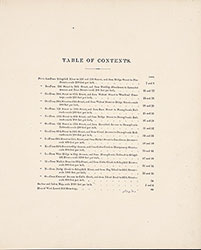 Table of Contents
  Plate A
  Plate B
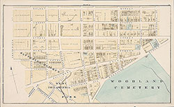 Plate C
 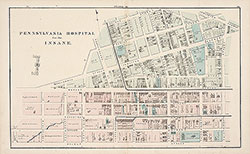 Plate D
 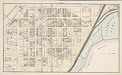 Plate E
 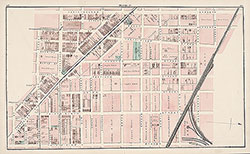 Plate F
 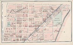 Plate G
 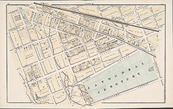 Plate H
 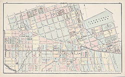 Plate J
 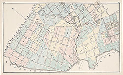 Plate K
 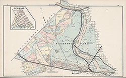 Plate L
 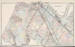 Plate M
  Plate N
  Plate O
  West Laurel Hill Cemetery
  Index Map
 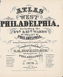 Title Page