City Atlas of Philadelphia, 24th and 27th Wards, 1872, West Laurel Hill Cemetery
Maps 1872: G. M. Hopkins, City Atlas of Philadelphia, 24th and 27th Wards, Volume 7
Item Info
Item No: MGMHAL00018
Title: City Atlas of Philadelphia, 24th and 27th Wards, 1872, West Laurel Hill Cemetery
Additional Title: City Atlas of Philadelphia, 24th and 27th Wards, 1872: Volume 7
Publication Year:
1872
Page: 18
Street Address: Belmont Avenue & Righter's Ferry Road
Work Type: Property Atlases/Maps
Source: Map Collection
Notes:
Volume 7 of 7
Northside Orientation of Image: Top Left
Alternate Page Number: West Laurel Hill Cemetery
City/Town/Township: Geographic Coverage City/Town/Township:Lower Merion Township
Creator Name: G.M. Hopkins & Co. - Publisher
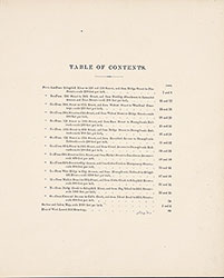 Table of Contents
 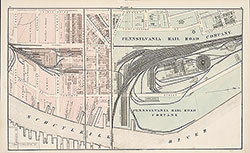 Plate A
 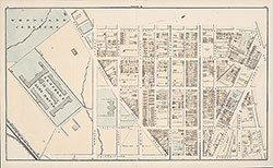 Plate B
 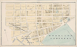 Plate C
 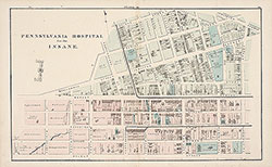 Plate D
 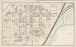 Plate E
 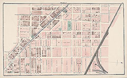 Plate F
 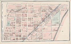 Plate G
 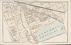 Plate H
 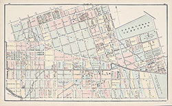 Plate J
 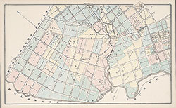 Plate K
 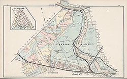 Plate L
 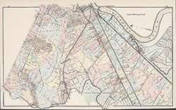 Plate M
 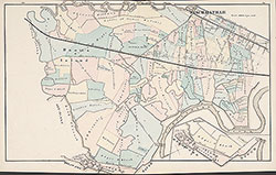 Plate N
  Plate O
  West Laurel Hill Cemetery
 Index Map
 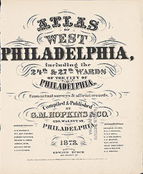 Title Page