City Atlas of Philadelphia, 24th and 27th Wards, 1872, Plate K
Maps 1872: G. M. Hopkins, City Atlas of Philadelphia, 24th and 27th Wards, Volume 7
Item Info
Item No: MGMHAL00013
Title: City Atlas of Philadelphia, 24th and 27th Wards, 1872, Plate K
Additional Title: City Atlas of Philadelphia, 24th and 27th Wards, 1872: Volume 7
Publication Year:
1872
Page: 13
Work Type: Property Atlases/Maps
Source: Map Collection
Notes:
Haddington Shawl Factory: east side Haverford Avenue below 69th Street
Keystone Paper Mills: west side Cobbs Creek opposite Arch Street (Delaware Coubty)
Milton's Drug Store: northeast corner 65th & Vine Streets
Philadelphia Bellevue Institute: northwest corner 65th & Vine Streets
Philadelphia Orphan Asylum: northeast corner 65th Street & Lansdowne Avenue
Wolfenden, Shore Woolen Mills: Carter Street above Race Street
Notes:
Volume 7 of 7
Northside Orientation of Image: Top Left
Alternate Page Number: Plate K
City/Town/Township: Geographic Coverage City/Town/Township:Philadelphia
Creator Name: G.M. Hopkins & Co. - Publisher
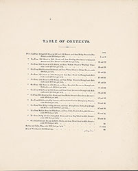 Table of Contents
 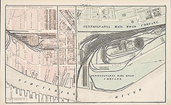 Plate A
 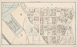 Plate B
 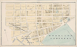 Plate C
 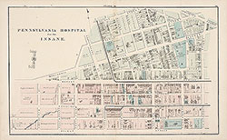 Plate D
 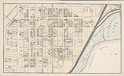 Plate E
 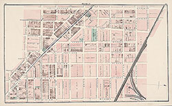 Plate F
 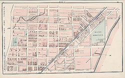 Plate G
 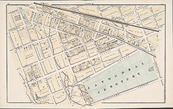 Plate H
 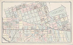 Plate J
 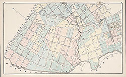 Plate K
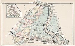 Plate L
 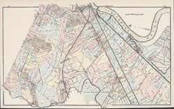 Plate M
  Plate N
  Plate O
  West Laurel Hill Cemetery
  Index Map
 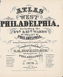 Title Page