Insurance Maps of the City of Philadelphia, 1897, Plate 6 1/2
Maps 1897: Hexamer, Insurance Maps of the City of Philadelphia, Volume 1
Item Info
Item No: MHIMAA00015
Title: Insurance Maps of the City of Philadelphia, 1897, Plate 6 1/2
Additional Title: Insurance Maps of the City of Philadelphia, 1897: Volume 1
Publication Year:
1897
Page: 15
Work Type: Property Atlases/Maps
Source: Map Collection
Notes:
Adelphi Coach Works: 214 South 5th Street
MacKellar, Smith & Jordan American Type Founders Co.: 606-612 Samson Street
Artisan Hall: 616-620 Chestnut Street
Equitable Trust Co.: 624 Chestnut Street
German Demokrat: 607-609 Samson Street
Land Title & Trust Co.: 608-610 Chestnut Street
Ludwick Building: 619 Walnut Street
Mechanics Fire Insurance Co.: 500-502 Walnut Street
Mutual Assurance Co.: 526 Walnut Street
Pennsylvania Fire Insurance Co.: 510 Walnut Street
Public Ledger Building: 600-606 Chestnut Street
Northside Orientation of Image: Right
Alternate Page Number: Plate 6 1/2
City/Town/Township: Geographic Coverage State/Province:Pennsylvania
Geographic Coverage City/Town/Township:Philadelphia
Creation Year (Single Year or Range Begin): 1897
Creator Name: Ernest Hexamer & Son - Publisher
Subjects
- Carriages & coaches
- Mackellar, Smiths & Jordan
- Philadelphia, Pennsylvania
- Banks
- Insurance companies
- Land Title and Trust Co.
- Public Ledger Building
- Newspapers
- Washington Square
- Independence Square
- Silversmiths
- Typefounding
- Trust companies
- Artisan Hall
- German Demokrat
- Pennsylvania Fire Insurance Co.
- Adelphi Coach Works
- Mechanics Fire Insurance Co.
- Mutual Assurance Co.
- Ludwick Building
- American Type Founders Co.
- Equitable Trust Co.
- Jewelry making
- Watch making
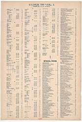 Street Index
 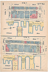 Plate 1
 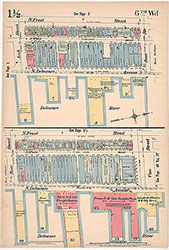 Plate 1 1/2
 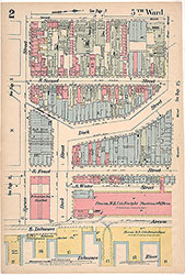 Plate 2
 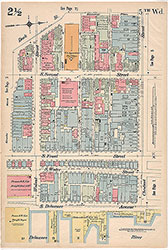 Plate 2 1/2
 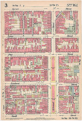 Plate 3
 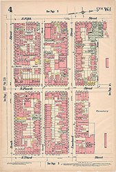 Plate 4
  Plate 4 1/2
 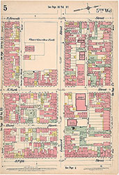 Plate 5
 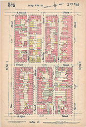 Plate 5 1/2
 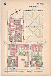 Plate 6
 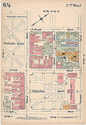 Plate 6 1/2
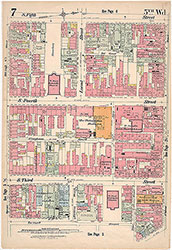 Plate 7
 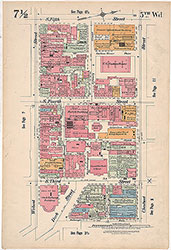 Plate 7 1/2
 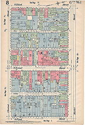 Plate 8
 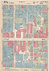 Plate 8 1/2
 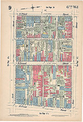 Plate 9
 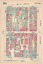 Plate 9 1/2
 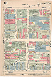 Plate 10
 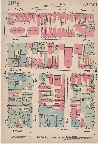 Plate 10 1/2
 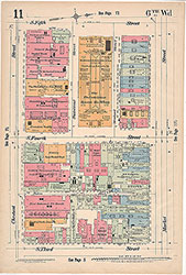 Plate 11
 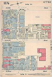 Plate 11 1/2
 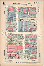 Plate 12
 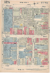 Plate 12 1/2
 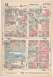 Plate 13
 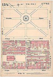 Plate13 1/2
  Plate 3 1/2
 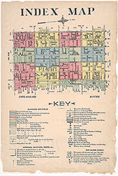 Index Map and Key
 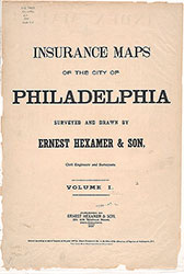 Title Page