Insurance Maps of the City of Philadelphia, 1897, Plate 11
Maps 1897: Hexamer, Insurance Maps of the City of Philadelphia, Volume 1
Item Info
Page: 24
Work Type: Property Atlases/Maps
Source: Map Collection
Notes:
Bank of North America: 305-309 Chestnut
Bell Telephone Co.: 406-408 Market Street
Farmers & Mechanics Bank: 425-429 Chestnut Street
First National Bank: 315-319 Chestnut Street
Frederick Brown Co.: 439-441 Chestnut Street
Girard Building: 433-437 Chestnut Street
Mechanics Bank: 22-24 South 3rd Street
Model Coffee House: 27-29 South 4th Street
National Bank of the Republic: 311-313 Chestnut Street
Peoples Bank: 433 Chestnut Street
Philadelphia Bourse: east side 5th Street between Merchant & Ranstead Streets
Philadelphia National Bank: 419-423 Chestnut Street
Philadelphia Trust, Safe Deposit & Insurance Co.: 413-417 Chestnut Street
Provident Building: 401 Chestnut Street
Provident Life & Trust Co.: 409 Chestnut Street
Riley's Horse Clothing Store & Factory: 424-426 Market Street
Northside Orientation of Image: Right
Alternate Page Number: Plate 11
City/Town/Township: Geographic Coverage State/Province:Pennsylvania
Geographic Coverage City/Town/Township:Philadelphia
Creation Year (Single Year or Range Begin): 1897
Creator Name: Ernest Hexamer & Son - Publisher
- Philadelphia, Pennsylvania
- Banks
- National Bank of the Republic
- Philadelphia National Bank
- Philadelphia Trust, Safe Deposit and Insurance Company
- Coffeehouses
- Provident Building
- Provident Life & Trust Co.
- Frederick Brown Co. (Firm)
- Trust companies
- First National Bank
- Farmers & Mechanics Bank
- Bank of North America
- Mechanics Bank
- Girard Building
- People's Bank
- Bourses see Exchanges (financial institutions)
- Exchanges (financial institutions)
- Bell Telephone Co.
- Telephone companies
- Riley, W.B. Horse Clothing Store & Factory
- Model Coffee House
- Philadelphia Bourse
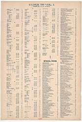 Street Index
 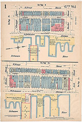 Plate 1
 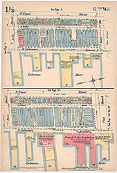 Plate 1 1/2
 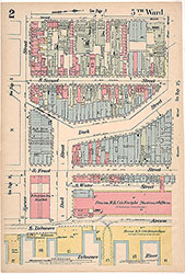 Plate 2
 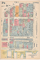 Plate 2 1/2
 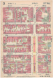 Plate 3
 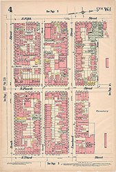 Plate 4
 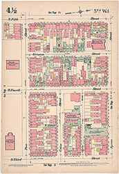 Plate 4 1/2
 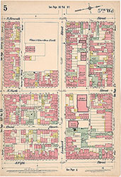 Plate 5
 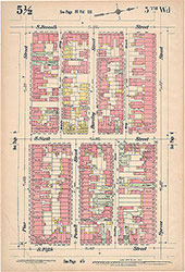 Plate 5 1/2
 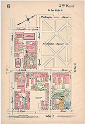 Plate 6
 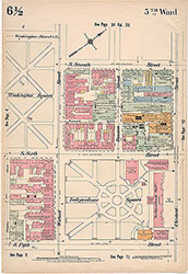 Plate 6 1/2
 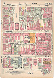 Plate 7
 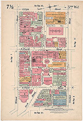 Plate 7 1/2
  Plate 8
  Plate 8 1/2
 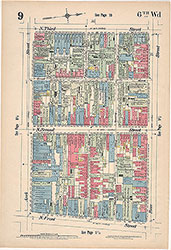 Plate 9
  Plate 9 1/2
  Plate 10
  Plate 10 1/2
 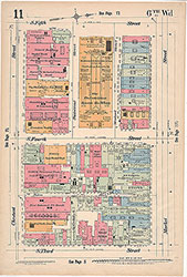 Plate 11
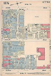 Plate 11 1/2
 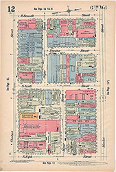 Plate 12
 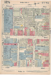 Plate 12 1/2
 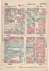 Plate 13
 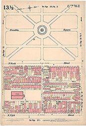 Plate13 1/2
 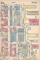 Plate 3 1/2
 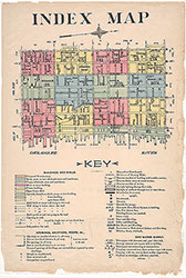 Index Map and Key
  Title Page