Atlas of Philadelphia, 19th Ward, 1874, Plate 6
Maps 1874: G. H. Jones, Atlas of Philadelphia, 19th Ward
Item Info
Page: 9
Work Type: Property Atlases/Maps
Source: Map Collection
Notes:
Volume 2 of 4 (only volumes published)
Index to street railways
Black Horse Hotel (tavern): west side Frankford Avenue above Columbia Avenue
Columbia Mills: southeast corner Mascher Street & Columbia Avenue
Franklin Flint Glass Works: northwest corner Howard & Oxford Streets
Harrison Dye Works: west side Howard Street above Columbia Avenue
Kensington Hotel: southeast corner Front & Harrison Streets
Keystone Dye Works: west side Howard Street above Columbia Avenue
Keystone Knitting Mills: east & west sides Hancock Street between Oxford & Putnam Streets
Nassau Carpet Works: east side Front Street below Harrison Street
Penn Knitting Mills: northeast corner Howard & Harrison Streets
Philadelphia Steam Soap & Candle Manufactory: west side Howard St. below Montgomery Avenue
Putnam Carpet Works: northeast corner Columbia Avenue & Hope Street
Schollenberger Leather Manufactory: southeast corner Mascher & Putnam Streets
Western White Lead Company: northeast corner Montgomery Avenue & Hancock Street
Widmayer's Dye Works: northwest corner Columbia Avenue & Hancock Street
Northside Orientation of Image: Top
Alternate Page Number: Plate 6
City/Town/Township: Geographic Coverage Ward:19th Ward
Geographic Coverage City/Town/Township:Philadelphia
Creator Name: G.H. Jones - Publisher
- Candles
- Carpets
- Philadelphia, Pennsylvania
- Soap
- Street railroads
- Glass industry
- Leather industry
- Taverns
- Hotels
- Textile mills
- Horse railroads
- Flint glass
- Black Horse Tavern
- Lead (metal)
- Penn Knitting Mills
- Nassau Carpet Works
- Putnam Carpet Works
- Philadelphia Steam Soap & Candle Manufactory
- Harrison Dye Works
- Keystone Dye Works
- Columbia Mills
- Franklin Flint Glass Works
- Schollenberger, W. & Sons Leather Manufactory
- Keystone Knitting Mills
- Western White Lead Company
- Widmayer's Dye Works
- Kensington Hotel
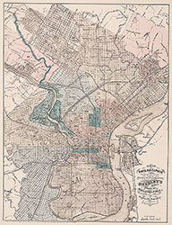 City Map
 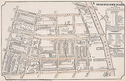 Plate 1
 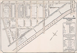 Plate 2
 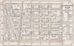 Plate 4
 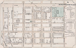 Plate 5
 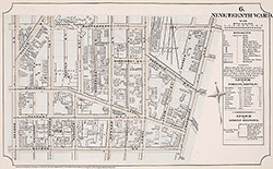 Plate 6
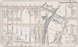 Plate 7
 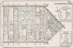 Plate 8
 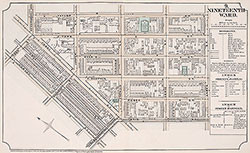 Plate 9
 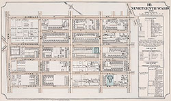 Plate 10
 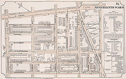 Plate 11
 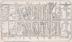 Plate 12
 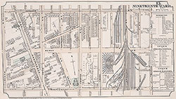 Plate 13
 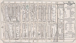 Plate 14
 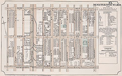 Plate15
 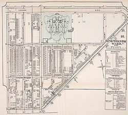 Plate 16
 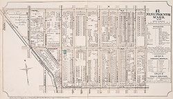 Plate 17
 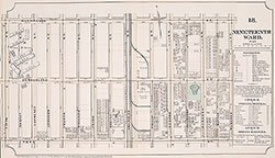 Plate 18
 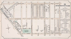 Plate19
 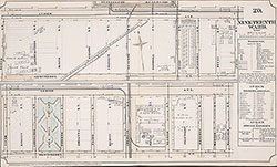 Plate 20
 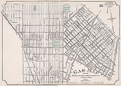 Plate 21
 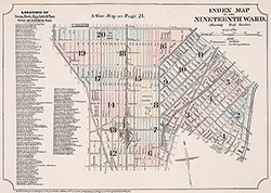 Index Map & Street Listing
 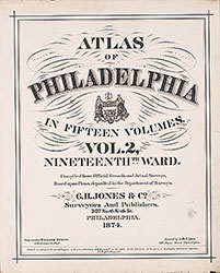 Title Page
 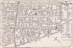 Plate 3