Atlas of Philadelphia, 19th Ward, 1874, Plate 13
Maps 1874: G. H. Jones, Atlas of Philadelphia, 19th Ward
Item Info
Page: 16
Work Type: Property Atlases/Maps
Source: Map Collection
Notes:
Volume 2 of 4 (only volumes published)
Index to street railways
Carnell's Machine Shop: west side Germantowbn Avenue above Montgomery Avenue
Carnell's Philadelphia Brick Works: east side 5th Street at Germantown Avenue
Crans' Cohocksink Marble Yard: west side Germantown Avenue below Norris Street
Klauder's Flour Mill: east side 6th Street above Montgomery Avenue
Liberty Council Hall: west side Germantown Avenue below Norris Street
Mitchell's Iron Foundry: east side 6th Street above Montgomery Avenue
Norris Street Farmers Market: southeast corner 3rd & Norris Streets
North Pennsylvania Railroad Passenger Depot: northwest corner American & Berks Streets
Rutschmann's Machine Works: southwest corner Berks & Manor Streets
Sheppard's Excelsior Stove Works & Hollow Ware Foundry: southeast corner 4th & Berks Streets
Northside Orientation of Image: Top
Alternate Page Number: Plate 13
City/Town/Township: Geographic Coverage Ward:19th Ward
Geographic Coverage City/Town/Township:Philadelphia
Creator Name: G.H. Jones - Publisher
- Marble
- Philadelphia, Pennsylvania
- Railroad stations
- Street railroads
- Iron industry
- Railroads
- Markets
- Foundries
- Assembly halls
- Flour mills
- Horse railroads
- Stove industry
- Hollowware
- Machine shops
- Brickworks (factories)
- North Pennsylvania Railroad Depot
- Norris Street Farmers Market
- Sheppard's Excelsior Stove Works & Hollow Ware Foundry
- Rutschman's Machine Works & Tape Weaving
- Carnell's Philadelphia Brick Works
- Klauder's Flour Mill
- Mitchell, James Iron Foundry
- Carnell's Machine Shop
- Crans, W. H. Cohocksink Marble Yard
- Liberty Council Hall
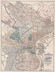 City Map
 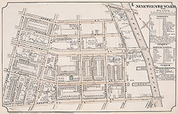 Plate 1
 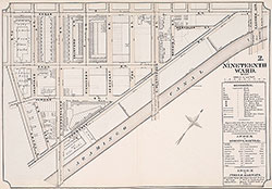 Plate 2
 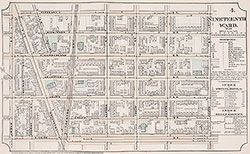 Plate 4
 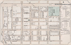 Plate 5
 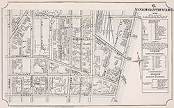 Plate 6
 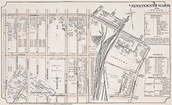 Plate 7
 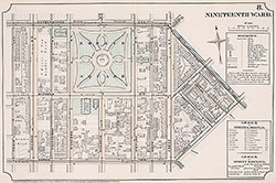 Plate 8
 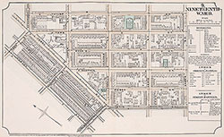 Plate 9
 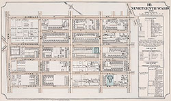 Plate 10
 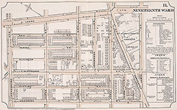 Plate 11
 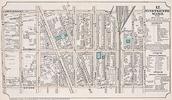 Plate 12
 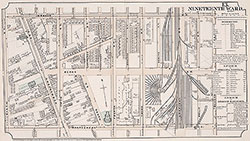 Plate 13
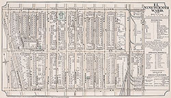 Plate 14
 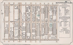 Plate15
 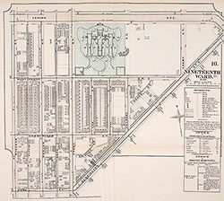 Plate 16
 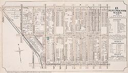 Plate 17
 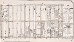 Plate 18
 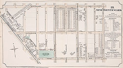 Plate19
 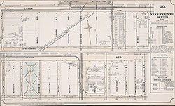 Plate 20
 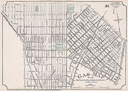 Plate 21
 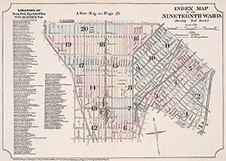 Index Map & Street Listing
 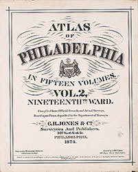 Title Page
 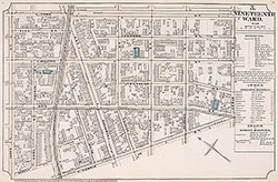 Plate 3