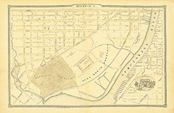
Atlas of the City of Philadelphia, 1862, Section 6
Maps 1862: Smedley, Atlas of the City of Philadelphia
Item Info
Page: 11
Work Type: Property Atlases/Maps
Source: Map Collection
Notes:
Arch Street Railway Depot: south side Callowhill Street Street below the wire bridge
Bulls Head Hotel & Stables: south side Market Street between 37th & 38th Streets
Dreer Nursery & Greenhouse: south side Eadline below 36th Street
Harding's Tavern: southwest corner Bridge & 30th Streets
Montezuma Hotel: northwest corner Hamilton and 30th Streets
Ohio House: southeast corner 39th & Market Streets
Pennsylvania Hotel: southeast corner Lancaster Road & 34th Street
Powelton Hotel: Lancaster Road, Arch Street & 35th Street
Race & Vine Street Railway Depot: south side Callowhill Street below the wire bridge
Sauders Institute: north side Filbert Street at 39th Street
Spring Garden Gas Works: south side Callowhill Street above Powelton Avenue
Union Drove Yard & Hog Market: Haverford Street & Pennsylvania Railroad
Washington Hotel: northwest corner 39th & Market Streets
West Chester Railroad Station: southeast corner Market & Lehman Streets
West Philadelphia Ijnstitute: between 39th & Boudinot Streets below Powelton Avenue
West Philadelphia Railroad Depot: north side Haverford Street above 41st Street
William Penn Tavern: north side Market Street above 38th Street
Northside Orientation of Image: Top
Alternate Page Number: Section 6
City/Town/Township: Geographic Coverage State/Province:Pennsylvania
Geographic Coverage City/Town/Township:Philadelphia
Creator Name: J. B. Lippincott & Co. (1862) - Publisher
Samuel L. Smedley
- Philadelphia, Pennsylvania
- Railroad stations
- Street railroads
- Greenhouses
- Gas industry
- Taverns
- Hotels
- Schools
- West Chester Railroad Station
- Stockyards
- Horse railroads
- Race and Vine Street Railway Depot
- Arch Street Railway Depot
- Spring Garden Gas Works
- Harding's Tavern
- Montezuma Hotel
- Union Drove Yard and Hog Market
- Pennsylvania Hotel
- Powelton Hotel
- Dreer, Henry A. Nursery & Greenhouse
- Nurseries (horticulture)
- Bulls Head Hotel and Stables
- William Penn Tavern
- West Philadelphia Railroad Depot
- Washington Hotel
- Saunders Institute
- West Philadelphia Institute
- Ohio House
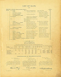 List of Maps
 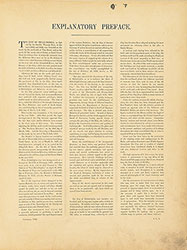 Preface
 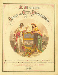 Title Page 1
 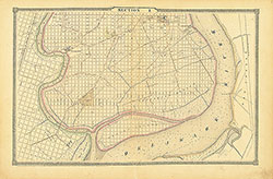 Section 1
 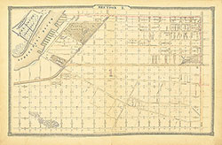 Section 2
 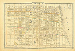 Section 3
 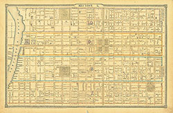 Section 4
 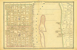 Section 5
 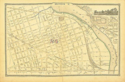 Section 6
 Section 7
 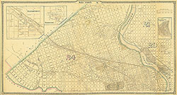 Section 8
 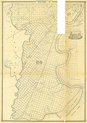 Section 9
 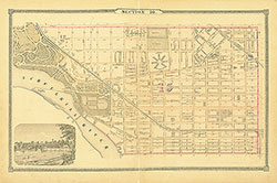 Section 10
 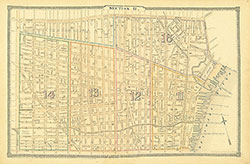 Section 11
 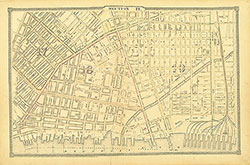 Section 12
 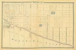 Section 13
 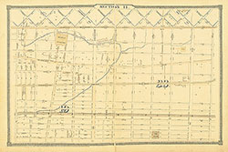 Section 14
 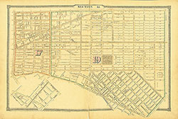 Section 15
 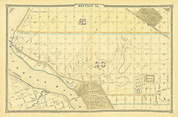 Section 16
 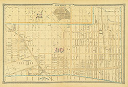 Section 17
 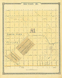 Section 18
 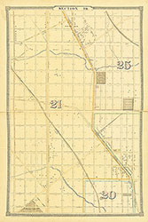 Section 19
 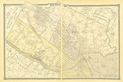 Section 20
 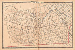 Section 21
 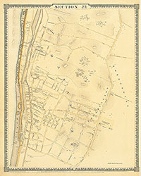 Section 22
 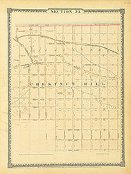 Section 23
 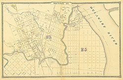 Section 24
 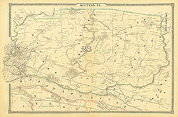 Section 25
 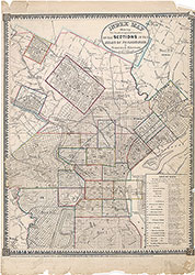 Map Index
  Title Page 2