Atlas of the City of Philadelphia, 1862, Section 10
Maps 1862: Smedley, Atlas of the City of Philadelphia
Item Info
Page: 15
Work Type: Property Atlases/Maps
Source: Map Collection
Notes:
Arch Street Railway Depot: south side Callowhill Street below the wire bridge
Baldwin Locomotive Works: Pennsylvania Avenue to Buttonwood Street, Broad to16th Streets
Green & Coates Street Railroad Station: south side Coates Street between 24th & 25th Streets
House of Refuge: Poplar Street to Parrish Street between 22nd & 24th Streets
Kimball & Gordon Car Manufacturers: northeasat corner 22nd Street & Pennsylvania Avenue
Matthew & Moore Machine Works: Spring Garden St. to Buttonwood St. west of 16th Street
Norris Locomotive Works: Spring Garden Street to Hamilton Street between 16th & 18th Streets
Northern Home For Friendless Children: northwest corner Brown & Howard Streets
Race & Vine Street Railway Depot: south side Callowhill Street below the wire bridge
Sellers Iron Works: Hamilton Street to Pennsylvania Avenue between 16th & 17th Streets
Spring Garden Gas Works: south side Callowhill Street above Powelton Avenue
Whitney & Sons Car Wheel Works: Callowhill St. to Pennsylvania Ave., 16th St. to 17th St.
Northside Orientation of Image: Top
Alternate Page Number: Section 10
City/Town/Township: Geographic Coverage State/Province:Pennsylvania
Geographic Coverage City/Town/Township:Philadelphia
Creator Name: J. B. Lippincott & Co. (1862) - Publisher
Samuel L. Smedley
- Baldwin Locomotive Works
- Philadelphia, Pennsylvania
- Railroad stations
- Wheels
- Iron industry
- Railroad cars
- Gas industry
- Orphanages
- House of Refuge
- Northern Home for Friendless Children (Philadelphia, Pa.)
- Reformatories (buildings)
- Machine shops
- Sellers, William & Co. Iron Works
- Whitney & Sons Car Wheel Works
- Railroad locomotive industry
- Norris, Richard & Son Locomotive Works
- Green and Coates Street Railroad Station
- Race and Vine Street Railway Depot
- Arch Street Railway Depot
- Spring Garden Gas Works
- Kimball and Gorton Car Manufacturers
- Matthew & Moore Machine Works
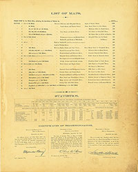 List of Maps
 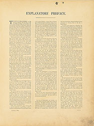 Preface
  Title Page 1
 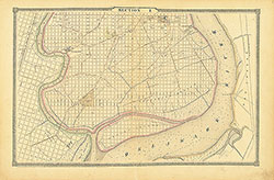 Section 1
 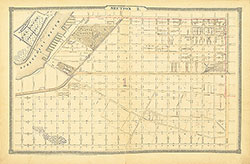 Section 2
  Section 3
  Section 4
  Section 5
 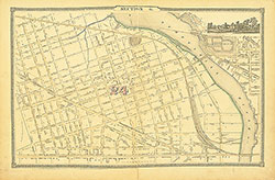 Section 6
 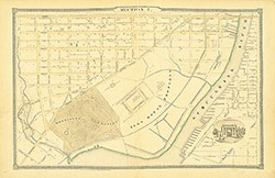 Section 7
 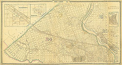 Section 8
 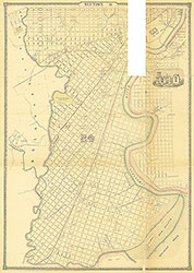 Section 9
 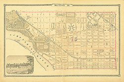 Section 10
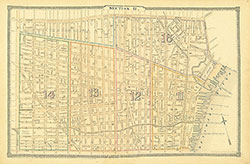 Section 11
  Section 12
  Section 13
 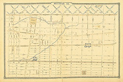 Section 14
 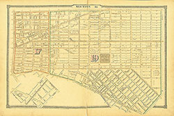 Section 15
 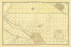 Section 16
 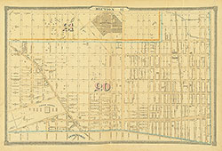 Section 17
 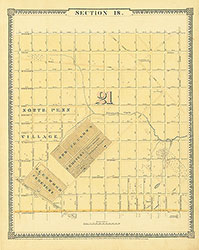 Section 18
 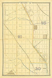 Section 19
 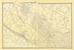 Section 20
  Section 21
 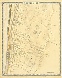 Section 22
 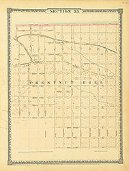 Section 23
 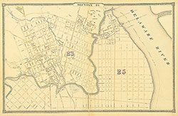 Section 24
 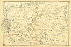 Section 25
 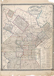 Map Index
  Title Page 2