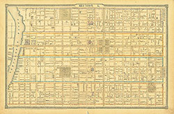
Atlas of the City of Philadelphia, 1862, Section 3
Maps 1862: Smedley, Atlas of the City of Philadelphia
Item Info
Page: 8
Work Type: Property Atlases/Maps
Source: Map Collection
Notes:
Craig's Cotton Factory: north side of Washington Avenue between 11th & 12th Streets
Franklin Engine House: west side 3rd Street above Catharine Street
House of Industry: south side Catharine between 7th & 8th Streets
Merrick & Sons Southwark Foundry: south side Washington Avenue between 4th & 5th Streets
Moyamensing Hall: south side Christian Street between 9th & 10th Streets
Moyamensing Prison: Passyunk Avenue between 10th & 12th Streets
Savery Iron Foundry: west side Front Street above Dickinson Street
Simpson & Neal Shipbuilders Yard: Delaware River at Christian Street
Southwark Bank: west side 2nd Street below South Street
Southwark Hall: east side 2nd Street above Christian Street
Sparks' Shot Tower: north side Carpenter Street between Front & 2nd Streets
United States Naval Shipyard: Delaware River at Prime Street
Northside Orientation of Image: Top
Alternate Page Number: Section 3
City/Town/Township: Geographic Coverage State/Province:Pennsylvania
Geographic Coverage City/Town/Township:Philadelphia
Creator Name: J. B. Lippincott & Co. (1862) - Publisher
Samuel L. Smedley
- Philadelphia, Pennsylvania
- Iron industry
- Sparks' Shot Tower
- Philadelphia Naval Shipyard
- Naval yards & naval stations
- Banks
- Fire stations
- Assembly halls
- Shipyards
- Moyamensing Prison
- Prisons
- Textile mills
- Soup kitchens
- Settlement houses
- Shot towers
- Southwark Bank
- Simpson & Neal Shipbuilder's Yard
- Merrick & Sons Southwark Foundry
- United States Naval Shipyard
- Savery Iron Foundry
- House of Industry
- Southwark Soup House
- Moyamensing Hall
- Craig Cotton Factory
- Cotton mills
- Franklin Engine House
- Southwark Hall
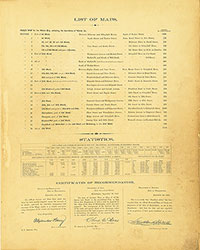 List of Maps
 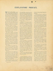 Preface
 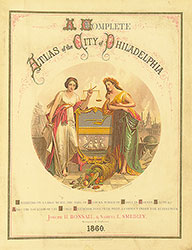 Title Page 1
 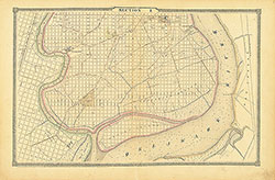 Section 1
 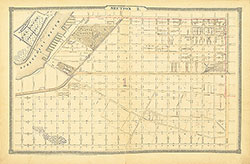 Section 2
 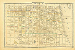 Section 3
 Section 4
 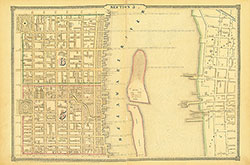 Section 5
 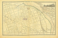 Section 6
  Section 7
  Section 8
  Section 9
 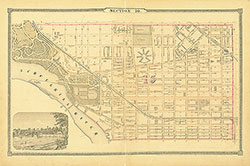 Section 10
 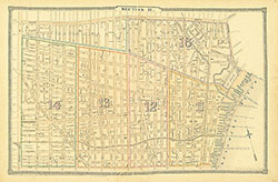 Section 11
 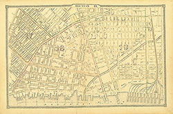 Section 12
 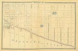 Section 13
 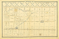 Section 14
 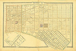 Section 15
 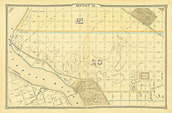 Section 16
 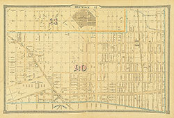 Section 17
  Section 18
  Section 19
 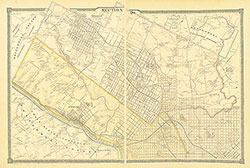 Section 20
  Section 21
 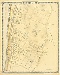 Section 22
 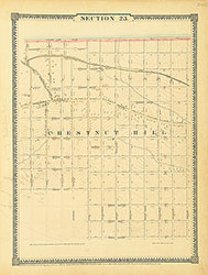 Section 23
 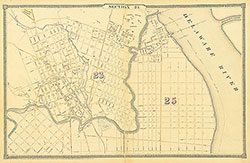 Section 24
 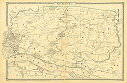 Section 25
 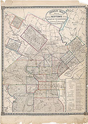 Map Index
  Title Page 2