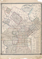
Atlas of the City of Philadelphia, 1862, Section 25
Maps 1862: Smedley, Atlas of the City of Philadelphia
Item Info
Page: 30
Work Type: Property Atlases/Maps
Source: Map Collection
Notes:
Bridesburg Hotel: Bridge Street below Frankford Creek (Bridesburg)
Crescentville Seminary: Tacony Creek above Cedar Grove
Hannock's Bleaching Mills: Asylum Road above Frankford
Hartel's Pennypack Print Works: Pennypack Creek above Holmesburg
Lennig's Tacony Chemical Works: Frankford Creek at Delaware River (Bridesburg)
Loyering Barrel Factory: Bridge Street and Frankford Creek (Bridesburg)
Oxford & Dublin Poorhouse: north of Hollinsville near Pennypack Creek
Rowland Spade Factory: Pennypack Creek above Collegeville
Steinmetz's Saw Mill: Castor's Road above Frankford
United States Arsenal (Frankford): Frankford Creek between Bridesburg & Whitehall
Wheat Sheaf Hotel: Bustleton & Smithfield Turnpike & Township Line Road above Frankford
Whitaker's Factory: Tacony Creek at Cedar Grove
Northside Orientation of Image: Top
Alternate Page Number: Section 25
City/Town/Township: Geographic Coverage State/Province:Pennsylvania
Geographic Coverage City/Town/Township:Philadelphia
Creator Name: J. B. Lippincott & Co. (1862) - Publisher
Samuel L. Smedley
- Barrels
- Philadelphia, Pennsylvania
- Taverns
- Hotels
- Schools
- Chemical plants
- Arsenals
- Textile mills
- Spades
- Almshouses (buildings)
- Oxford & Lower Dublin Poor House
- Sawmills
- Whitaker, William-Cedar Grove Mill
- Rowland Bros. Spade & Shovel Works
- Hartel, A. & Co.-Pennypack Print Works
- Poorhouse see Almshouses (buildings)
- Frankford Arsenal
- Bridesburg Hotel
- Crescentville Seminary
- Wheat Sheaf Tavern
- Pennypack Print Works
- Tacony Chemical Works
- Loyering Barrel Factory
- Steinmetz Saw Mill
- Hannock's Bleaching Mills
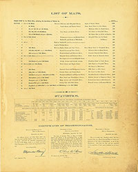 List of Maps
 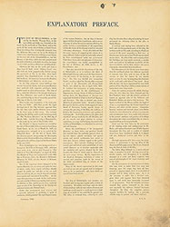 Preface
  Title Page 1
 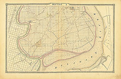 Section 1
 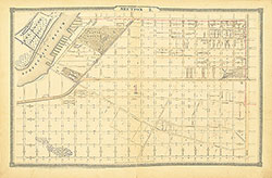 Section 2
 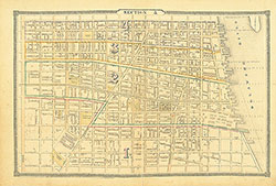 Section 3
 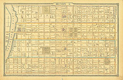 Section 4
 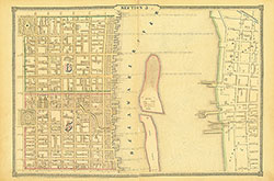 Section 5
 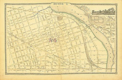 Section 6
 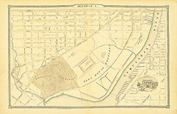 Section 7
 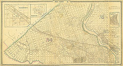 Section 8
 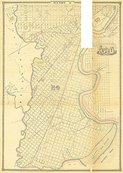 Section 9
 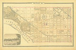 Section 10
  Section 11
  Section 12
  Section 13
 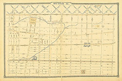 Section 14
 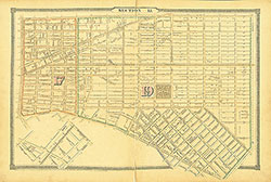 Section 15
 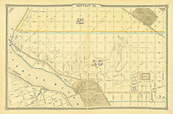 Section 16
 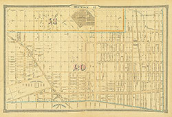 Section 17
 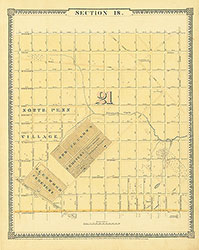 Section 18
 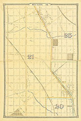 Section 19
 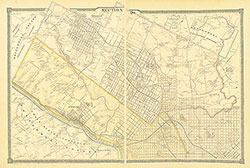 Section 20
 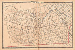 Section 21
 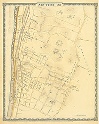 Section 22
 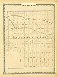 Section 23
 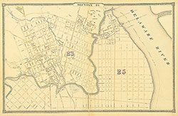 Section 24
 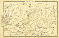 Section 25
 Map Index
 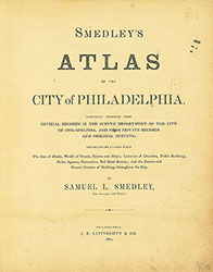 Title Page 2