Atlas of the City of Philadelphia, 1862, Section 17
Maps 1862: Smedley, Atlas of the City of Philadelphia
Item Info
Page: 22
Work Type: Property Atlases/Maps
Source: Map Collection
Notes:
Beckler's Brewery: north side Oxford Street between 11th & 12th Streets
Bender & Co. lumber Yard: south side Girard Avenue below 8th Street
Citizens Passenger Railway Depot: Germantown & Norristown R.R. to 10th St. below Columbia
Farmer's Hay & Straw Market: Oxford Street to Columbia Ave. between Marshall and 7th Streets
Keyser & Shively Lumber Yard: northeast corner Ridge Avenue & Thompson Street
McKenzie Flower Garden: Broad to Carlisle Streets below Montgomery Street
Miles, James Woolen Factory: Germantown & Norristown Railroad above Columbia Avenue
Philadelphia Hardware & Malleable Iron Works: southeast corner 9th & Jefferson Streets
Saint Joseph's Hospital: south side Girard Avenue above 16th Street
Wagner Free Institute: southwest corner 17th & Montgomery Streets
Williams & Ellis Lumber Yard: 10th Street to Warnock Street above Jefferson Street
Ridge Avenue Passenger Railway Depot: northeast corner Ridge & Columbia Avenues
Royer's Carriage Factory: northeast corner Master & Marshall Streets
Northside Orientation of Image: Top
Alternate Page Number: Section 17
City/Town/Township: Geographic Coverage State/Province:Pennsylvania
Geographic Coverage City/Town/Township:Philadelphia
Creator Name: J. B. Lippincott & Co. (1862) - Publisher
Samuel L. Smedley
- Carriages & coaches
- Philadelphia, Pennsylvania
- Railroad stations
- Wagner Free Institute of Science
- Iron industry
- Wool industry
- Hospitals
- Breweries
- Textile mills
- Science museums (buildings)
- St. Joseph's Hospital
- Lumber sheds
- Nurseries (horticulture)
- Farmer's Hay and Straw Market
- Philadelphia Malleable Iron & Hardware Works
- Citizens Passenger Railway Depot
- Mills, James Woolen Factory
- Keyser and Schively Lumber Yard
- Ridge Avenue Passenger Railway Depot
- Royers Carriage Factory
- McKenzie Flower Garden
- Bender & Co. Lumber Yard
- Williams & Ellis Lumber Yard
- Beckler's Brewery
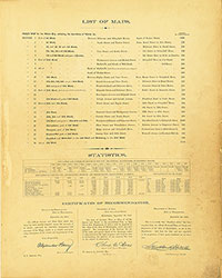 List of Maps
 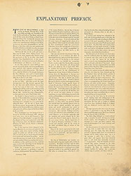 Preface
  Title Page 1
 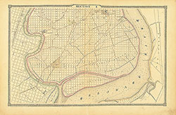 Section 1
 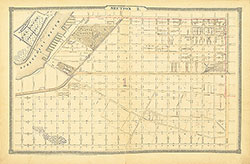 Section 2
 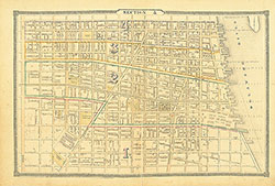 Section 3
 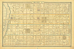 Section 4
 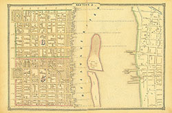 Section 5
 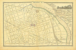 Section 6
 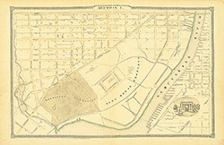 Section 7
 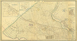 Section 8
 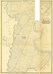 Section 9
 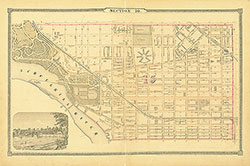 Section 10
 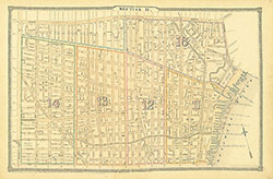 Section 11
 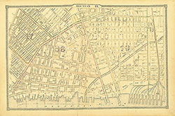 Section 12
 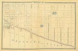 Section 13
 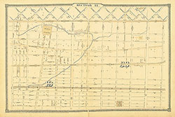 Section 14
 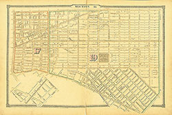 Section 15
  Section 16
  Section 17
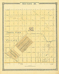 Section 18
 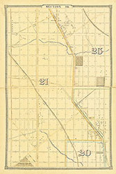 Section 19
 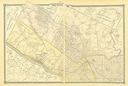 Section 20
 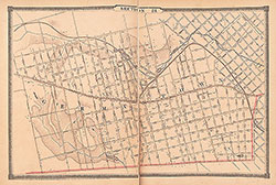 Section 21
 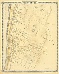 Section 22
 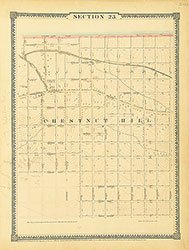 Section 23
 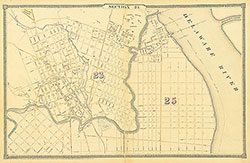 Section 24
 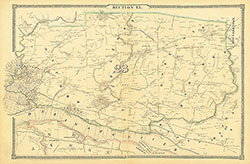 Section 25
 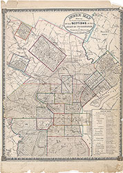 Map Index
  Title Page 2