Castner Scrapbook v.12, Streets 1, page 24
Historical Images of Philadelphia Castner Scrapbook Collection
Item Info
Historic Street Address: 19th & Chestnut Streets
Historic Street Address: 3rd & Walnut Streets
Media Type: Scrapbooks
Source: Print and Picture Collection
Notes:
Item pdcc01257, top left [image dimensions 14.0 cm x 10.9 cm]:
http://www.ushistory.org/districts/rittenhouse/
Depicts a fashionable residential neighborhood on Walnut Street between 18th and 19th Streets. Well-dressed people stroll on the sidewalk in front of the grand houses facing leafy Rittenhouse Square. The iron railing bordering the square is visible on the left, and the tower of Holy Trinity Church rises above the trees.
Published in A Century After: picturesque glimpses of Philadelphia and Pennsylvania. Edited by Edward Strahan. 1875.
Notes:
Item pdcc01258, top right [image dimensions 10.9 cm x 8.8 cm]:
http://www.ushistory.org/districts/rittenhouse/
Depicts a fashionable residential neighborhood on Walnut Street between 18th and 19th Streets. Grand houses face leafy Rittenhouse Square. The iron railings bordering the square are visible on the right. Horse-drawn carriages on the cobblestoned street and well-dressed people strolling about add to the scene's charm.
Notes:
Item pdcc01259, bottom [image dimensions 13.0 cm x 16.5 cm]:
Shows a busy commercial scene along Walnut Street at Third.
Building demolished: YES
Geocode Latitude: Geocode Longitude:-75.146523
Geocode Latitude:39.947033
Call Number: A917.481 P536 v.12
Creator Name: Castner, Samuel, Jr., 1843-1929 - Compiler
Schell, Frederic B. - Artist
 11
11 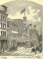 1B
1B  1
1 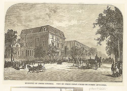 1
1 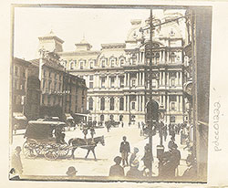 1
1 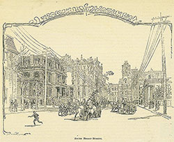 2
2  2
2  1B
1B 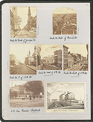 inside front cover
 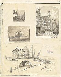 1B
1B  1B
1B  1C
1C 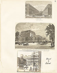 1
1  2
2  2
2  3
3  3
3  6
6  7
7  7
7 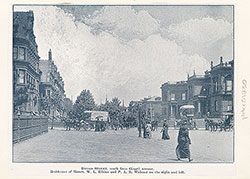 7
7 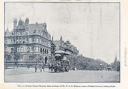 8
8 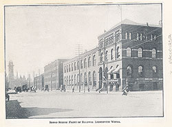 8
8  4
4  4
4 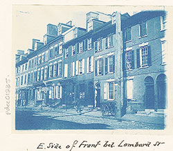 9
9 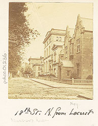 9
9  9
9 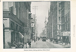 10
10  10
10  13
13  14
14 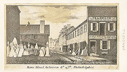 15
15 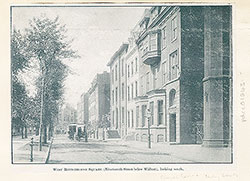 15
15 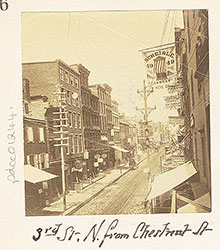 16
16  16
16  16
16  17
17  13
13  3
3 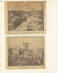 4
4 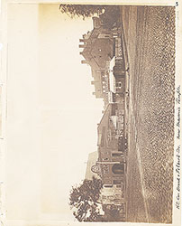 5
5 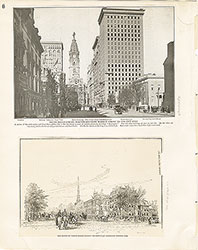 6
6 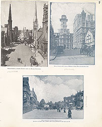 7
7 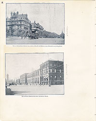 8
8 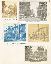 9
9  10
10  11
11  12
12 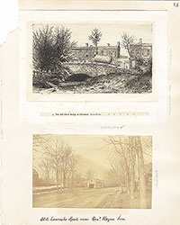 13
13 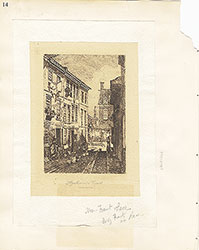 14
14 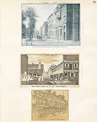 15
15 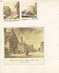 16
16 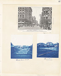 17
17 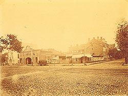 5
5  17
17 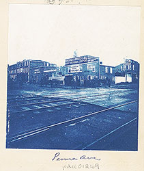 17
17 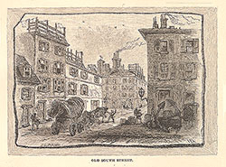 18
18 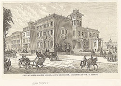 18
18  18
18  20
20 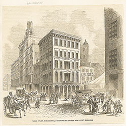 22
22 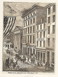 23
23 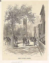 24
24 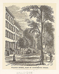 24
24 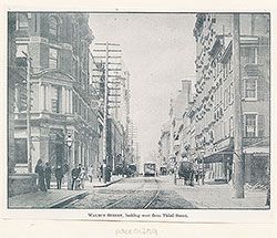 24
24 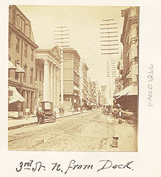 20
20 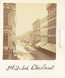 20
20  19
19 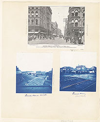 17
17  17
17  17
17 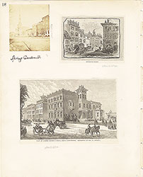 18
18 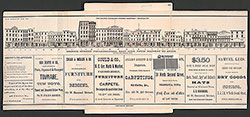 19
19 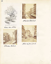 20
20 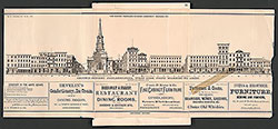 21
21 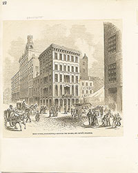 22
22 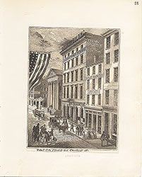 23
23 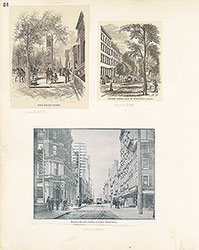 24
24
 28
28  28
28  30
30  32
32  32
32 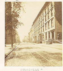 26
26 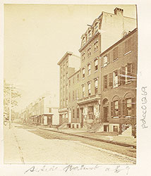 26
26  26
26  37
37  28
28 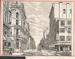 33
33  36
36  27
27  29
29 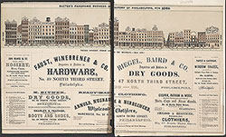 31
31  32
32  32
32  36
36 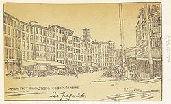 36
36 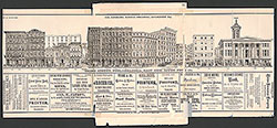 25
25  26
26 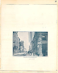 27
27 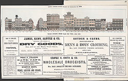 27
27  28
28  29
29  30
30  31
31  32
32 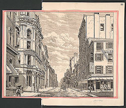 33
33  34
34 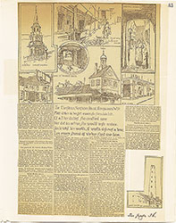 35
35  36
36 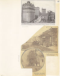 37
37 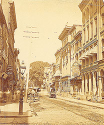 26
26 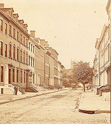 26
26 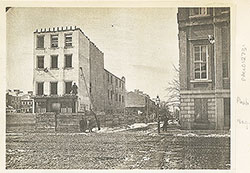 42
42  43
43  45
45  48
48  48
48  47
47  48
48 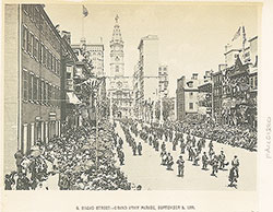 46
46 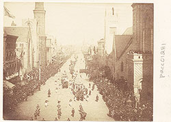 49
49 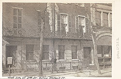 49
49 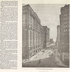 52
52 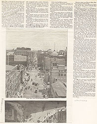 53
53  37
37 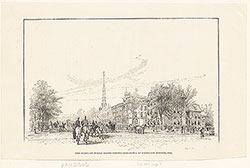 44
44 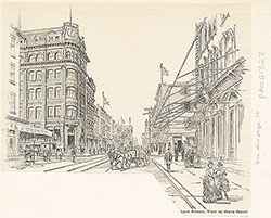 44
44 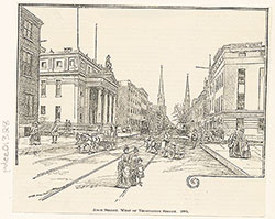 45
45 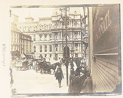 43
43 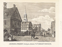 47
47 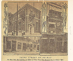 50
50 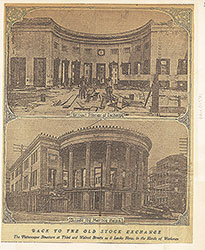 51
51  38
38  39
39  40
40 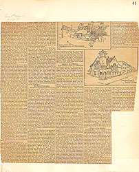 41
41  42
42 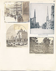 43
43  44
44 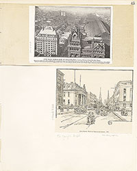 45
45 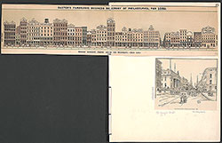 45
45  46
46 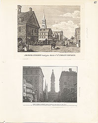 47
47 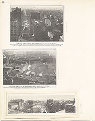 48
48 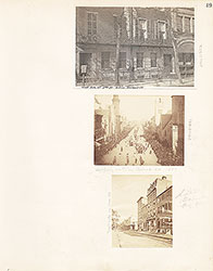 49
49 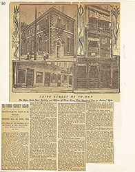 50
50 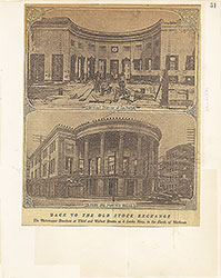 51
51 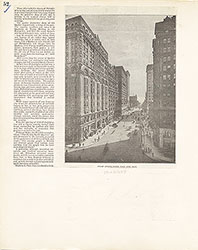 52
52 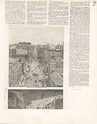 53
53  54
54  59
59 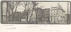 57
57 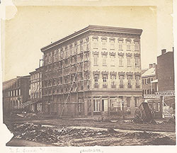 54
54  64
64  62
62 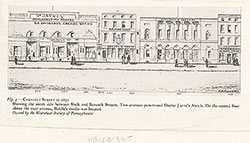 59
59 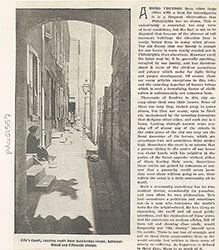 57
57  57
57  56
56  54
54  55
55  56
56  57
57 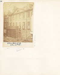 58
58 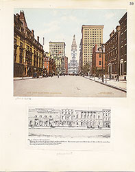 59
59 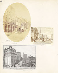 60
60 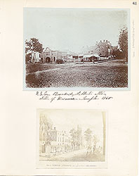 61
61 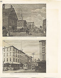 62
62  63
63  64
64 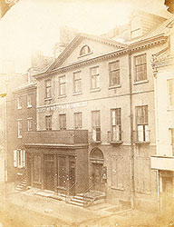 Freeman's Auction House, Walnut Street at 3rd
  69
69  66
66  69
69  69
69  72
72  71
71  71
71 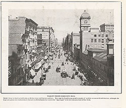 65
65 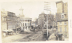 68
68 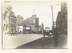 68
68  74
74  67
67 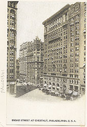 67
67 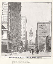 65
65 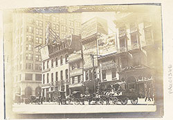 71
71  73
73  73
73  73
73  73
73 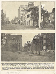 71
71 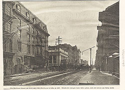 70
70 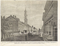 70
70  65
65 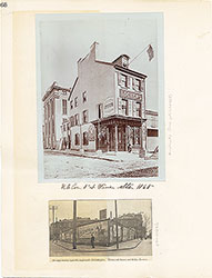 66
66 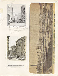 67
67 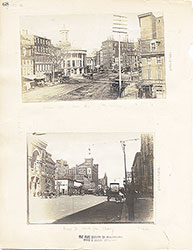 68
68  69
69  70
70 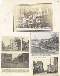 71
71  72
72 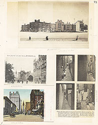 73
73  73
73 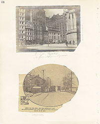 74
74 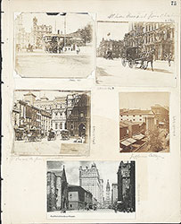 75
75  76
76  66
66  80
80 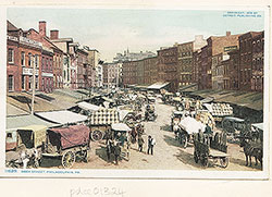 83
83 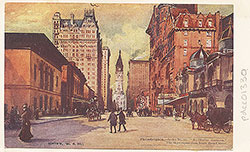 77
77 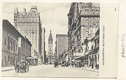 78
78  78
78 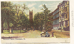 78
78  79
79  79
79 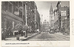 79
79 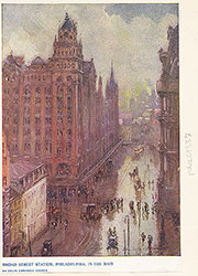 83
83 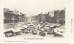 84
84  83
83 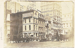 77
77  76
76  78
78  79
79 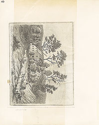 80
80  81
81  82
82  83
83  84
84  93
93  91
91  91
91  88
88  86
86  85
85  97
97  85
85  86
86 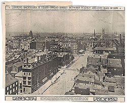 86
86 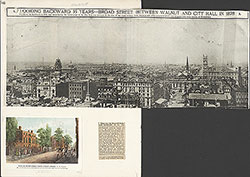 86
86 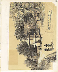 87
87  88
88  88
88 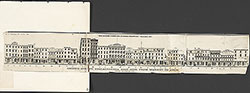 9
9 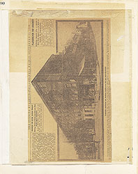 90
90  90
90  91
91  92
92  93
93  94
94  95
95 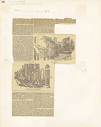 96
96 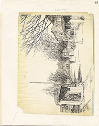 97
97  98
98