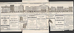
Castner Scrapbook v.12, Streets 1, page 36
Historical Images of Philadelphia Castner Scrapbook Collection
Item Info
Media Type: Scrapbooks
Source: Print and Picture Collection
Notes:
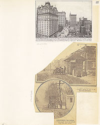
Item pdcc01304, bottom [image dimensions 9.5 cm x 16.7 cm]:
Halftone reproduction of a photograph showing an automobile passing a toll house. Snow coats the road and its verge in this winter scene.
Caption: A point familiar to many Philadelphians. The Overbrook "gate" on the Lancaster turnpike is here illustrated.
From an unidentified newspaper.
Building demolished: YES
Notes:
Item pdcc01366, middle [image dimensions 11.3 cm x 10.6 cm]:
Halftone reproduction of a photograph showing North Broad Street, and City Hall, illuminated for the National Encampment of the Grand Army of the Republic, in 1899.
Taken from an unidentified publication. Caption: One of the decorative features incidental to the National Encampment of the G. A. R. in 1899. At night it was electrically illuminated, as was also the City Hall, and made an effective perspective.
Notes:
Item pdcc01367, top [image dimensions 9.8 cm x 16.0 cm]:
Reproduction of a drawing showing the warehouses and businesses lining Dock Street. Shows horse-drawn wagons and awnings of store fronts.
Clipped from an unidentified newspaper.
Geocode Latitude: Geocode Longitude:-75.144506
Geocode Latitude:39.946489
Call Number: A917.481 P536 v.12
Creator Name: Castner, Samuel, Jr., 1843-1929 - Compiler
 11
11  1B
1B  1
1  1
1  1
1  2
2  2
2  1B
1B 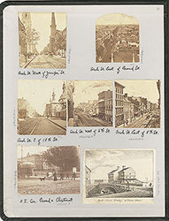 inside front cover
 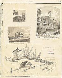 1B
1B  1B
1B 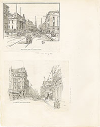 1C
1C 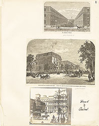 1
1  2
2  2
2 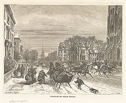 3
3 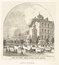 3
3  6
6  7
7  7
7  7
7  8
8  8
8  4
4  4
4  9
9  9
9  9
9 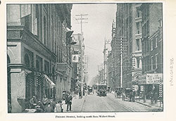 10
10 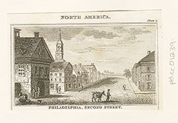 10
10 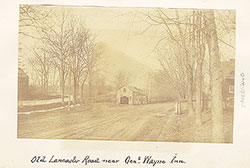 13
13 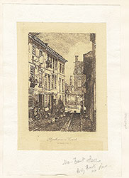 14
14  15
15  15
15  16
16  16
16 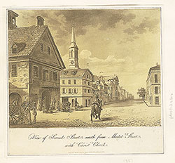 16
16 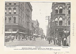 17
17 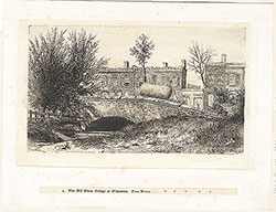 13
13 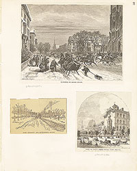 3
3 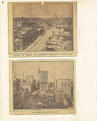 4
4 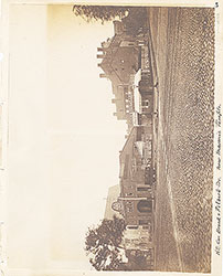 5
5  6
6 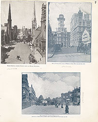 7
7 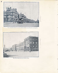 8
8 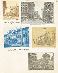 9
9  10
10  11
11  12
12 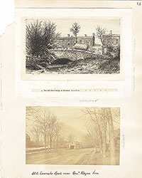 13
13 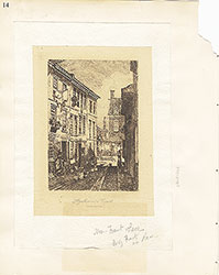 14
14 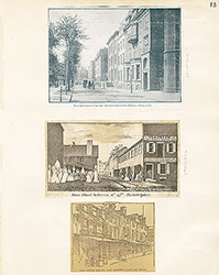 15
15  16
16 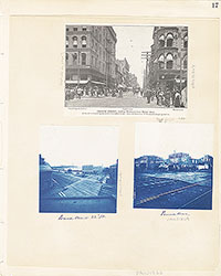 17
17  5
5  17
17  17
17  18
18  18
18  18
18  20
20  22
22  23
23  24
24  24
24  24
24  20
20  20
20  19
19 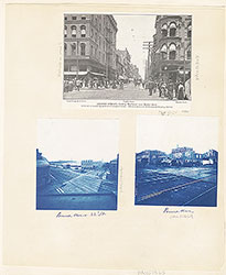 17
17  17
17  17
17 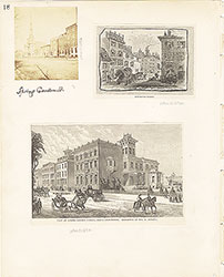 18
18  19
19  20
20  21
21 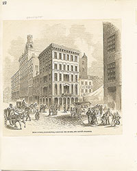 22
22  23
23  24
24  28
28  28
28  30
30  32
32  32
32  26
26 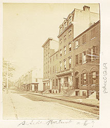 26
26 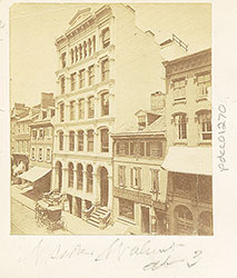 26
26 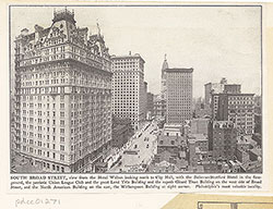 37
37 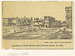 28
28 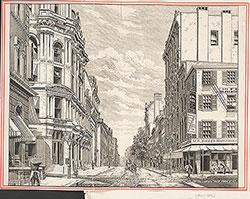 33
33 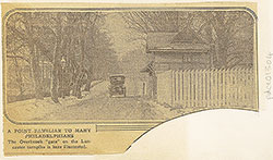 36
36  27
27  29
29  31
31  32
32  32
32 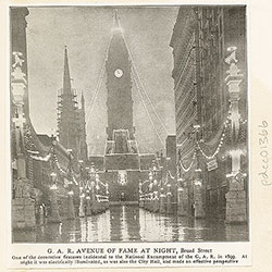 36
36 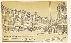 36
36  25
25  26
26  27
27  27
27  28
28  29
29  30
30  31
31  32
32  33
33  34
34 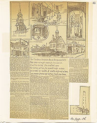 35
35 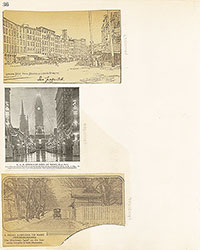 36
36
 37
37  26
26  26
26  42
42 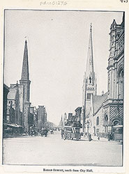 43
43  45
45  48
48  48
48  47
47  48
48 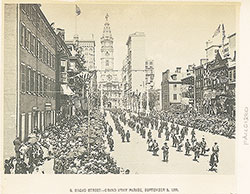 46
46 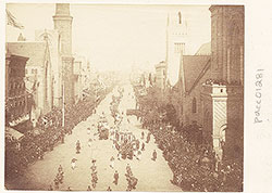 49
49 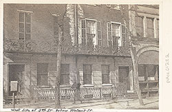 49
49  52
52 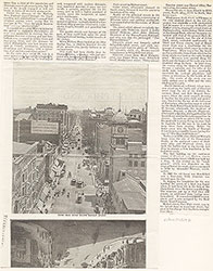 53
53 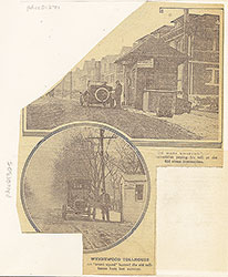 37
37 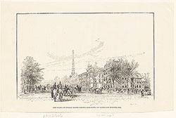 44
44  44
44  45
45  43
43  47
47  50
50  51
51 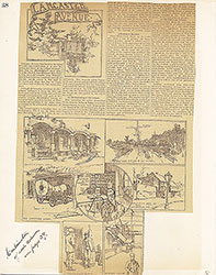 38
38  39
39  40
40  41
41  42
42  43
43  44
44  45
45 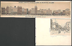 45
45 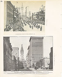 46
46 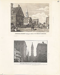 47
47  48
48  49
49  50
50  51
51 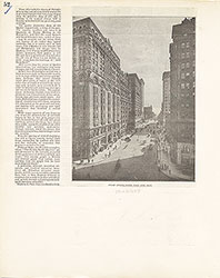 52
52 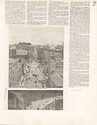 53
53 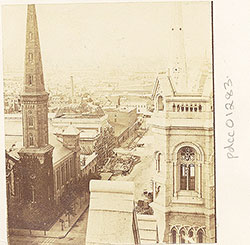 54
54 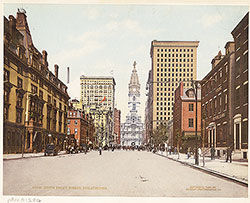 59
59  57
57  54
54  64
64  62
62 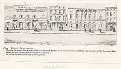 59
59  57
57  57
57  56
56  54
54  55
55  56
56  57
57  58
58  59
59  60
60 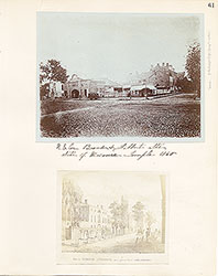 61
61 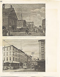 62
62  63
63  64
64  Freeman's Auction House, Walnut Street at 3rd
  69
69  66
66  69
69  69
69  72
72  71
71 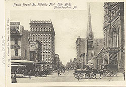 71
71 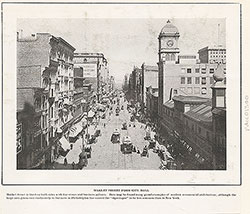 65
65 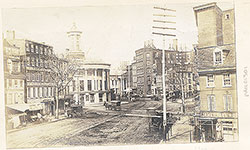 68
68 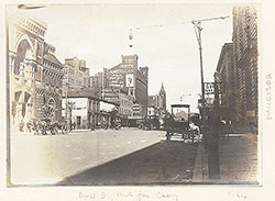 68
68 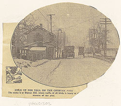 74
74  67
67 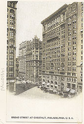 67
67  65
65  71
71 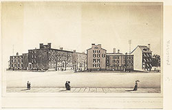 73
73  73
73  73
73  73
73  71
71 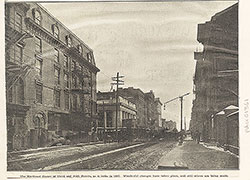 70
70  70
70 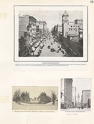 65
65  66
66 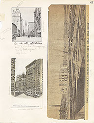 67
67  68
68  69
69  70
70  71
71  72
72  73
73  73
73 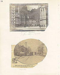 74
74  75
75 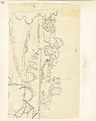 76
76  66
66 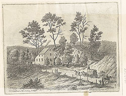 80
80  83
83  77
77 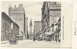 78
78 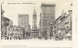 78
78  78
78  79
79  79
79  79
79  83
83 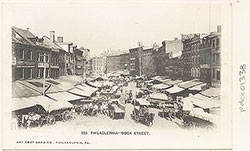 84
84  83
83  77
77 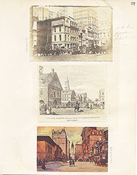 76
76  78
78  79
79  80
80 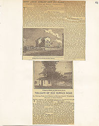 81
81 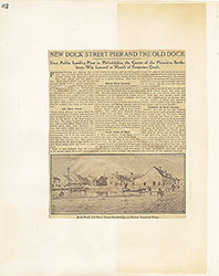 82
82 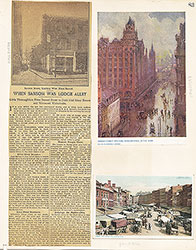 83
83  84
84  93
93  91
91  91
91  88
88  86
86  85
85  97
97  85
85  86
86  86
86  86
86 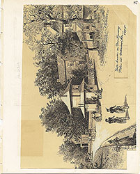 87
87  88
88  88
88  9
9 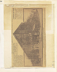 90
90  90
90 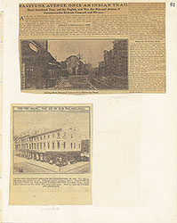 91
91  92
92 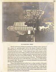 93
93  94
94  95
95 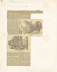 96
96  97
97  98
98