Castner Scrapbook v.7, Walks, Views, Maps, page 1B
Historical Images of Philadelphia Castner Scrapbook Collection
Item Info
Source: Print and Picture Collection
Notes:
Item pdcc00568, top [image dimensions 9.5 cm x 15.4 cm]:
Two figures in the foreground add a bucolic motif to this early Delaware County scene of mills lining Chester Creek.
Notes:
Item pdcc00569, bottom [image dimensions 14.4 cm x 22.4 cm]:
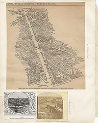
A panoramic view of the city from Fairmount showing land being cleared to make room for the Benjamin Franklin Parkway. The familiar silhouettes of City Hall and the Cathedral of SS Peter and Paul are shown on the left.
Caption reads: The view south-eastward from Fairmount, in the fall of 1917, strikingly resembles war scenes in devastated Belgium. A long-busy manufacturing section is being swept from the path of the Parkway. The important structures thus removed include one public school, located at Twenty-third and Shamokin Streets, and the plants of Charles N. Harder, Erben Harding, the Jones box factory and the large mill of S. B. & B. W. Fleisher, beside scores of lesser industries and numerous houses.
Call Number: A917.481 P536 v.7
Creator Name: Castner, Samuel, Jr., 1843-1929 - Compiler
Taylor, Frank H. (Frank Hamilton), 1846-1927 - Artist
 53
53 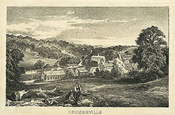 1B
1B  1B
1B  1C
1C  1C
1C  1C
1C 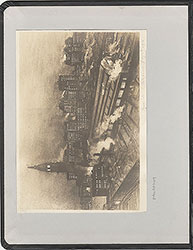 0
0  1B
1B
 1C
1C  2
2  2
2  2
2  2
2  2
2  3
3 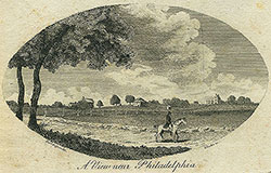 11
11  11
11 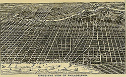 14
14  14
14  15
15  15
15  16
16 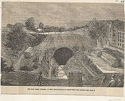 17
17  17
17 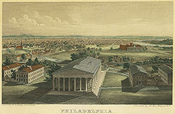 18
18  19
19  19
19  20
20  21
21  22
22  22
22  38
38  42
42  31
31  43
43 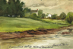 34
34  43
43  43
43  18
18  1
1  2
2 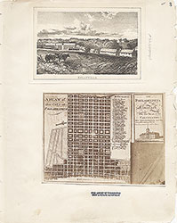 3
3  4
4  5
5  6
6  7
7 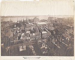 8
8 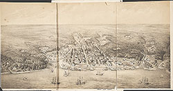 9
9  10
10  11
11  13
13  14
14  15
15  18
18  19
19  20
20  21
21  22
22  23
23 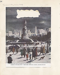 24
24  25
25  26
26  28
28  31
31  32
32  33
33  34
34  35
35  36
36  37
37 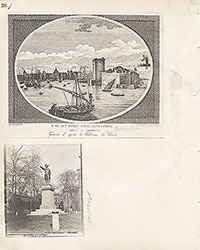 38
38  39
39 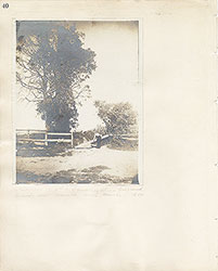 40
40  43
43  43
43  44
44  45
45  46
46 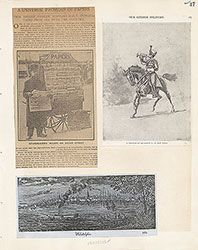 47
47 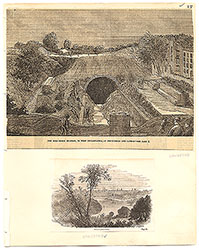 17
17 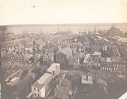 7
7  8
8  6
6 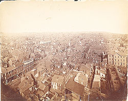 4
4 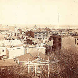 2
2  47
47  53
53  53
53 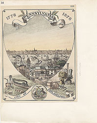 54
54  53
53  55
55  56
56  57
57  49
49  50
50  51
51  52
52  57
57  58
58 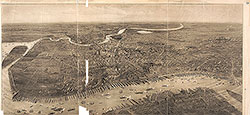 59
59 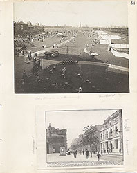 53
53 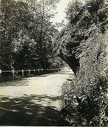 63
63  64
64  64
64 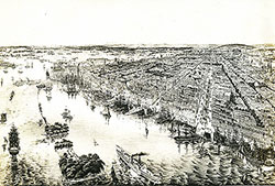 65
65  67
67 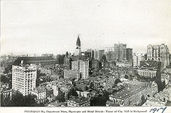 67
67  68
68  70
70 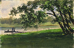 69
69  69
69 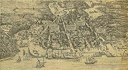 71
71  72
72  74
74  57
57  57
57  57
57  57
57  57
57  57
57 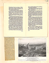 57
57  57
57  60
60  61
61  62
62  63
63  64
64 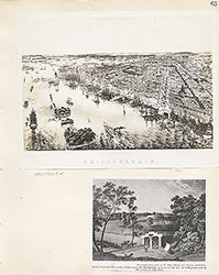 65
65  66
66 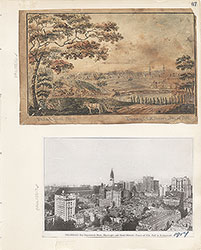 67
67  68
68  69
69  71
71  73
73 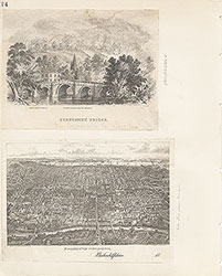 74
74  75
75  76
76  77
77  78
78  79
79  79
79 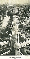 80
80  80
80 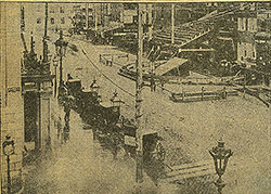 80
80 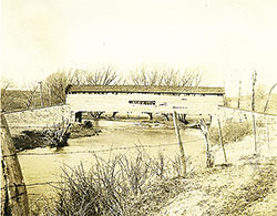 84
84 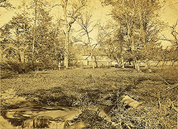 85
85  85
85 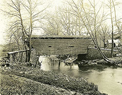 86
86  86
86 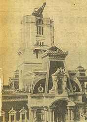 91
91  93
93 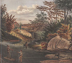 97
97  76
76  78
78  79
79  80
80  81
81  82
82  83
83  84
84  85
85  86
86  87
87  88
88  89
89  90
90  91
91  92
92 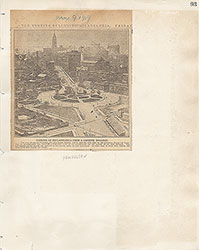 93
93  94
94  00
00  97
97  97
97  97
97  97
97  97
97  97
97  97
97  97
97  97
97  97
97  12
12  27
27  29
29  30
30  41
41  77
77  95
95  96
96 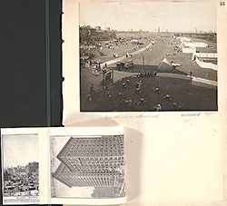 53
53  43
43  43
43  57
57