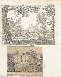
Castner Scrapbook v.7, Walks, Views, Maps, page 76
Historical Images of Philadelphia Castner Scrapbook Collection
Item Info
Item No: pdcc02324
Title: Castner Scrapbook v.7, Walks, Views, Maps, page 76
Historic Street Address:
6th & Race Streets
Media Type: Scrapbooks
Source: Print and Picture Collection
Notes:
Item pdcc00625, bottom [image dimensions 7.9 cm x 11.7 cm]:
Depicts a grand marble fountain and surrounding wrought iron fence. Built in 1837, the fountain sits in the center of Franklin Square, one of the five original public squares in William Penn's plan for the city. Shows men, women and children enjoying the park.
Geocode Latitude: Geocode Longitude:-75.149515
Geocode Latitude:39.954621
Call Number: A917.481 P536 v.7
Creator Name: Castner, Samuel, Jr., 1843-1929 - Compiler
Subjects
 53
53  1B
1B  1B
1B  1C
1C  1C
1C  1C
1C  0
0  1B
1B 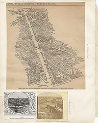 1C
1C  2
2  2
2 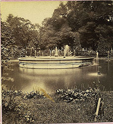 2
2  2
2  2
2 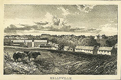 3
3 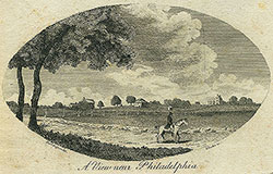 11
11  11
11  14
14  14
14  15
15  15
15  16
16  17
17  17
17  18
18  19
19  19
19  20
20  21
21 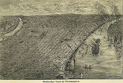 22
22 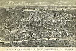 22
22 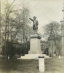 38
38 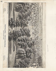 42
42  31
31  43
43  34
34  43
43  43
43  18
18  1
1 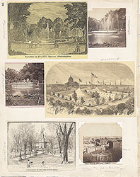 2
2 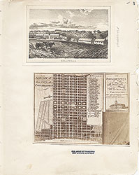 3
3  4
4  5
5  6
6  7
7 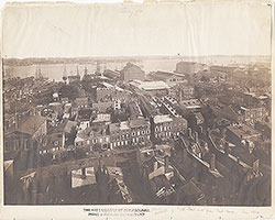 8
8  9
9  10
10  11
11  13
13  14
14  15
15  18
18  19
19  20
20  21
21  22
22  23
23 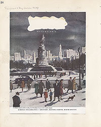 24
24  25
25  26
26  28
28  31
31  32
32 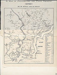 33
33  34
34  35
35  36
36  37
37 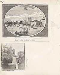 38
38  39
39 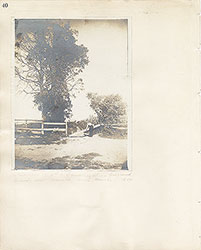 40
40  43
43  43
43  44
44  45
45  46
46 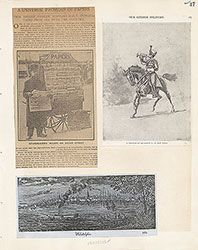 47
47  17
17  7
7  8
8  6
6 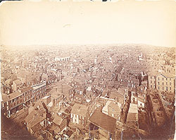 4
4 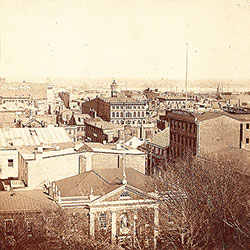 2
2  47
47 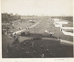 53
53  53
53 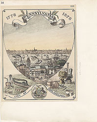 54
54  53
53  55
55  56
56  57
57  49
49  50
50 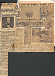 51
51  52
52  57
57  58
58 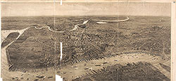 59
59 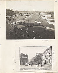 53
53 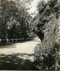 63
63  64
64  64
64  65
65  67
67 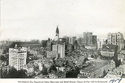 67
67  68
68  70
70  69
69  69
69 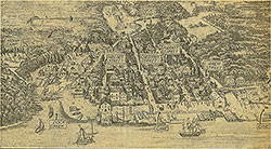 71
71  72
72  74
74  57
57  57
57  57
57  57
57  57
57  57
57  57
57  57
57  60
60  61
61  62
62  63
63  64
64  65
65  66
66  67
67  68
68 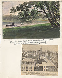 69
69 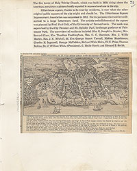 71
71  73
73  74
74  75
75  76
76  77
77  78
78  79
79  79
79 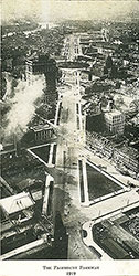 80
80  80
80  80
80  84
84  85
85  85
85  86
86  86
86  91
91  93
93 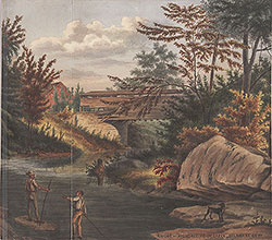 97
97 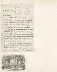 76
76
 78
78 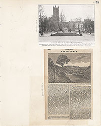 79
79  80
80  81
81  82
82  83
83  84
84  85
85  86
86  87
87  88
88  89
89  90
90  91
91  92
92 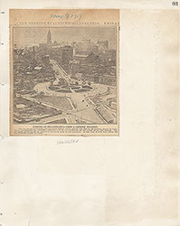 93
93  94
94  00
00  97
97  97
97  97
97  97
97  97
97  97
97  97
97  97
97  97
97  97
97  12
12  27
27 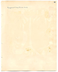 29
29  30
30  41
41  77
77  95
95  96
96 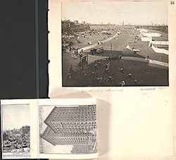 53
53  43
43  43
43  57
57