Castner Scrapbook v.7, Walks, Views, Maps, page 17
Historical Images of Philadelphia Castner Scrapbook Collection
Item Info
Item No: pdcc04021
Title: Castner Scrapbook v.7, Walks, Views, Maps, page 17
Historic Street Address:
43rd & Sansom Streets
Media Type: Scrapbooks
Source: Print and Picture Collection
Notes:
Item pdcc 00587, bottom [image dimensions 9.6 cm x 14.7 cm]:
Depicts a bend in the Schuylkill River, surrounded by trees, with a view of the city in the distance.
Notes:
Item pdcc00586, top [image dimensions 17.9 cm x 26.6 cm]:
Depicts men working on the construction of a large culvert. Mill buildings are shown on the right.
Geocode Latitude: Geocode Longitude:-75.208644
Geocode Latitude:39.955481
Call Number: A917.481 P536 v.7
Creator Name: Castner, Samuel, Jr., 1843-1929 - Compiler
 53
53 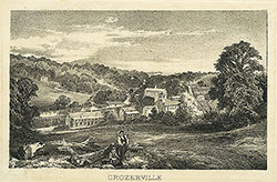 1B
1B 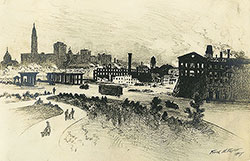 1B
1B  1C
1C  1C
1C  1C
1C  0
0  1B
1B 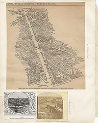 1C
1C  2
2  2
2 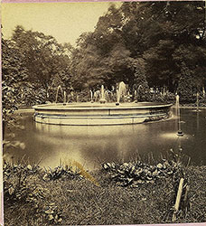 2
2  2
2  2
2  3
3  11
11  11
11  14
14 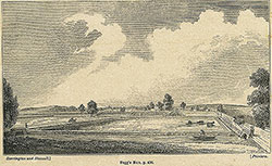 14
14 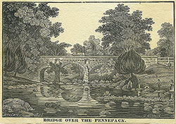 15
15  15
15  16
16 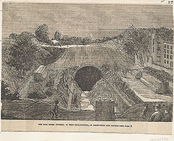 17
17  17
17  18
18  19
19  19
19  20
20  21
21 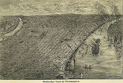 22
22 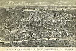 22
22  38
38  42
42  31
31  43
43 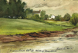 34
34  43
43  43
43  18
18  1
1  2
2  3
3 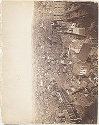 4
4  5
5  6
6  7
7  8
8 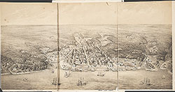 9
9  10
10  11
11  13
13  14
14  15
15  18
18  19
19  20
20  21
21  22
22  23
23  24
24  25
25  26
26  28
28  31
31  32
32  33
33  34
34  35
35  36
36  37
37 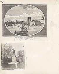 38
38  39
39 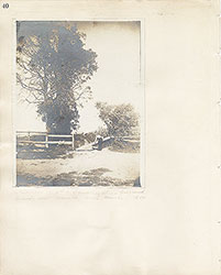 40
40  43
43  43
43  44
44  45
45  46
46 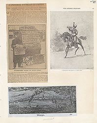 47
47 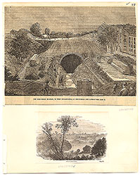 17
17
 7
7  8
8  6
6  4
4 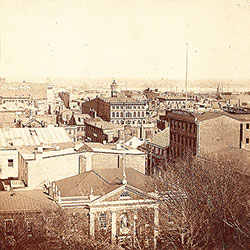 2
2  47
47 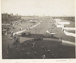 53
53  53
53  54
54 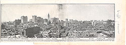 53
53 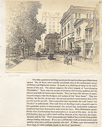 55
55  56
56  57
57  49
49  50
50  51
51  52
52 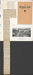 57
57  58
58 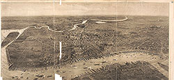 59
59 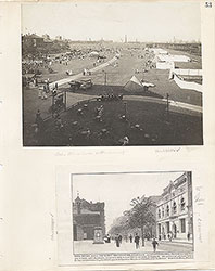 53
53 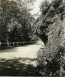 63
63 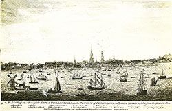 64
64 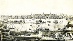 64
64  65
65  67
67  67
67 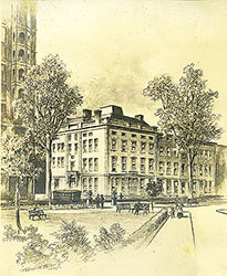 68
68  70
70 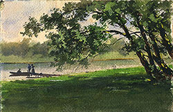 69
69  69
69  71
71 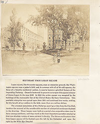 72
72 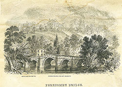 74
74  57
57  57
57  57
57  57
57  57
57  57
57 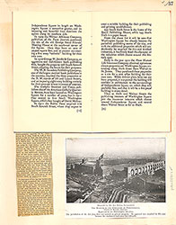 57
57  57
57 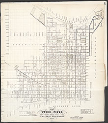 60
60 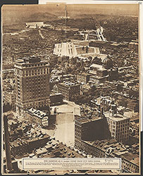 61
61  62
62 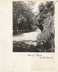 63
63  64
64 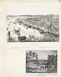 65
65  66
66 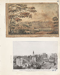 67
67  68
68 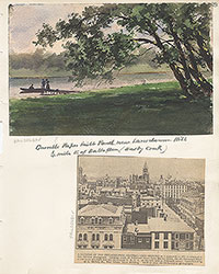 69
69  71
71  73
73 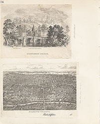 74
74  75
75  76
76  77
77  78
78  79
79  79
79  80
80  80
80 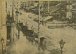 80
80  84
84 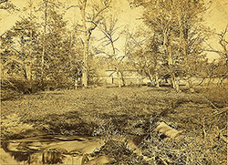 85
85  85
85 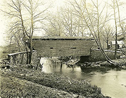 86
86 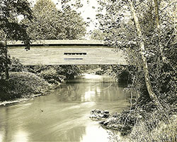 86
86  91
91  93
93  97
97  76
76 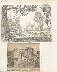 78
78 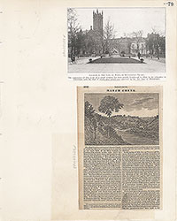 79
79  80
80  81
81  82
82  83
83  84
84  85
85 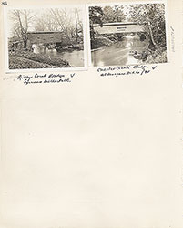 86
86 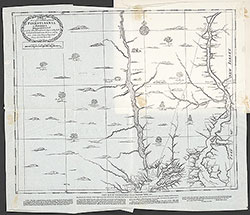 87
87  88
88  89
89  90
90  91
91  92
92  93
93  94
94  00
00  97
97  97
97  97
97  97
97  97
97  97
97  97
97  97
97  97
97 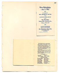 97
97  12
12  27
27  29
29  30
30  41
41  77
77  95
95  96
96 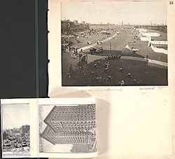 53
53 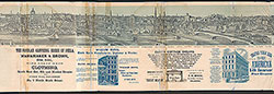 43
43 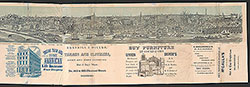 43
43  57
57