Castner Scrapbook v.7, Walks, Views, Maps, page 53
Historical Images of Philadelphia Castner Scrapbook Collection
Item Info
Media Type: Scrapbooks
Source: Print and Picture Collection
Notes:
Item pdcc00604, top [image dimensions 18.3 cm x 23.0 cm]:
Undated photograph of an outdoor event on open ground in West Philadelphia. Shows people strolling the grounds and sitting at tables taking refreshments. Tents and screened off areas are also shown. A paved pathway leads off into the distance. The towers of the University of Pennsylvania's Franklin Field are visible on the left. Motor cars can be seen parked in the foreground.
Notes:
Item pdcc00605, bottom [image dimensions 10.2 cm x 15.3 cm]:
Halftone reproduction of photograph looking west along the 500 block of Chestnut Street. Congress Hall, adorned with a cupola, is visible on the left just beyond a wing of Independence Hall. Among the pedestrians is a young boy in the foreground dressed in a sailor's suit. Horse-drawn carriages approach from above Sixth Street. Opposite Independence Hall stands the Real Estate Title Insurance and Trust Co. building, 523 Chestnut Street.
Geocode Latitude: Geocode Longitude:-75.149530
Geocode Latitude:39.949084
Call Number: A917.481 P536 v.7
Creator Name: Castner, Samuel, Jr., 1843-1929 - Compiler
Rau, William Herman, 1855-1920 - Photographer
 53
53  1B
1B  1B
1B  1C
1C  1C
1C  1C
1C  0
0  1B
1B 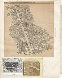 1C
1C  2
2  2
2  2
2  2
2  2
2  3
3  11
11  11
11  14
14  14
14  15
15  15
15  16
16 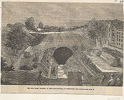 17
17  17
17 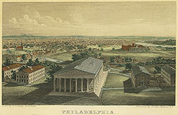 18
18 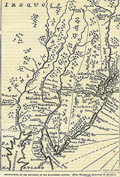 19
19  19
19 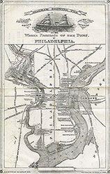 20
20  21
21 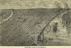 22
22 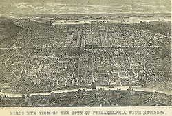 22
22  38
38  42
42  31
31  43
43  34
34  43
43  43
43  18
18  1
1  2
2  3
3  4
4  5
5  6
6  7
7  8
8  9
9  10
10  11
11  13
13  14
14  15
15  18
18  19
19  20
20  21
21  22
22  23
23 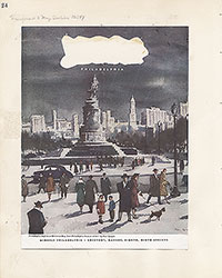 24
24  25
25  26
26  28
28  31
31  32
32  33
33  34
34  35
35  36
36  37
37  38
38  39
39 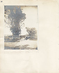 40
40  43
43  43
43  44
44  45
45  46
46  47
47  17
17 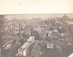 7
7  8
8 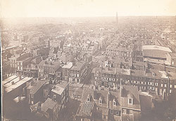 6
6  4
4  2
2  47
47 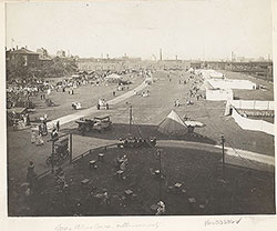 53
53 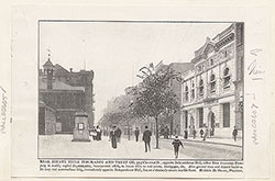 53
53  54
54  53
53  55
55  56
56  57
57  49
49  50
50 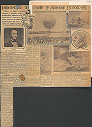 51
51  52
52  57
57  58
58  59
59 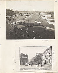 53
53
 63
63  64
64  64
64  65
65  67
67  67
67  68
68  70
70  69
69  69
69  71
71  72
72  74
74  57
57  57
57  57
57  57
57  57
57  57
57 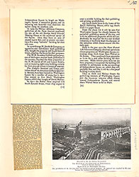 57
57  57
57  60
60  61
61  62
62  63
63  64
64  65
65 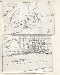 66
66 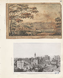 67
67  68
68 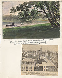 69
69  71
71  73
73  74
74  75
75  76
76  77
77  78
78  79
79  79
79 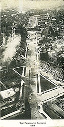 80
80  80
80 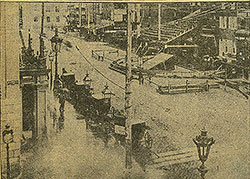 80
80  84
84  85
85  85
85  86
86  86
86  91
91  93
93 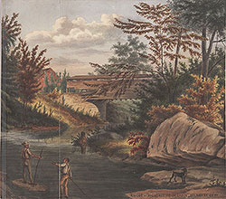 97
97  76
76  78
78  79
79  80
80  81
81  82
82  83
83  84
84  85
85  86
86  87
87  88
88  89
89  90
90  91
91  92
92  93
93  94
94  00
00  97
97  97
97  97
97  97
97  97
97  97
97  97
97  97
97  97
97  97
97  12
12  27
27  29
29  30
30  41
41  77
77  95
95  96
96 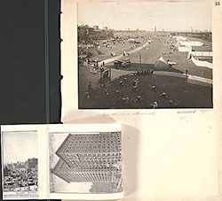 53
53  43
43  43
43  57
57