Castner Scrapbook v.10, Transportation, page 90
Historical Images of Philadelphia Castner Scrapbook Collection
Item Info
Item No: pdcc02615
Title: Castner Scrapbook v.10, Transportation, page 90
Historic Street Address:
13th & Chestnut Streets
Media Type: Scrapbooks
Source: Print and Picture Collection
Notes:
Item pdcc00992 [image dimensions 19.5 cm x 14.7 cm]:
Reproduction of a photograph, published in Fortune magazine, June 1936, illustrating an article on transportation in Philadelphia. Hand traffic signals (shown lower right) control the movement of traffic at this busy intersection. Automobiles share the road with trolleys, and the sidewalks are teeming with pedestrians. The big pillars of the John Wanamaker department store can be seen on the right edge.
Geocode Latitude: Geocode Longitude:-75.161716
Geocode Latitude:39.950369
Call Number: A917.481 P536 v.10
Creator Name: Castner, Samuel, Jr., 1843-1929 - Compiler
Roberts, H. Armstrong - Photographer
 1A
1A  1A
1A  1B
1B  3
3  4
4  7
7  7
7  8
8  8
8  12
12  14
14 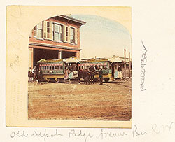 14
14  18
18  12
12  1
1  11
11 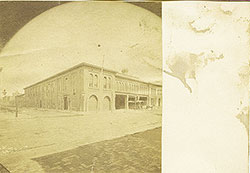 11
11  4
4  13
13  1
1  14
14  14
14  13
13  13
13  inside front cover
  1A
1A  1B
1B 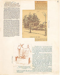 1
1  2
2  3
3  4
4  5
5  6
6  7
7  8
8  9
9 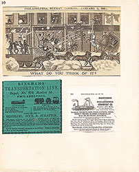 10
10  11
11  12
12  13
13  14
14  15
15  15
15 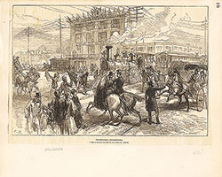 16
16  17
17  18
18  21
21  22
22  22
22  23
23  19
19  23
23  24
24  24
24  25
25  25
25  27
27  28
28  28
28  28
28  32
32  32
32  30
30  31
31  31
31  33
33  33
33  33
33  34
34  35
35  35
35  35
35  36
36  36
36  34
34  37
37  41
41  42
42  42
42 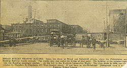 19
19 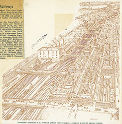 21
21  19
19  20
20  21
21  22
22 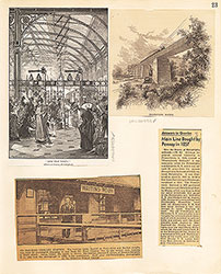 23
23  24
24  25
25  26
26  27
27  27
27  28
28  29
29  30
30  31
31 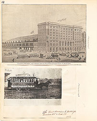 32
32 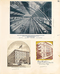 33
33  34
34  35
35  36
36 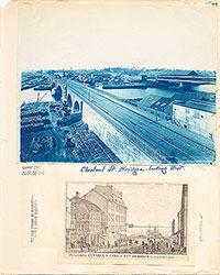 37
37  38
38  39
39  40
40  41
41  42
42  43
43  37
37  45
45  47
47  49
49 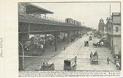 55
55  53
53  55
55  55
55  53
53 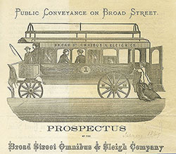 57
57  63
63  65
65  67
67  72
72  47
47  49
49  60
60  60
60  60
60 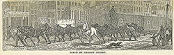 60
60  43
43  52
52 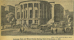 50
50  53
53  52
52  58
58  63
63  70
70  44
44 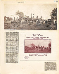 45
45  45
45  46
46  47
47  48
48  49
49  49
49 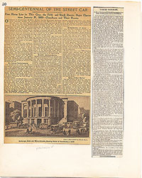 50
50  51
51  52
52  53
53  54
54 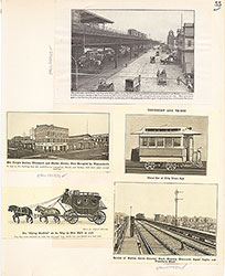 55
55  56
56  57
57  57
57  57
57  58
58  59
59  59
59  59
59  60
60  61
61  62
62  63
63 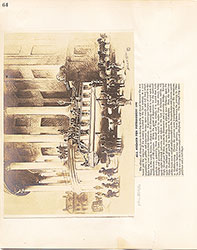 64
64  65
65  66
66  67
67  68
68  69
69  69
69 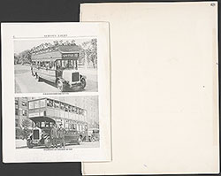 69
69  70
70  71
71  72
72  73
73  74
74  75
75  81
81  78
78  85
85 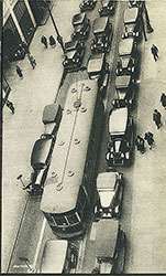 85
85  89
89 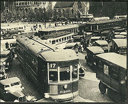 89
89  90
90  93
93  94
94 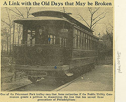 96
96  84
84  77
77  80
80  77
77  77
77  79
79  82
82  82
82  83
83  84
84  84
84  84
84 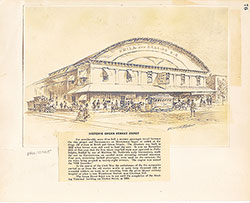 76
76  77
77  78
78  79
79 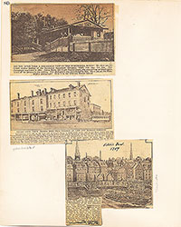 80
80  81
81  82
82  83
83  84
84  84
84 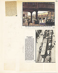 85
85  86
86  87
87  88
88 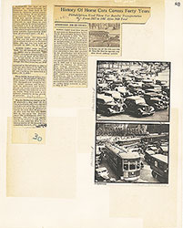 89
89 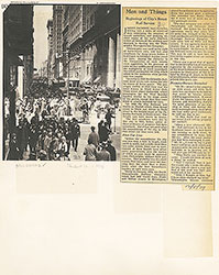 90
90
 91
91  92
92  93
93 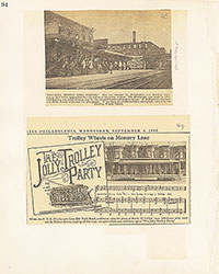 94
94  95
95  96
96  inside back cover