
Item Info
Item No: pdcc01177
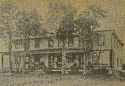
Title: The Punch Bowl
Historic Street Address:
Broad & Diamond Streets
Media Type: Scrapbooks
Source: Print and Picture Collection
Notes:
Half-tone reproduction of a photograph of the "Punch Bowl" roadhouse on North Broad Street near the junction with Diamond. In the late 1860s, the "Bowl", as it was known, became popular when people sat on its elevated porches to watch the horse-racing up Broad Street and out Lamb Tavern Road.
Clipping from an unidentified newspaper.
Geocode Latitude: Geocode Longitude:-75.156570
Geocode Latitude:39.984699
Call Number: A917.481 P536 v.11
Creator Name: F. Gutekunst, Photographers (Philadelphia, Pa.) - Photographer
Castner, Samuel, Jr., 1843-1929 - Compiler
 1A
1A  1A
1A  1A
1A  1B
1B 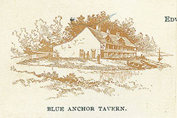 1B
1B  1B
1B  1B
1B  1
1 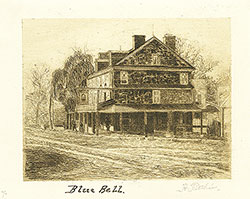 1C
1C  1C
1C  1C
1C  2
2  2
2  3
3  3
3  3
3 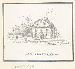 3
3  3
3  4
4  4
4 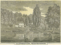 4
4  4
4  4
4  1C
1C 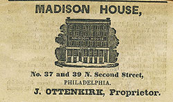 1C
1C  1C
1C  1
1  1A
1A 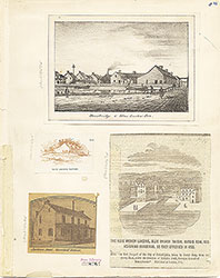 1B
1B  1C
1C  1
1  2
2  3
3  4
4 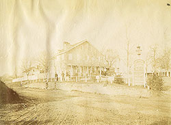 5
5  5
5  6
6  6
6  6
6  6
6 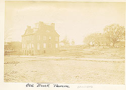 7
7  7
7  8
8  8
8 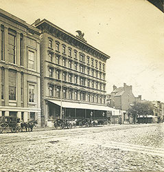 9
9  57
57  9
9  5
5  5
5  6
6 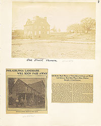 7
7  8
8 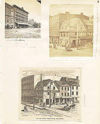 9
9 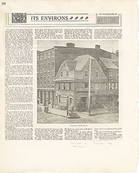 10
10 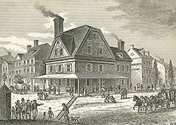 11
11  11
11  12
12  13
13 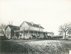 13
13  16
16 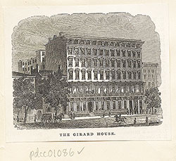 16
16  17
17  17
17  17
17  18
18  18
18  18
18  19
19  22
22 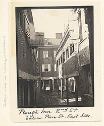 22
22  22
22  17
17  24
24 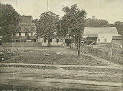 24
24  25
25  25
25  26
26 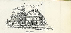 27
27  14
14  14
14 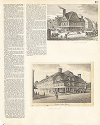 11
11 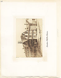 12
12 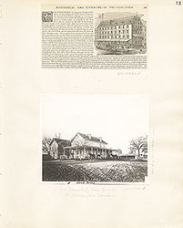 13
13  14
14  15
15 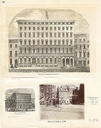 16
16  17
17  18
18  19
19 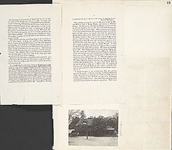 19
19 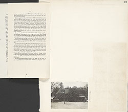 19
19  20
20  21
21 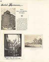 22
22  23
23  24
24  25
25 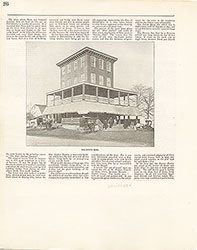 26
26  27
27  16
16  28
28  28
28  29
29  31
31  31
31 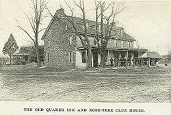 34
34  34
34  34
34 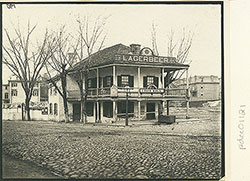 34
34  35
35  35
35  35
35  35
35  35
35  36
36  36
36  36
36  36
36  36
36  38
38  39
39  41
41  42
42  43
43 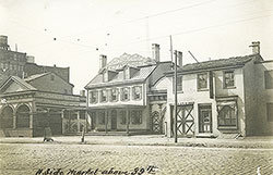 43
43 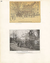 28
28  29
29  30
30 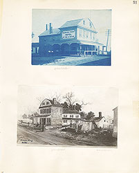 31
31 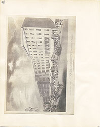 32
32  33
33  34
34  35
35 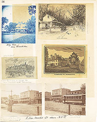 36
36  37
37  38
38  39
39  40
40 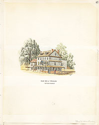 41
41  42
42  43
43  54
54  44
44  45
45  47
47  47
47  47
47  48
48  48
48  49
49  49
49  49
49  50
50  51
51  51
51  54
54  56
56  56
56  52
52  55
55 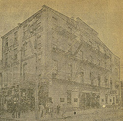 53
53  44
44  45
45  46
46 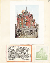 47
47  48
48  49
49  50
50  51
51  52
52  53
53 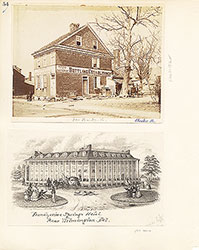 54
54  55
55 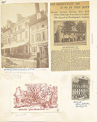 56
56  Black Bear Inn, 5th Street at Market
  56
56  58
58 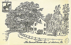 61
61 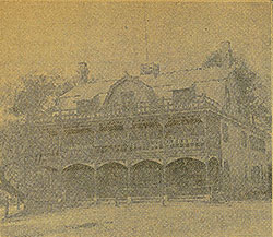 65
65 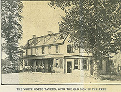 59
59  59
59 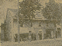 56
56 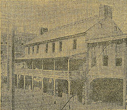 61
61  58
58  58
58 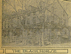 60
60  60
60  60
60  60
60 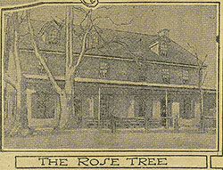 60
60  62
62  62
62  62
62 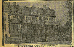 62
62  63
63  57
57  58
58  59
59  60
60  61
61  62
62  63
63  64
64 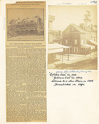 65
65  66
66  67
67  68
68  74
74 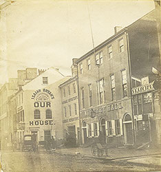 80
80  83
83  85
85  84
84  85
85 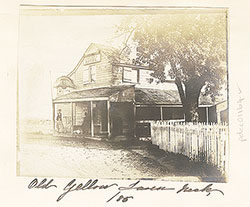 86
86  82
82  69
69  86
86  71
71  72
72  73
73 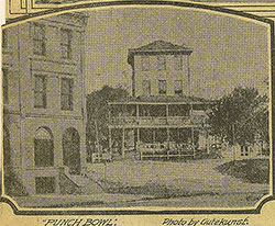 73
73
 75
75  82
82  84
84  86
86  81
81  69
69 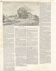 70
70  71
71 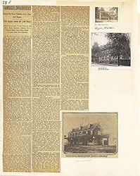 72
72  73
73  74
74  75
75  76
76  77
77  77
77 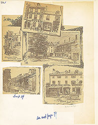 78
78 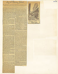 79
79  80
80  81
81  82
82 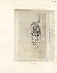 83
83  84
84  85
85 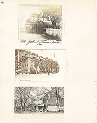 86
86 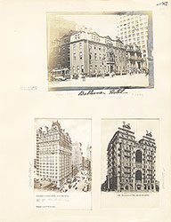 87
87 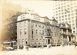 87
87  92
92  87
87  87
87 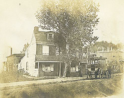 91
91 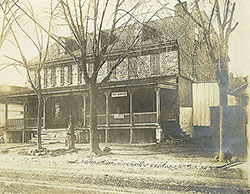 91
91 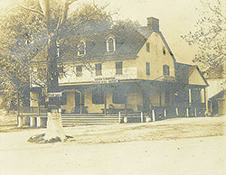 92
92 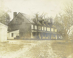 93
93 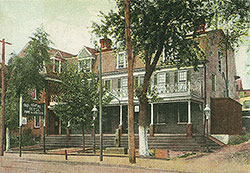 94
94  94
94  96
96  97
97  97
97  88
88  90
90 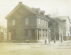 89
89  88
88  89
89  90
90  91
91  92
92 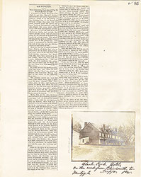 93
93  94
94  95
95  96
96  97
97